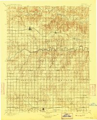
1896 Map of Russell
USGS Topo · Published 1908About this map
The Saline River and Smoky Hill River wind across this central Kansas landscape, defining the early water and rail corridors of the late 19th century. This survey, conducted in 1892, shows the dense grid of townships spanning from Paradise in the north to the northern edge of the Cheyenne Bottoms in the south. The expansion of the Union Pacific railroad is the primary axis of growth, connecting the established town of Russell with smaller outposts like Bunker Hill and Dorrance. To the south, the Missouri Pacific R. R. serves as the economic lifeline for the rising industrial and agricultural centers of Hoisington and Claflin.
Find a feature on this map
57 named features on this map. Tap any name to fly to it.
Don’t see what you’re looking for? This feature index may not catch every label — zoom into the map to look around manually.
Map Details
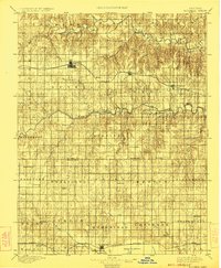
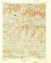
Editions of this 1896 Russell Map
4 editions found
Other maps of this area

1889 · Larned
USGS Topo · 1:125,000

1891 · Great Bend
USGS Topo · 1:125,000

1891 · Larned
USGS Topo · 1:125,000

1893 · Great Bend
USGS Topo · 1:125,000

1894 · Ellsworth
USGS Topo · 1:125,000

1894 · Lyons
USGS Topo · 1:125,000

1894 · Beloit
USGS Topo · 1:125,000

1896 · Osborne
USGS Topo · 1:125,000

1896 · Russell
USGS Topo · 1:125,000

1896 · Hays
USGS Topo · 1:125,000