2000s (21st Century) Maps of Buffalo Township, Kansas
Explore 20 historic maps of Buffalo Township from the 2000s (21st Century). These maps offer a rare glimpse into what life looked like during the 2000s — showing old roads, neighborhoods, homes, and landmarks that have changed or disappeared over time.
Whether you're researching your family's past, planning a metal detecting trip, or studying how Buffalo Township's landscape evolved across the 2000s, these high-resolution maps are a powerful tool for exploring the history of this region.
- Focus on a specific era: All maps on this page are from the 2000s, giving you a focused view of this time period.
- See what’s changed: Compare century-old streets, trails, and buildings to today's modern landscape using overlays and satellite layers.
- Research with precision: Use these maps for genealogy, historical research, land use analysis, or educational projects.
- View, download, or print: Maps are fully viewable online in high resolution, and can be downloaded or printed for your own records.
Start exploring Buffalo Township's history through authentic maps from the 2000s. This is your window into the past.
Buffalo Township, KS maps
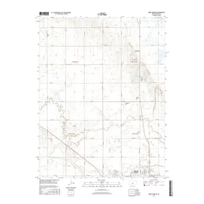
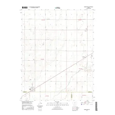
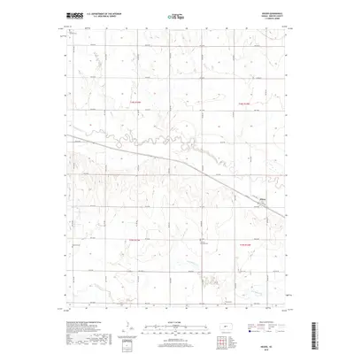
(20)- 2009 Map of Pawnee Rock, 2009 Print
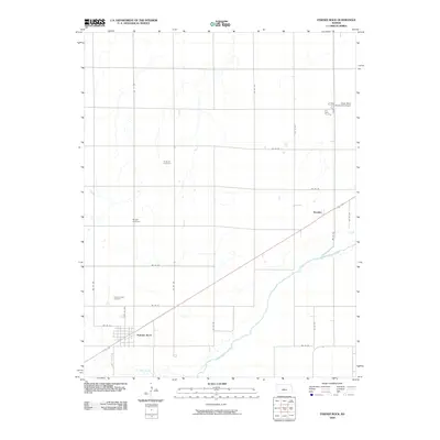 2009 Pawnee Rock2009 Print · USGSCovers Buffalo Township, including Great Bend, Pawnee Rock, and other nearby areas
 - 2009 Map of Great Bend NE, 2009 Print
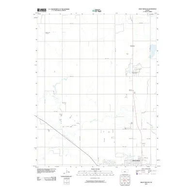 2009 Great Bend NE2009 Print · USGSCovers Buffalo Township, including Great Bend, Kanbrick, and other nearby areas
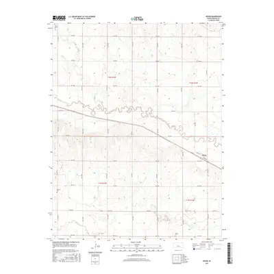
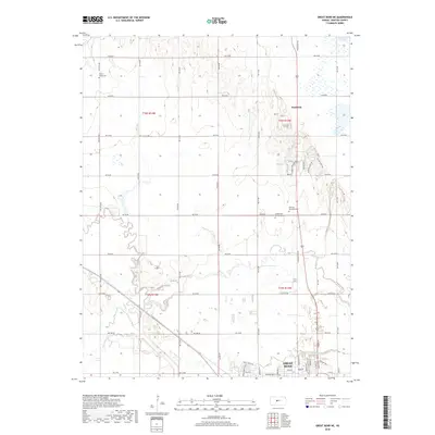
 - 2009 Map of Heizer, 2009 Print
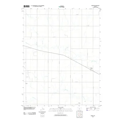 2009 Heizer2009 Print · USGSCovers Buffalo Township, including Heizer, Barton County, and other nearby areas
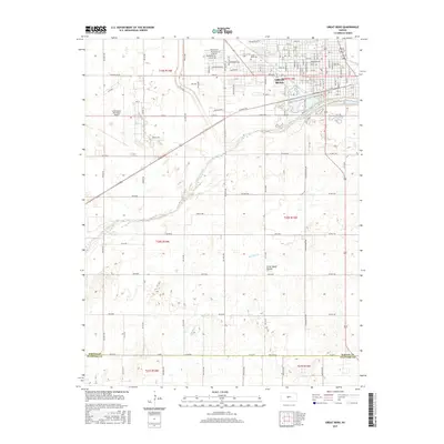
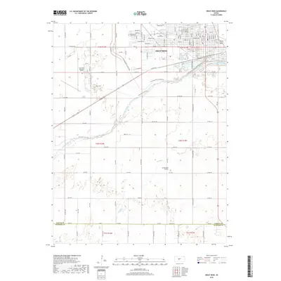
 - 2009 Map of Great Bend, 2009 Print
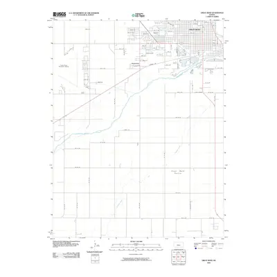 2009 Great Bend2009 Print · USGSCovers Buffalo Township, including Great Bend, Anchorway, and other nearby areas
 - 2012 Map of Great Bend, 2012 Print
 2012 Great Bend2012 Print · USGSCovers Buffalo Township, including Great Bend, Anchorway, and other nearby areas
 - 2012 Map of Pawnee Rock, 2012 Print
 2012 Pawnee Rock2012 Print · USGSCovers Buffalo Township, including Great Bend, Pawnee Rock, and other nearby areas
 - 2012 Map of Heizer, 2012 Print
 2012 Heizer2012 Print · USGSCovers Buffalo Township, including Heizer, Barton County, and other nearby areas
 - 2012 Map of Great Bend NE, 2012 Print
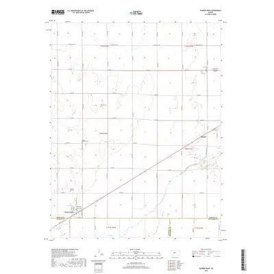
 2012 Great Bend NE2012 Print · USGSCovers Buffalo Township, including Great Bend, Kanbrick, and other nearby areas
 - 2015 Map of Great Bend NE, 2015 Print
 2015 Great Bend NE2015 Print · USGSCovers Buffalo Township, including Great Bend, Kanbrick, and other nearby areas
 - 2015 Map of Great Bend, 2015 Print
 2015 Great Bend2015 Print · USGSCovers Buffalo Township, including Great Bend, Anchorway, and other nearby areas
 - 2015 Map of Pawnee Rock, 2015 Print
 2015 Pawnee Rock2015 Print · USGSCovers Buffalo Township, including Great Bend, Pawnee Rock, and other nearby areas
 - 2015 Map of Heizer, 2015 Print
 2015 Heizer2015 Print · USGSCovers Buffalo Township, including Heizer, Barton County, and other nearby areas
 - 2018 Map of Heizer, 2018 Print
 2018 Heizer2018 Print · USGSCovers Buffalo Township, including Heizer, Barton County, and other nearby areas
 - 2018 Map of Great Bend, 2018 Print
 2018 Great Bend2018 Print · USGSCovers Buffalo Township, including Great Bend, Anchorway, and other nearby areas
 - 2018 Map of Pawnee Rock, 2018 Print
 2018 Pawnee Rock2018 Print · USGSCovers Buffalo Township, including Great Bend, Pawnee Rock, and other nearby areas
 - 2018 Map of Great Bend NE, 2018 Print
 2018 Great Bend NE2018 Print · USGSCovers Buffalo Township, including Great Bend, Kanbrick, and other nearby areas
 - 2022 Map of Pawnee Rock, 2022 Print
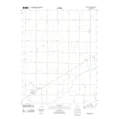
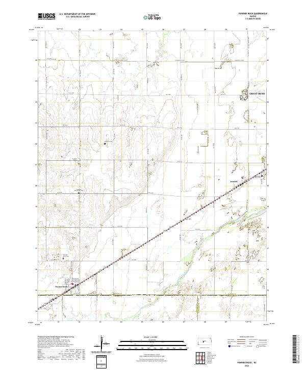 2022 Pawnee Rock2022 Print · USGSThe bluffs and river plains of Barton County are captured in this modern survey of the Kansas prairie. Genealogists can trace family footprints at Rockville Cem, Dundee Valley Cem, and the historic settlement of Pawnee Rock.
 - 2022 Map of Heizer, 2022 Print
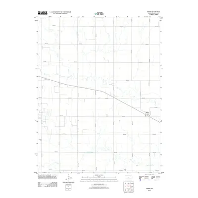
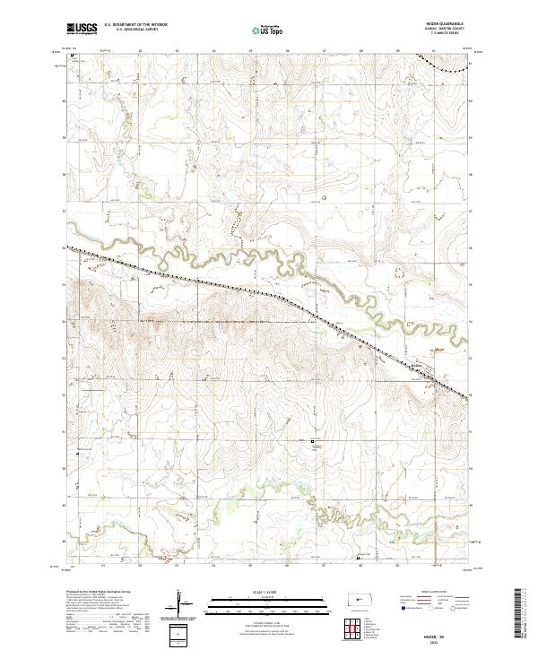 2022 Heizer2022 Print · USGSBarton County agriculture and small-town life are captured here during the early twenty-first century. Researchers can trace family sites at Patterson Cem and Everett Cem or follow the water courses of Walnut Cr through the settlement of Heizer.
 - 2022 Map of Great Bend NE, 2022 Print
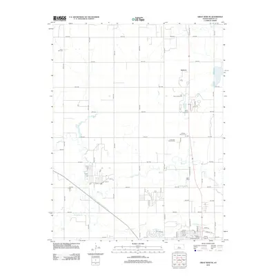
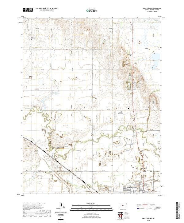 2022 Great Bend NE2022 Print · USGSThe northern reaches of Great Bend and the rural sections of Barton County are detailed here in this contemporary survey. Genealogists can trace family burial sites at Walnut Valley Cem or Hillcrest Memorial Park, while outdoorsmen can map the courses of Walnut Cr and Blood Cr.
 - 2022 Map of Great Bend, 2022 Print
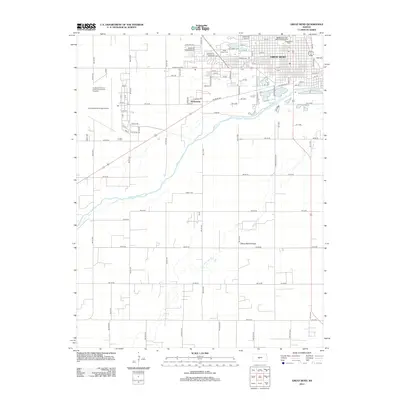
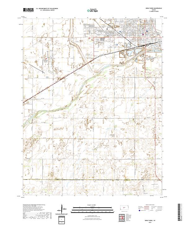 2022 Great Bend2022 Print · USGSGreat Bend and the surrounding prairie come into sharp focus in this recent survey of central Kansas. Genealogists and local researchers can pinpoint the Barton County Courthouse, Great Bend Cem, and the path of the Arkansas River.
End of results
Showing maps 1-20 of 20
Top cities near Buffalo Township
- Great Bend historical maps
- Larned historical maps
- Hoisington historical maps
- Pawnee Rock historical maps
- Otis historical maps
- Albert historical maps
See more
Top neighborhoods of Buffalo Township
Frequently asked questions
- What are the different types of historical maps available for Buffalo Township?
- What is the oldest map of Buffalo Township?
- Where can I purchase historical maps of Buffalo Township for my home or office?
- Where can I download high-res historical maps of Buffalo Township?
- Are there historical topographic maps available for Buffalo Township?
- Is there historical aerial imagery available for Buffalo Township?
- Where are historical maps of Buffalo Township sourced from?