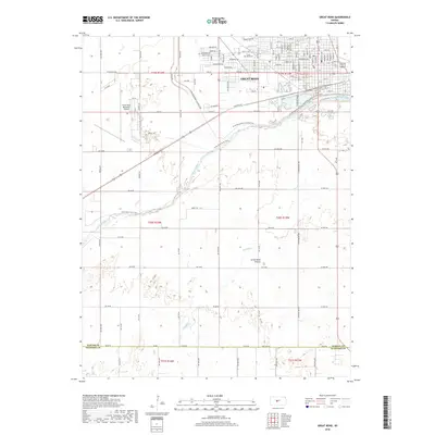
2018 Map of Great Bend
USGS Topo · Published 2018About this map
The Arkansas River meanders across the central landscape of this Great Bend area, anchoring a region where the urban grid of Great Bend meets the open expanse of the Great Bend Prairie. This 2018 survey details the transition from high-density residential streets like Eisenhower Ave and McKinley St to the industrial and logistical infrastructure of the Great Bend Municipal Airport. To the north, the Great Bend Cem sits as a significant local landmark for genealogists. The map also traces the path of Antelope Cr as it flows toward the main river channel, illustrating the drainage patterns that have long influenced settlement and agriculture in Barton County. A mix of historical street names and modern thoroughfares, including Railroad Ave, reflects the city's enduring role as a regional transportation hub.
Find a feature on this map
115 named features on this map. Tap any name to fly to it.
Don’t see what you’re looking for? This feature index may not catch every label — zoom into the map to look around manually.
Map Details
Editions of this 2018 Great Bend Map
This is the sole edition of this map. No revisions or reprints were ever made.
Other maps of this area
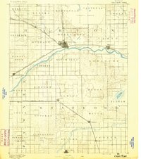
1891 · Great Bend
USGS Topo · 1:125,000
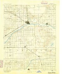
1893 · Great Bend
USGS Topo · 1:125,000

1955 · Great Bend
USGS Topo · 1:250,000
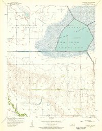
1956 · Ellinwood NW
USGS Topo · 1:24,000

1957 · Great Bend
USGS Topo · 1:250,000
1957 · Ellinwood SW
USGS Topo · 1:24,000

1958 · Great Bend
USGS Topo · 1:250,000
1958 · Great Bend
USGS Topo · 1:24,000
1959 · Great Bend NE
USGS Topo · 1:24,000
1960 · Pawnee Rock
USGS Topo · 1:24,000