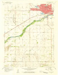
1958 Map of Great Bend
USGS Topo · Published 1959About this map
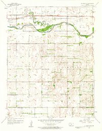
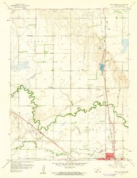
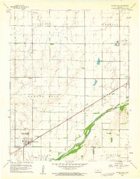
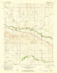
The Arkansas River serves as the primary geographical anchor for this 1958 survey, with the city of Great Bend established on its northern banks. The landscape shows a distinct transition from the dense urban grid of the city, characterized by numerous educational and civic landmarks like the Court House, St Rose Hospital, and schools such as Harrison Jr High Sch and Washington Sch, to the agricultural and industrial plains of Barton and Stafford Counties. The Atchison Topeka and Santa Fe railroad bisects the terrain, illustrating the critical transportation corridor that fueled the region's development.
Find a feature on this map
36 named features on this map. Tap any name to fly to it.
Don’t see what you’re looking for? This feature index may not catch every label — zoom into the map to look around manually.
Map Details
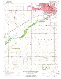
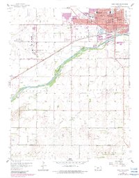
Editions of this 1958 Great Bend Map
3 editions found
Other maps of this area

1891 · Great Bend
USGS Topo · 1:125,000

1893 · Great Bend
USGS Topo · 1:125,000

1955 · Great Bend
USGS Topo · 1:250,000
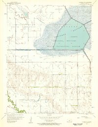
1956 · Ellinwood NW
USGS Topo · 1:24,000

1957 · Great Bend
USGS Topo · 1:250,000
1957 · Ellinwood SW
USGS Topo · 1:24,000

1958 · Great Bend
USGS Topo · 1:250,000
1959 · Great Bend NE
USGS Topo · 1:24,000
1960 · Pawnee Rock
USGS Topo · 1:24,000
1960 · Heizer
USGS Topo · 1:24,000