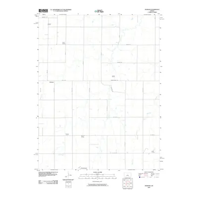
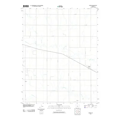
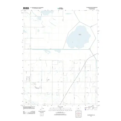
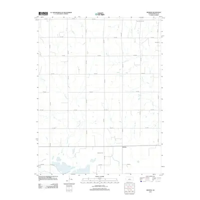
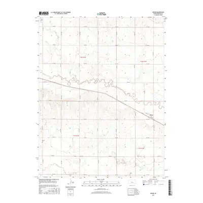
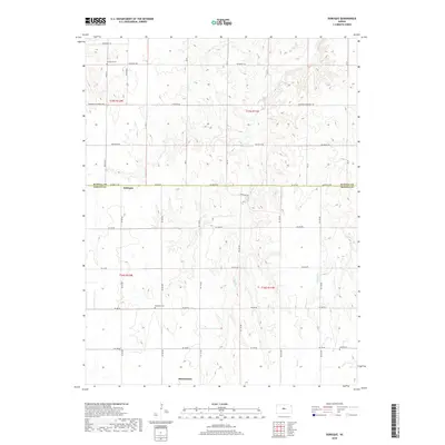
1956 Map of Ellinwood NW
USGS Topo · Published 1957About this map
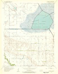
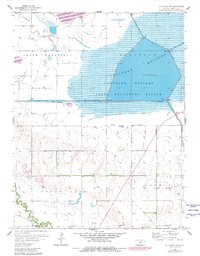
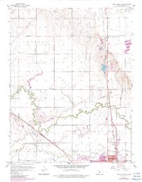
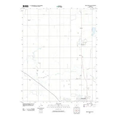
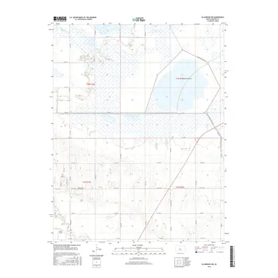
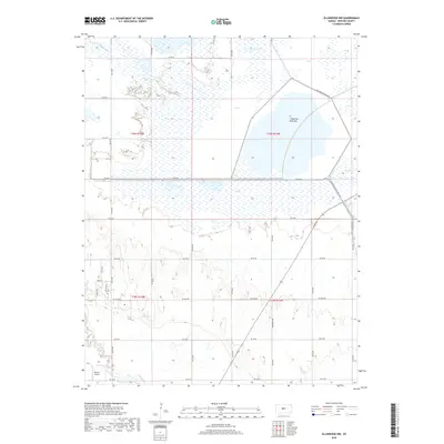
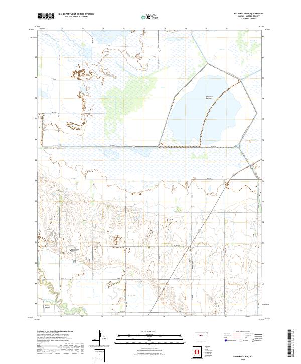
Cheyenne Bottoms dominates this portion of Barton County, appearing here as a complex marshland environment managed within the Cheyenne Bottoms State Waterfowl Refuge. The landscape is defined by human engineering designed to control the flow of water across this natural depression, including the Inlet Canal, the Outlet Canal, and a system of Floodgates and Levees. These features illustrate the mid-century efforts to stabilize a critical migratory habitat while protecting surrounding agricultural interests.
Find a feature on this map
18 named features on this map. Tap any name to fly to it.
Don’t see what you’re looking for? This feature index may not catch every label — zoom into the map to look around manually.
Map Details
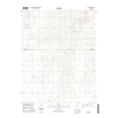
Editions of this 1956 Ellinwood NW Map
2 editions found
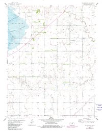
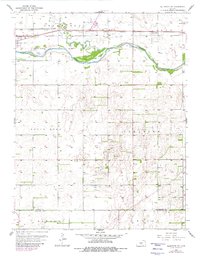
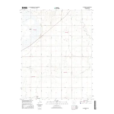
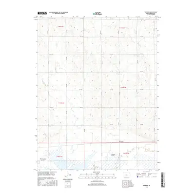
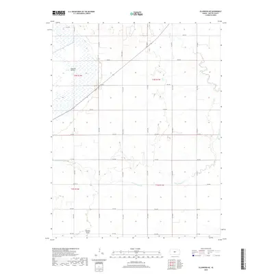
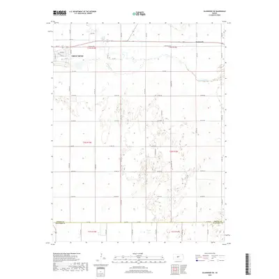
Historical Maps of Barton County Through Time
42 maps found
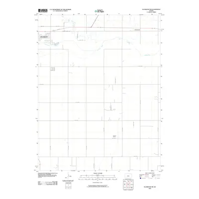
1956 Ellinwood NE
Barton County, KS
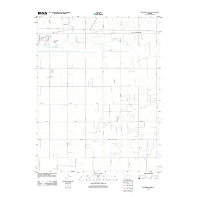
1956 Ellinwood NW
Barton County, KS
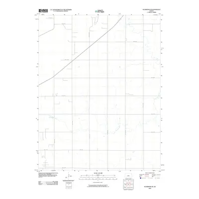
1957 Ellinwood SW
Barton County, KS
1959 Great Bend NE
Barton County, KS
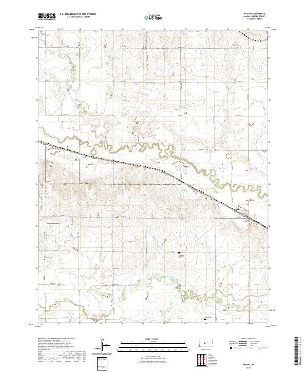
1960 Heizer
Barton County, KS
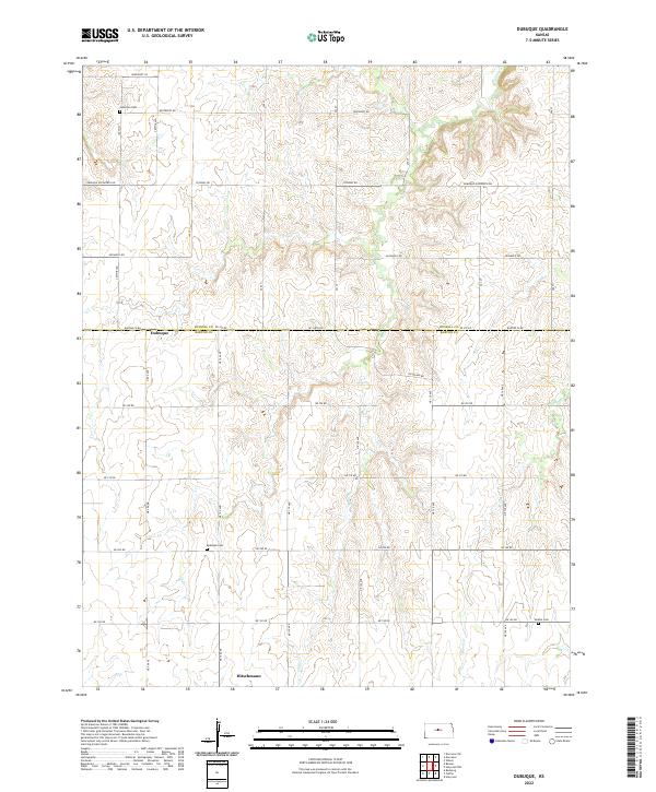
1969 Dubuque
Barton County, KS
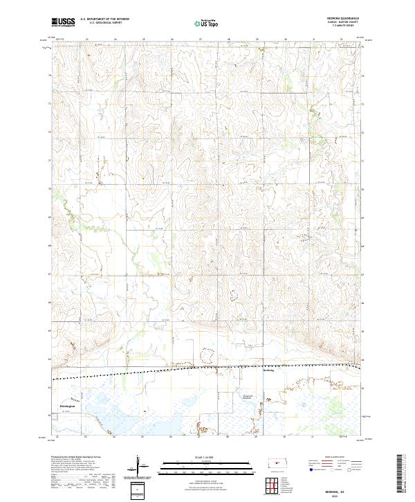
1969 Redwing
Barton County, KS
2009 Dubuque
Barton County, KS
2009 Ellinwood NE
Barton County, KS

2009 Ellinwood NW
Barton County, KS
2009 Ellinwood SW
Barton County, KS
2009 Great Bend NE
Barton County, KS
2009 Heizer
Barton County, KS
2009 Redwing
Barton County, KS
2012 Dubuque
Barton County, KS
2012 Ellinwood NE
Barton County, KS
2012 Ellinwood NW
Barton County, KS
2012 Ellinwood SW
Barton County, KS
2012 Great Bend NE
Barton County, KS
2012 Heizer
Barton County, KS
2012 Redwing
Barton County, KS
2015 Dubuque
Barton County, KS
2015 Ellinwood SW
Barton County, KS
2015 Great Bend NE
Barton County, KS
2015 Heizer
Barton County, KS
2016 Ellinwood NE
Barton County, KS
2016 Ellinwood NW
Barton County, KS
2016 Redwing
Barton County, KS
2018 Dubuque
Barton County, KS
2018 Ellinwood NE
Barton County, KS
2018 Ellinwood NW
Barton County, KS
2018 Ellinwood SW
Barton County, KS
2018 Great Bend NE
Barton County, KS
2018 Heizer
Barton County, KS
2018 Redwing
Barton County, KS
2022 Dubuque
Barton County, KS
2022 Ellinwood NE
Barton County, KS
2022 Ellinwood NW
Barton County, KS
2022 Ellinwood SW
Barton County, KS
2022 Great Bend NE
Barton County, KS
2022 Heizer
Barton County, KS
2022 Redwing
Barton County, KS