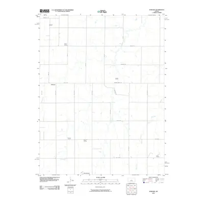
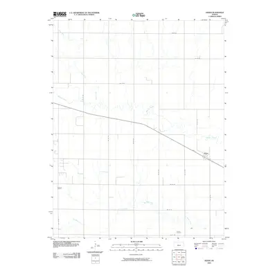
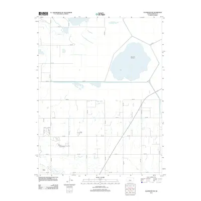
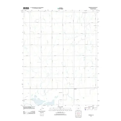
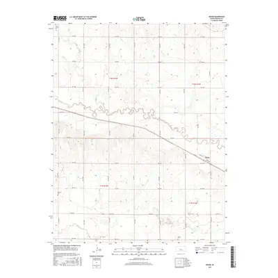
1956 Map of Ellinwood NE
USGS Topo · Published 1957About this map
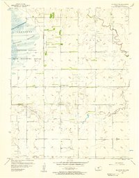
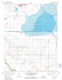
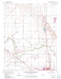
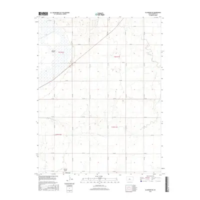
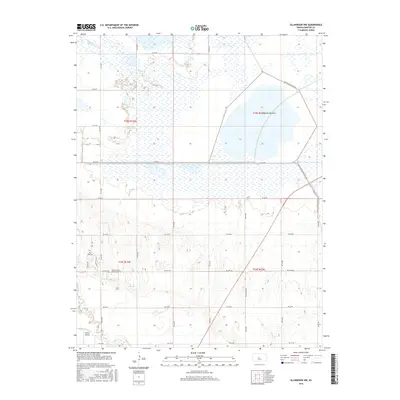
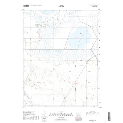
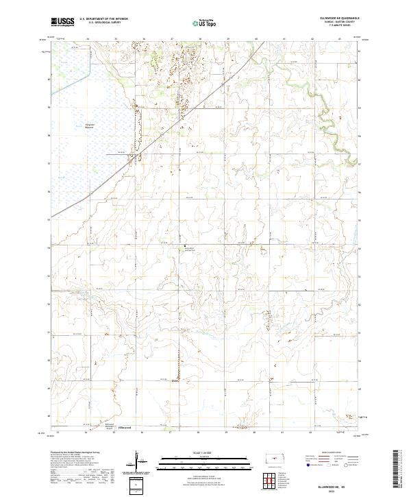
Cheyenne Bottoms State Waterfowl Refuge dominates the western portion of this mid-century survey, illustrating the managed wetlands and refuge boundaries that define this part of the Kansas landscape. The area is a study in the intersection of natural hydrology and human industry, with numerous Oil Wells and larger Oil Fields interspersed among the grazing lands of Logan and Lakin townships. This economic activity is balanced by established community markers, such as SS Peter & Paul Sch and School No 10, which serve the rural population between the winding courses of Cow Creek and Little Cheyenne Creek. The presence of the Ellinwood Airport and prominent Radio Towers near the southern edge indicates the regional infrastructure supporting the small communities just outside the refuge.
Find a feature on this map
15 named features on this map. Tap any name to fly to it.
Don’t see what you’re looking for? This feature index may not catch every label — zoom into the map to look around manually.
Map Details
Editions of this 1956 Ellinwood NE Map
2 editions found
Historical Maps of Barton County Through Time
42 maps found
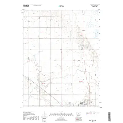
1956 Ellinwood NE
Barton County, KS
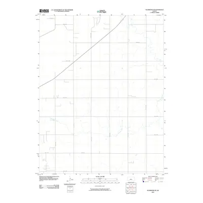
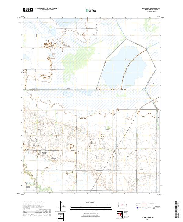
1956 Ellinwood NW
Barton County, KS
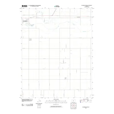
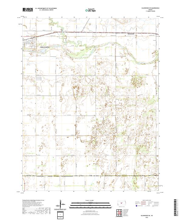
1957 Ellinwood SW
Barton County, KS
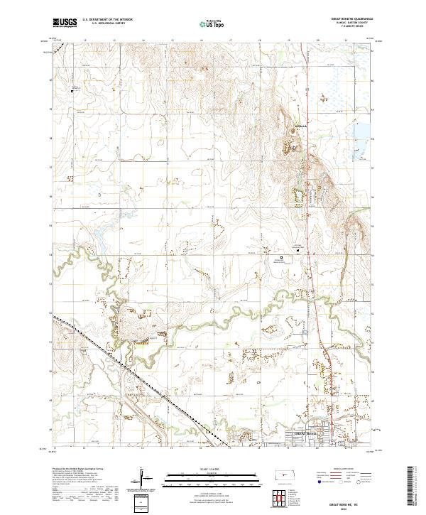
1959 Great Bend NE
Barton County, KS
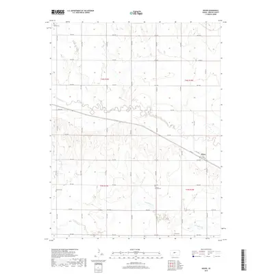
1960 Heizer
Barton County, KS
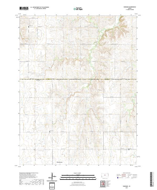
1969 Dubuque
Barton County, KS
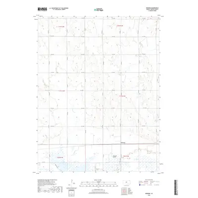
1969 Redwing
Barton County, KS
2009 Dubuque
Barton County, KS
2009 Ellinwood NE
Barton County, KS

2009 Ellinwood NW
Barton County, KS
2009 Ellinwood SW
Barton County, KS
2009 Great Bend NE
Barton County, KS
2009 Heizer
Barton County, KS
2009 Redwing
Barton County, KS
2012 Dubuque
Barton County, KS
2012 Ellinwood NE
Barton County, KS
2012 Ellinwood NW
Barton County, KS
2012 Ellinwood SW
Barton County, KS
2012 Great Bend NE
Barton County, KS
2012 Heizer
Barton County, KS
2012 Redwing
Barton County, KS
2015 Dubuque
Barton County, KS
2015 Ellinwood SW
Barton County, KS
2015 Great Bend NE
Barton County, KS
2015 Heizer
Barton County, KS
2016 Ellinwood NE
Barton County, KS
2016 Ellinwood NW
Barton County, KS
2016 Redwing
Barton County, KS
2018 Dubuque
Barton County, KS
2018 Ellinwood NE
Barton County, KS
2018 Ellinwood NW
Barton County, KS
2018 Ellinwood SW
Barton County, KS
2018 Great Bend NE
Barton County, KS
2018 Heizer
Barton County, KS
2018 Redwing
Barton County, KS
2022 Dubuque
Barton County, KS
2022 Ellinwood NE
Barton County, KS
2022 Ellinwood NW
Barton County, KS
2022 Ellinwood SW
Barton County, KS
2022 Great Bend NE
Barton County, KS
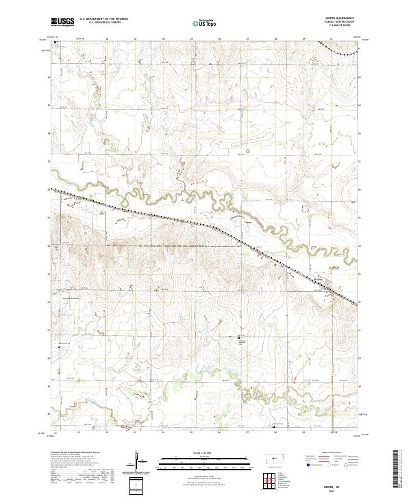
2022 Heizer
Barton County, KS
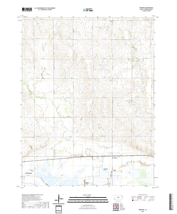
2022 Redwing
Barton County, KS