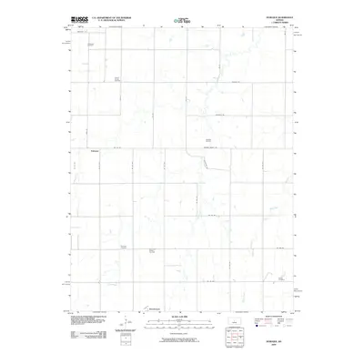
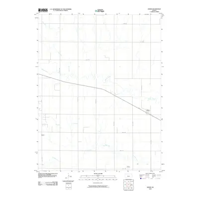
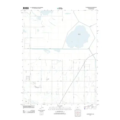
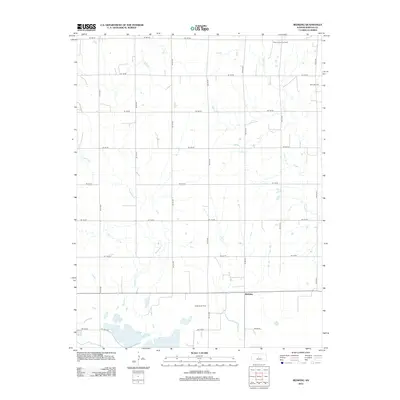
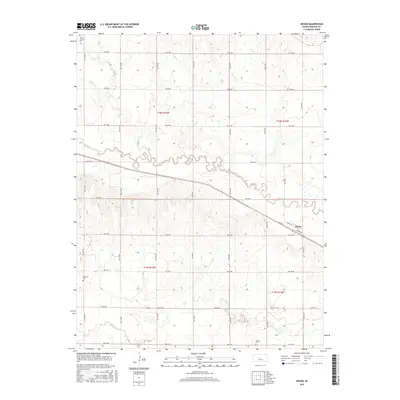
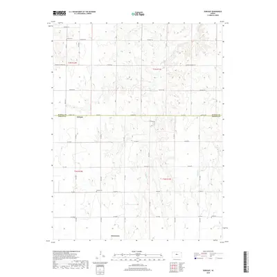
1956 Map of Ellinwood NE
USGS Topo · Published 1980About this map
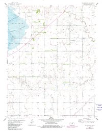
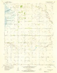
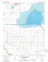
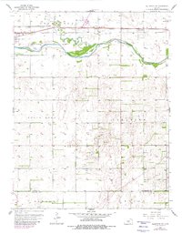
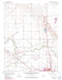
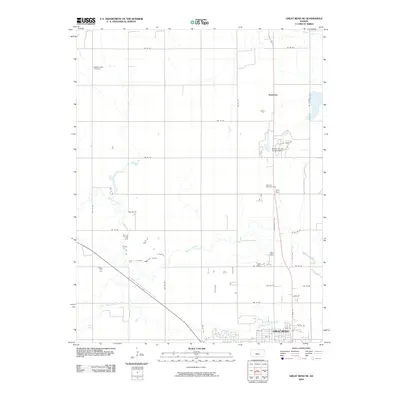
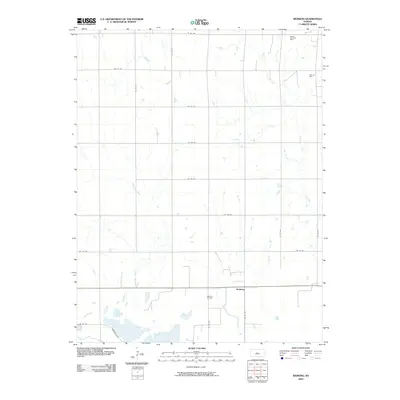
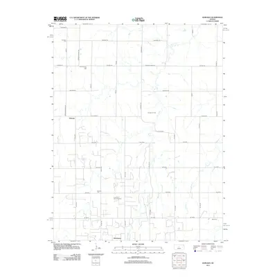
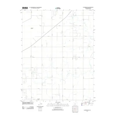
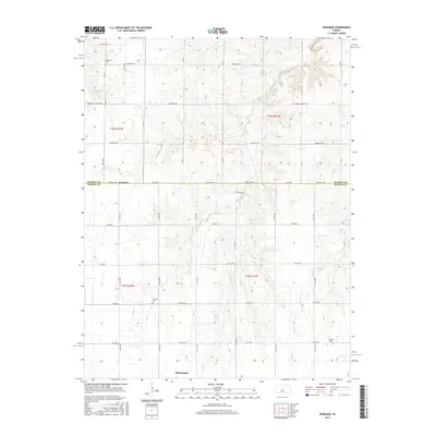
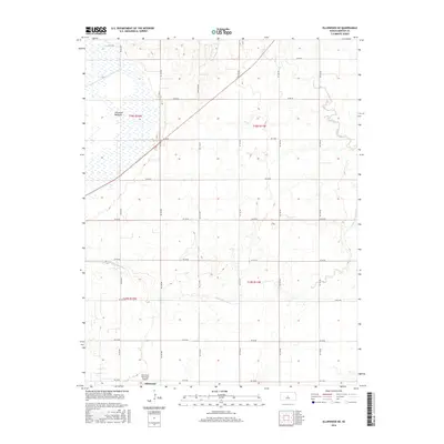
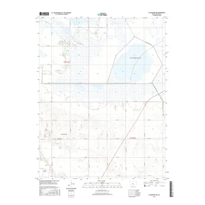
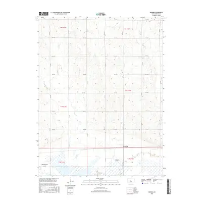
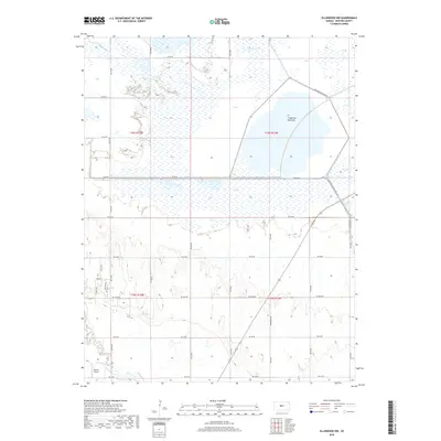
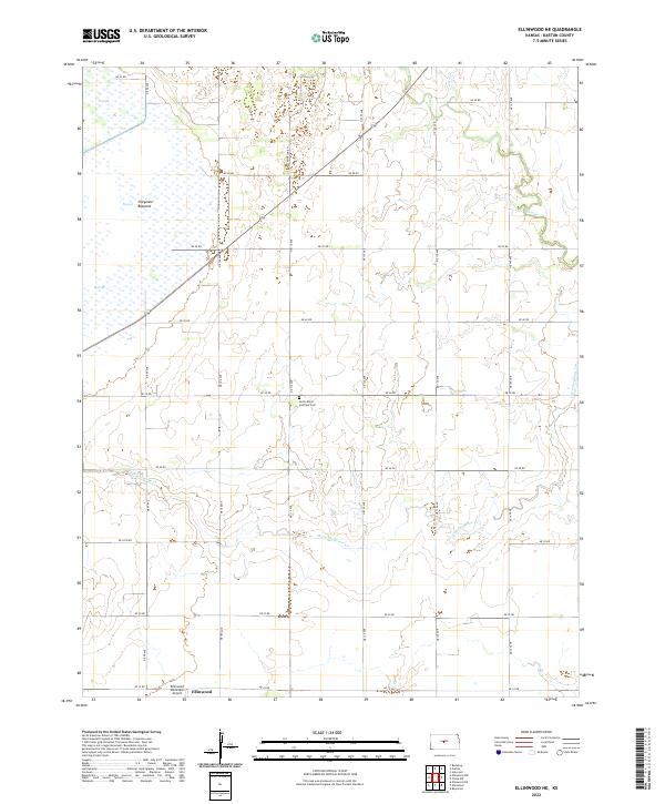
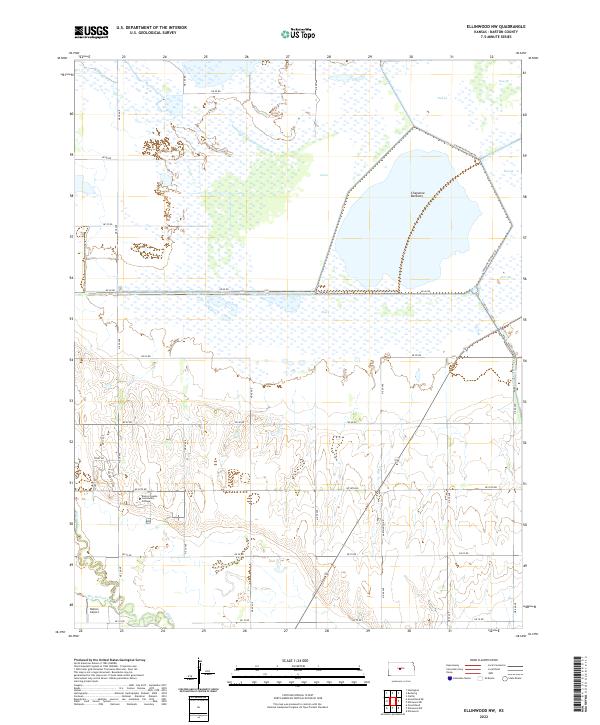
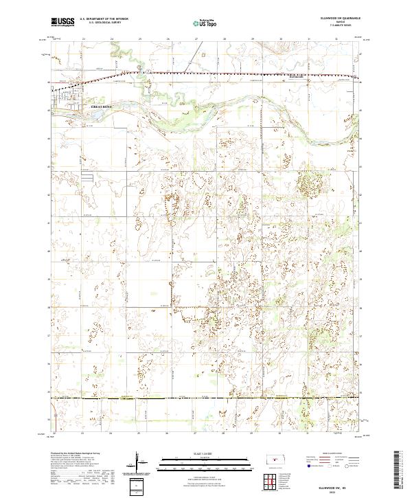
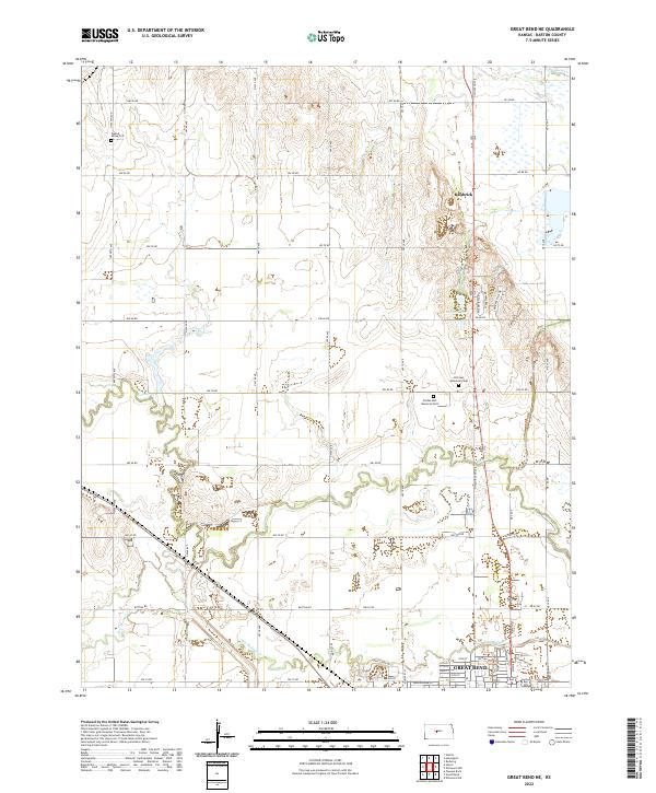
Cheyenne Bottoms dominates the western portion of this landscape, where the State Waterfowl Refuge protects a critical marsh ecosystem within the Kansas plains. This mid-century survey illustrates the rural character of Logan and Lakin townships, which are defined by a grid of agricultural section lines and an extensive network of Oil Wells and pipelines. The terrain is marked by the winding courses of Cow Creek and Little Cheyenne Creek, which cut through the open country northeast of the local aviation hub at Ellinwood Airport. Revisions from the late 1970s reveal the expansion of the energy industry and road infrastructure over time, while highlighting the enduring importance of the wetlands as a regional landmark.
Find a feature on this map
10 named features on this map. Tap any name to fly to it.
Don’t see what you’re looking for? This feature index may not catch every label — zoom into the map to look around manually.
Map Details
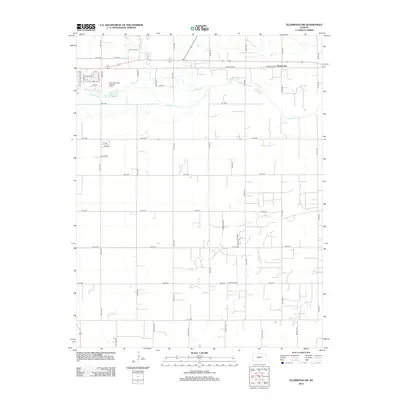
Editions of this 1956 Ellinwood NE Map
2 editions found
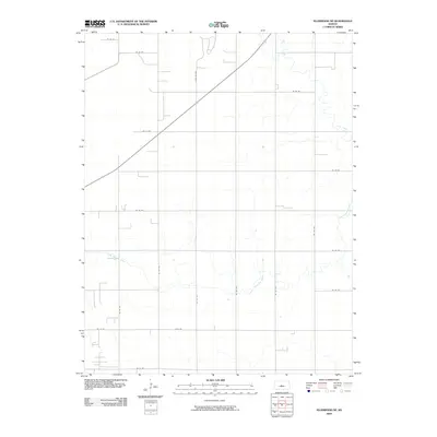
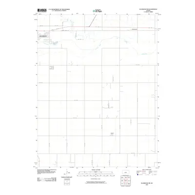
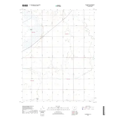
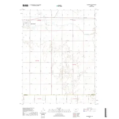
Historical Maps of Barton County Through Time
42 maps found
1956 Ellinwood NE
Barton County, KS
1956 Ellinwood NW
Barton County, KS
1957 Ellinwood SW
Barton County, KS
1959 Great Bend NE
Barton County, KS
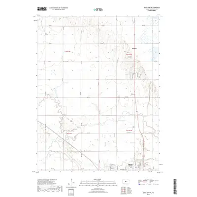
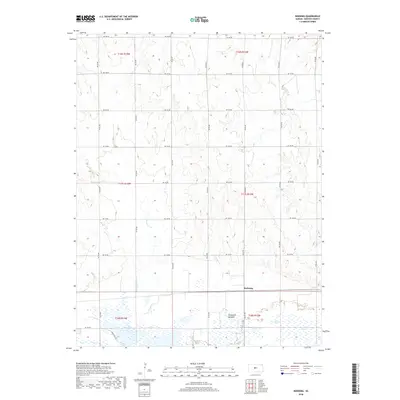
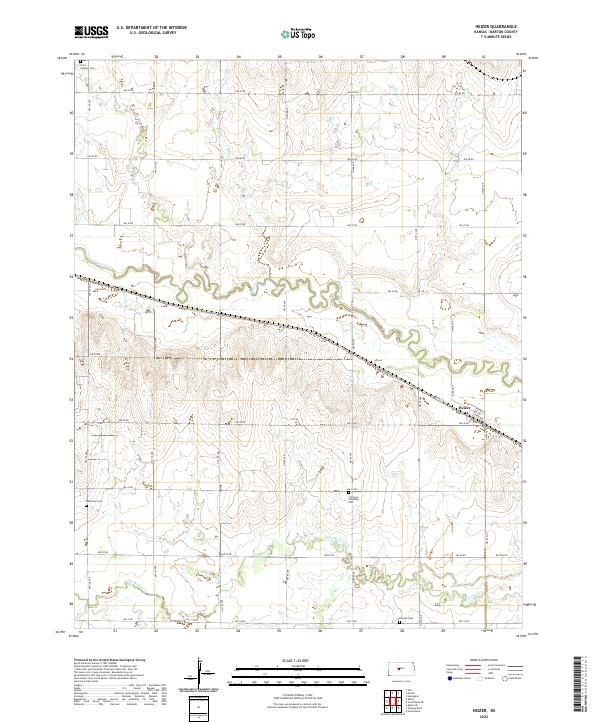
1960 Heizer
Barton County, KS
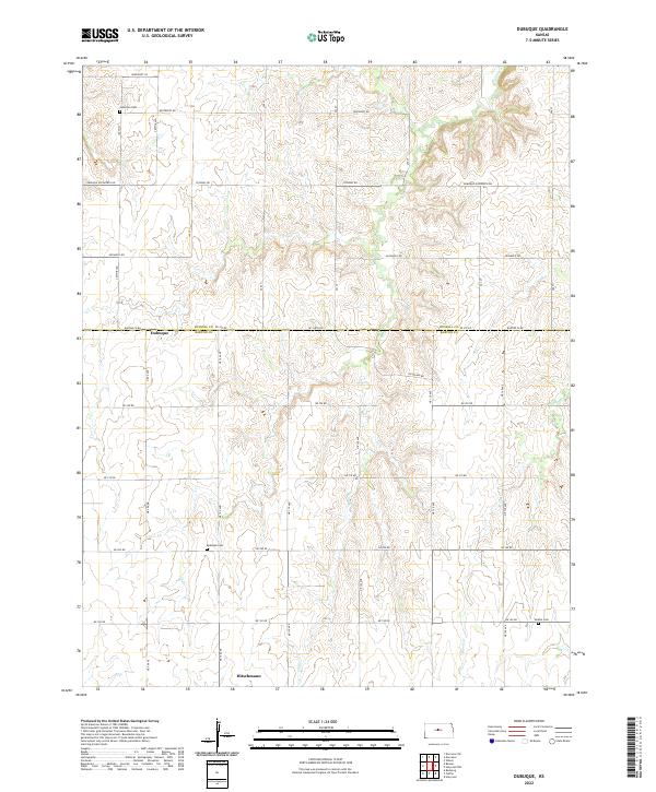
1969 Dubuque
Barton County, KS
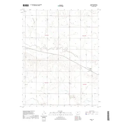
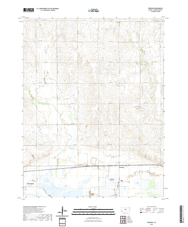
1969 Redwing
Barton County, KS
2009 Dubuque
Barton County, KS
2009 Ellinwood NE
Barton County, KS

2009 Ellinwood NW
Barton County, KS
2009 Ellinwood SW
Barton County, KS
2009 Great Bend NE
Barton County, KS
2009 Heizer
Barton County, KS
2009 Redwing
Barton County, KS
2012 Dubuque
Barton County, KS
2012 Ellinwood NE
Barton County, KS
2012 Ellinwood NW
Barton County, KS
2012 Ellinwood SW
Barton County, KS
2012 Great Bend NE
Barton County, KS
2012 Heizer
Barton County, KS
2012 Redwing
Barton County, KS
2015 Dubuque
Barton County, KS
2015 Ellinwood SW
Barton County, KS
2015 Great Bend NE
Barton County, KS
2015 Heizer
Barton County, KS
2016 Ellinwood NE
Barton County, KS
2016 Ellinwood NW
Barton County, KS
2016 Redwing
Barton County, KS
2018 Dubuque
Barton County, KS
2018 Ellinwood NE
Barton County, KS
2018 Ellinwood NW
Barton County, KS
2018 Ellinwood SW
Barton County, KS
2018 Great Bend NE
Barton County, KS
2018 Heizer
Barton County, KS
2018 Redwing
Barton County, KS
2022 Dubuque
Barton County, KS
2022 Ellinwood NE
Barton County, KS
2022 Ellinwood NW
Barton County, KS
2022 Ellinwood SW
Barton County, KS
2022 Great Bend NE
Barton County, KS
2022 Heizer
Barton County, KS
2022 Redwing
Barton County, KS