
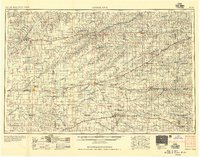
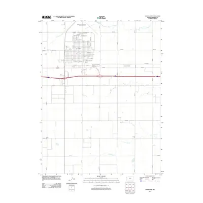
1954 Map of Goodland
USGS Topo · Published 1976About this map
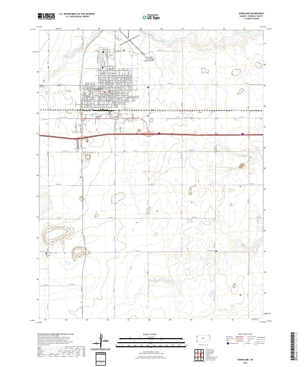
The High Plains of northwest Kansas are defined here by a dense network of river forks and agricultural settlements during the mid-20th century. Major drainage systems including the South Fork Republican River, Sappa Creek, and the North Fork Solomon River carve through the landscape, supporting communities like Atwood and St Francis. The importance of transportation to the region's economy is evident in the converging lines of the Chicago Rock Island and Pacific and the Union Pacific railroads, which linked the grain elevators of the plains to larger markets. Beyond the municipal centers of Goodland and Colby, the map captures smaller outposts such as Ludell, Selden, and Traer. These rural hubs were often established near vital water sources like Atwood Lake or recreation areas such as Oberlin-Sappa St Pk, reflecting a period when small-town rail and river proximity dictated local growth.
Find a feature on this map
112 named features on this map. Tap any name to fly to it.
Don’t see what you’re looking for? This feature index may not catch every label — zoom into the map to look around manually.
Map Details
Editions of this 1954 Goodland Map
This is the sole edition of this map. No revisions or reprints were ever made.
Historical Maps of Colby Through Time
10 maps found
1954 Goodland
Sherman County, KS

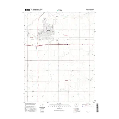
1956 Goodland
Sherman County, KS
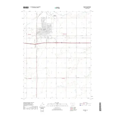
1957 Goodland
Sherman County, KS
1966 Goodland
Sherman County, KS
1985 Goodland
Sherman County, KS
2009 Goodland
Sherman County, KS
2012 Goodland
Sherman County, KS
2015 Goodland
Sherman County, KS
2018 Goodland
Sherman County, KS
2022 Goodland
Sherman County, KS