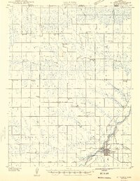
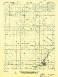
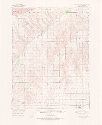
1942 Map of St. Francis
USGS Topo · Published 1943About this map
The St Francis townsite serves as the hub of this 1942 survey of northwest Kansas, situated at the junction of the Chicago Burlington and Quincy railroad and the Republican River. The landscape is defined by a dense network of country schools and churches that speak to the rural social structure of Cheyenne County during the early war years. Educational centers like German Plains Sch, Prairie Belle Sch, and Northrup Sch are evenly distributed across the township grid, while community life centered on congregations at Immanuel Ch and Hope Valley Ch. The map captures the region's hydrology, from the broad Republican River valley to the intricate drainages of Hackberry Creek and Plum Creek, illustrating how the agricultural economy adapted to the terrain of the high plains.
Find a feature on this map
43 named features on this map. Tap any name to fly to it.
Don’t see what you’re looking for? This feature index may not catch every label — zoom into the map to look around manually.
Map Details
Editions of this 1942 St. Francis Map
This is the sole edition of this map. No revisions or reprints were ever made.
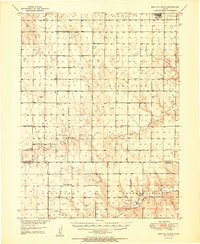
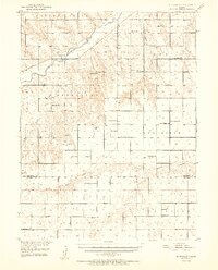
Other maps of this area
1943 · St. Francis
USGS Topo · 1:62,500
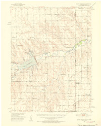
1950 · Bonny Reservoir
USGS Topo · 1:62,500
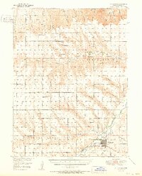
1951 · St Francis
USGS Topo · 1:62,500
1951 · Bird City North
USGS Topo · 1:62,500
1951 · Bird City South
USGS Topo · 1:62,500
1952 · St Francis 3
USGS Topo · 1:62,500

1954 · Limon
USGS Topo · 1:250,000

1954 · Sterling
USGS Topo · 1:250,000

1954 · McCook
USGS Topo · 1:250,000

1954 · Goodland
USGS Topo · 1:250,000