
1954 Map of Sterling
USGS Topo · Published 1954About this map
The South Platte River valley dictates the settlement patterns and economic lifelines of northeastern Colorado in this mid-century mapping. Irrigation infrastructure, such as the North Sterling Canal and major water bodies like Julesburg Reservoir and Prewitt Reservoir, illustrate the extensive engineering required to support agriculture across the High Plains. The landscape is punctuated by geological landmarks like the Pawnee Buttes and Marks Butte, providing a rugged contrast to the flat expanses of Jones Flat.
Find a feature on this map
64 named features on this map. Tap any name to fly to it.
Don’t see what you’re looking for? This feature index may not catch every label — zoom into the map to look around manually.
Map Details
Editions of this 1954 Sterling Map
3 editions found
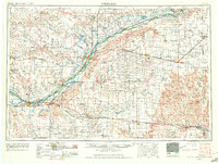
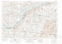
Other maps of this area

1897 · Ogallala
USGS Topo · 1:125,000

1899 · Sidney
USGS Topo · 1:125,000

1900 · Chappell
USGS Topo · 1:125,000

1900 · Ogallala
USGS Topo · 1:125,000

1942 · St. Francis
USGS Topo · 1:62,500

1943 · St. Francis
USGS Topo · 1:62,500

1950 · Wiggins
USGS Topo · 1:24,000

1950 · Hoyt
USGS Topo · 1:24,000

1951 · St Francis
USGS Topo · 1:62,500

1951 · Hoyt
USGS Topo · 1:24,000