Old Maps of Fort Morgan, Colorado
Explore 16 old maps of Fort Morgan, spanning from 1951 to today. These high-resolution historic maps reveal how streets, neighborhoods, landmarks, and natural features evolved over time — perfect for genealogy, metal detecting, research, and local history exploration.
What you can do with these maps:
- See how Fort Morgan changed over time: Compare historical maps to modern-day views to trace roads, homesites, rail lines & more.
- View detailed metadata: Each map includes creators, publishers, year, scale, and archive source.
- Overlay maps with satellite & LiDAR: Visualize the past alongside modern tools to explore terrain & human change.
- Trusted historical sources: Maps sourced from the USGS, Library of Congress, and other archives.
- Access maps your way: View online, download high-res files, or order prints for personal or research use.
Start exploring old maps of Fort Morgan to uncover forgotten places, hidden landmarks, and the deep history beneath your feet.
Fort Morgan, CO maps
(16)- 1951 Map of Fort Morgan, 1953 Print
 1951 Fort Morgan1953 Print · USGSFort Morgan thrives as a riverfront industrial center in the early fifties, anchored by its sugar beet industry and the railroad. Genealogists and local historians can trace the foundations of the community through Riverside Cem, Baker Sch, and the Sugar Refinery.4 unique versions available
 - 1954 Map of Sterling
 1954 Sterling1954 Print · USGSNortheastern Colorado and the Nebraska borderlands are defined by the river-and-rail corridors of the mid-twentieth century. Researchers can trace the development of agricultural hubs from Sterling and Fort Morgan to smaller rail stops along the Union Pacific and Burlington Northern lines.3 unique versions available
 - 1958 Map of Sterling
 1958 Sterling1958 Print · USGSNortheastern Colorado thrived along the river and rail corridors during the late fifties. Genealogists and historians can trace family-named irrigation works like Davis Brothers Ditch and agricultural hubs from Peetz to Fort Morgan.
 - 1963 Map of Lamb, 1965 Print
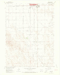 1963 Lamb1965 Print · USGSFort Morgan and the surrounding plains are captured in the early sixties as a center of oil production and irrigation. Researchers can trace the extensive Fort Morgan Oil Field, the route of the Old Old Road, and the siding at Moseley.3 unique versions available
 - 1971 Map of Fort Morgan, 1984 Print
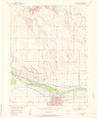
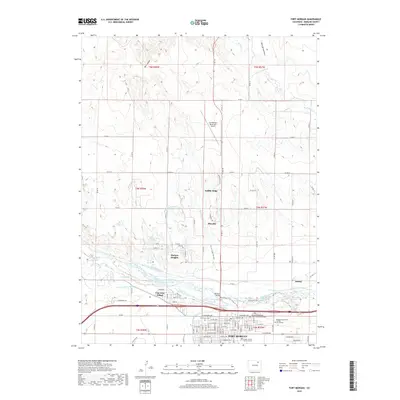
 1971 Fort Morgan1984 Print · USGSFort Morgan and the South Platte River valley are captured in the early seventies, showcasing a regional hub defined by irrigation and industry. Local historians can trace the Sugar Refinery and Union Pacific rail lines or locate family names at Riverside Cem.
 - 1980 Map of Fort Morgan
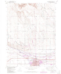
 1980 Fort Morgan1980 Print · USGSNortheastern Colorado’s agricultural heartland is documented here in the early eighties, centered on the South Platte River corridor. Researchers can trace the progress of the Union Pacific and Burlington Northern railroads through ranching hubs like Brush, Akron, and Hillrose.
 - 2010 Map of Fort Morgan, 2010 Print
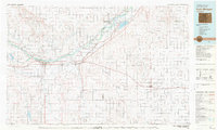
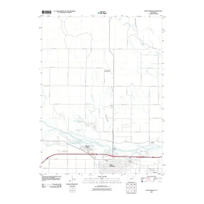 2010 Fort Morgan2010 Print · USGSCovers Fort Morgan, including Log Lane Village, Morgan Heights, and other nearby areas
 - 2010 Map of Lamb, 2010 Print
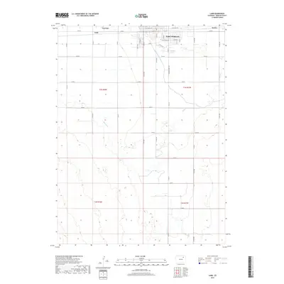
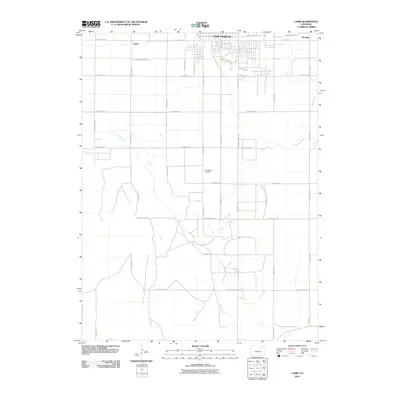 2010 Lamb2010 Print · USGSCovers Fort Morgan, including Trail Side, Lamb, and other nearby areas
 - 2013 Map of Fort Morgan, 2013 Print
 2013 Fort Morgan2013 Print · USGSCovers Fort Morgan, including Log Lane Village, Morgan Heights, and other nearby areas
 - 2013 Map of Lamb, 2013 Print
 2013 Lamb2013 Print · USGSCovers Fort Morgan, including Trail Side, Lamb, and other nearby areas
 - 2016 Map of Fort Morgan, 2016 Print
 2016 Fort Morgan2016 Print · USGSCovers Fort Morgan, including Log Lane Village, Morgan Heights, and other nearby areas
 - 2016 Map of Lamb, 2016 Print
 2016 Lamb2016 Print · USGSCovers Fort Morgan, including Trail Side, Lamb, and other nearby areas
 - 2019 Map of Lamb, 2019 Print
 2019 Lamb2019 Print · USGSCovers Fort Morgan, including Trail Side, Lamb, and other nearby areas
 - 2019 Map of Fort Morgan, 2019 Print
 2019 Fort Morgan2019 Print · USGSCovers Fort Morgan, including Log Lane Village, Morgan Heights, and other nearby areas
 - 2022 Map of Lamb, 2022 Print
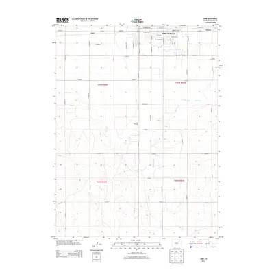
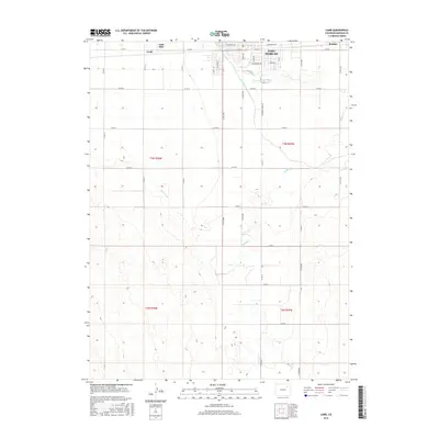
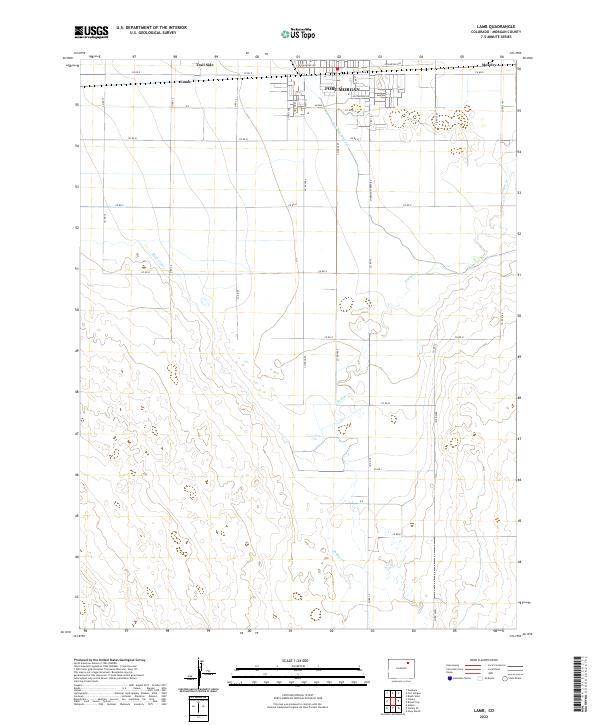 2022 Lamb2022 Print · USGSThe southern reaches of Fort Morgan and the surrounding High Plains ranch lands are captured here in the early twenty-first century. Genealogists and local historians can trace the irrigation networks of the Fort Morgan Canal and Bijou Canal past rural locales like Lamb and Trail Side.
 - 2022 Map of Fort Morgan, 2022 Print
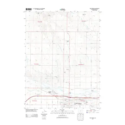
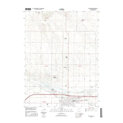
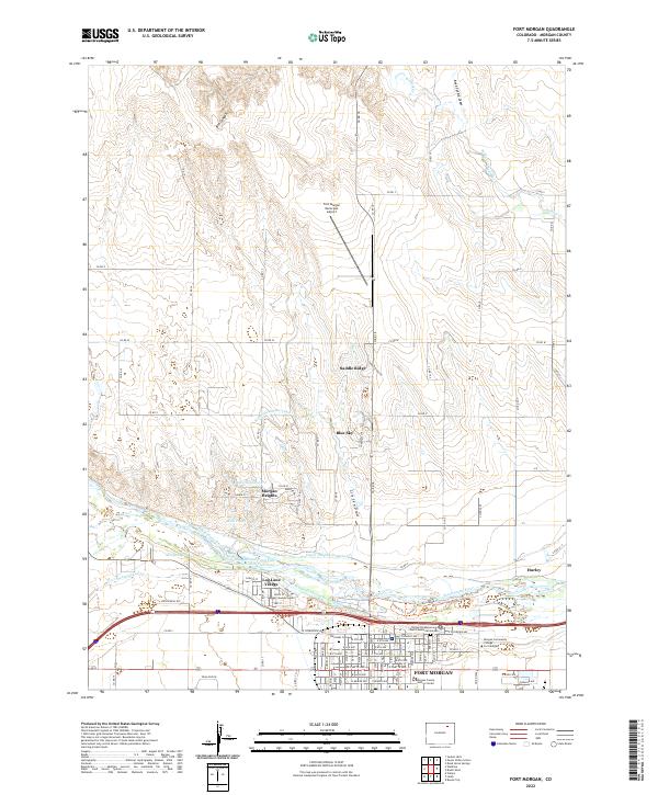 2022 Fort Morgan2022 Print · USGSThe river valley and high plains of Morgan County come into focus during this contemporary era. Genealogists and researchers can trace local landmarks like Riverside Cem, Log Lane Village, and the United Presbyterian Church Memorial Garden.
End of results
Showing maps 1-16 of 16
Top cities near Fort Morgan
- Brush historical maps
- Log Lane Village historical maps
- Morgan Heights historical maps
- Trail Side historical maps
- Weldona historical maps
- Saddle Ridge historical maps
See more
Frequently asked questions
- What are the different types of historical maps available for Fort Morgan?
- What is the oldest map of Fort Morgan?
- Where can I purchase historical maps of Fort Morgan for my home or office?
- Where can I download high-res historical maps of Fort Morgan?
- Are there historical topographic maps available for Fort Morgan?
- Is there historical aerial imagery available for Fort Morgan?
- Where are historical maps of Fort Morgan sourced from?