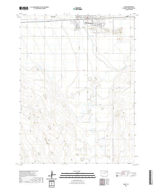
2022 Map of Lamb
USGS Topo · Published 2022About this map
The southern outskirts of Fort Morgan transition into a landscape shaped by irrigation and water management in this modern survey of Morgan County. The northern edge of the map features the established street grid of the city, including W Railroad Ave and E Railroad Ave, while the rural areas to the south are defined by the critical paths of the Fort Morgan Canal and Bijou Canal. These waterways underscore the importance of agriculture in the high plains, providing the infrastructure necessary for the settlements of Lamb and Trail Side.
Find a feature on this map
40 named features on this map. Tap any name to fly to it.
Don’t see what you’re looking for? This feature index may not catch every label — zoom into the map to look around manually.
Map Details
Editions of this 2022 Lamb Map
This is the sole edition of this map. No revisions or reprints were ever made.
Other maps of this area

1951 · Weldona
USGS Topo · 1:24,000

1951 · Brush West
USGS Topo · 1:24,000

1951 · Fort Morgan
USGS Topo · 1:24,000

1954 · Sterling
USGS Topo · 1:250,000

1958 · Sterling
USGS Topo · 1:250,000

1963 · Lamb
USGS Topo · 1:24,000

1963 · Round Top
USGS Topo · 1:24,000

1963 · Vallery
USGS Topo · 1:24,000

1963 · Adena
USGS Topo · 1:24,000

1965 · Vallery SE
USGS Topo · 1:24,000