
1965 Map of Vallery SE
USGS Topo · Published 1967About this map
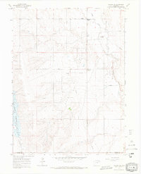
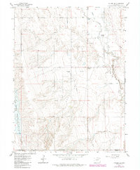
Adena Field and its industrial infrastructure dominate the High Plains landscape of eastern Colorado in the mid-1960s. The region is defined by a network of energy development and agricultural transit, featuring a prominent Gasoline Plant, several pipelines, and clustered storage facilities. This map documents a transition in rural settlement, where traditional gathering points like the Adena Sch and Adena Station sit alongside named intersections such as Ninemile Corner and Twelvemile Corner.
Find a feature on this map
17 named features on this map. Tap any name to fly to it.
Don’t see what you’re looking for? This feature index may not catch every label — zoom into the map to look around manually.
Map Details
Editions of this 1965 Vallery SE Map
3 editions found
Other maps of this area

1954 · Limon
USGS Topo · 1:250,000

1954 · Sterling
USGS Topo · 1:250,000

1957 · Limon
USGS Topo · 1:250,000

1958 · Limon
USGS Topo · 1:250,000

1958 · Sterling
USGS Topo · 1:250,000

1963 · Lamb
USGS Topo · 1:24,000

1963 · Round Top
USGS Topo · 1:24,000

1963 · Vallery
USGS Topo · 1:24,000

1963 · Adena
USGS Topo · 1:24,000

1965 · Huey Ranch
USGS Topo · 1:24,000