
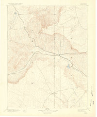
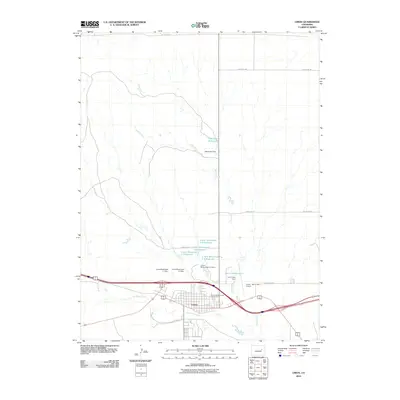
1957 Map of Limon
USGS Topo · Published 1957About this map
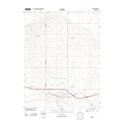
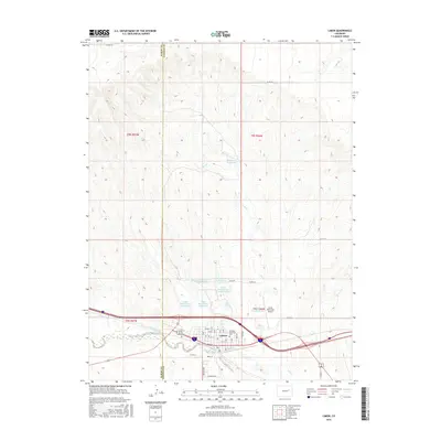
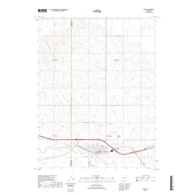
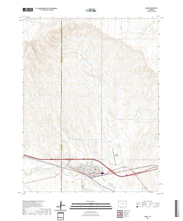
Limon serves as a major transportation hub where the Union Pacific and Chicago Rock Island and Pacific railroads intersect with several primary highways. In the mid-1950s, this portion of the High Plains shows a landscape defined by expansive Sand Hills and a network of river systems including the Arikaree River, Big Sandy Creek, and the South Fork Republican River. The settlement pattern follows the rail lines closely, connecting agricultural towns like Genoa, Arriba, and Burlington. To the northeast, the creation of Bonny Reservoir stands out against the rolling terrain, providing a rare substantial body of water in this semi-arid region. Small, isolated communities such as Last Chance and Harrisburg dot the north, while the Colorado-Kansas border is marked by the split town of Kanorado. The map captures an era of post-war agricultural stability, with grain elevators such as the one at Seibert acting as critical landmarks for the regional economy.
Find a feature on this map
59 named features on this map. Tap any name to fly to it.
Don’t see what you’re looking for? This feature index may not catch every label — zoom into the map to look around manually.
Map Details
Editions of this 1957 Limon Map
This is the sole edition of this map. No revisions or reprints were ever made.
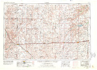
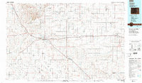
Historical Maps of Burlington Through Time
12 maps found

1891 Limon
Lincoln County, CO
1892 Limon
Lincoln County, CO
1954 Limon
Lincoln County, CO
1957 Limon
Lincoln County, CO

1958 Limon
Lincoln County, CO
1970 Limon
Lincoln County, CO
1984 Limon
Lincoln County, CO
2010 Limon
Lincoln County, CO
2013 Limon
Lincoln County, CO
2016 Limon
Lincoln County, CO
2019 Limon
Lincoln County, CO
2022 Limon
Lincoln County, CO