1891 Map of Kit Carson
USGS Topo · Published 1891About this map
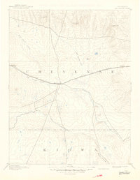
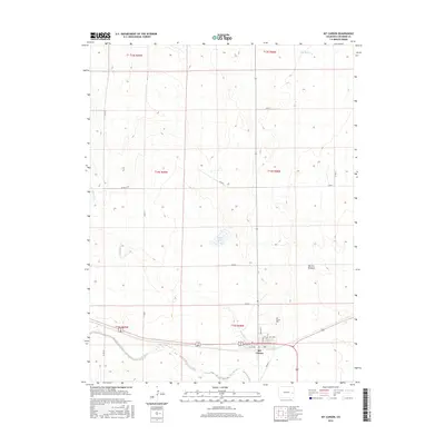
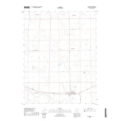
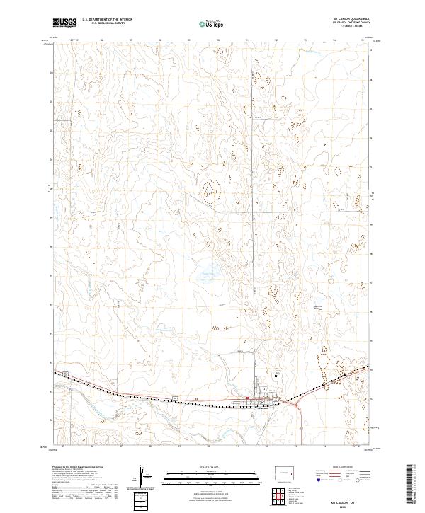
Kit Carson serves as the central hub on this 1891 survey, situated at the junction where the Union Pacific Railroad meets the confluence of western prairie drainage systems. The settlement patterns of eastern Colorado are clearly defined by the path of the rail line, which connects the small stations of Wild Horse and First View across the high plains. The landscape is dominated by the sprawling basins of Big Sandy Creek and Rush Creek, punctuated by isolated landmarks such as Eureka Hill, Twin Buttes, and Landsman Hill. This map reflects the transition from open range to a rail-dependent frontier economy, capturing the early geography of Cheyenne and Kiowa counties before more intensive development altered the rural landscape.
Find a feature on this map
13 named features on this map. Tap any name to fly to it.
Don’t see what you’re looking for? This feature index may not catch every label — zoom into the map to look around manually.
Map Details
Editions of this 1891 Kit Carson Map
This is the sole edition of this map. No revisions or reprints were ever made.
Historical Maps of Kit Carson Through Time
8 maps found