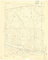
1890 Map of Granada
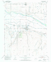
USGS Topo · Published 1962About this map
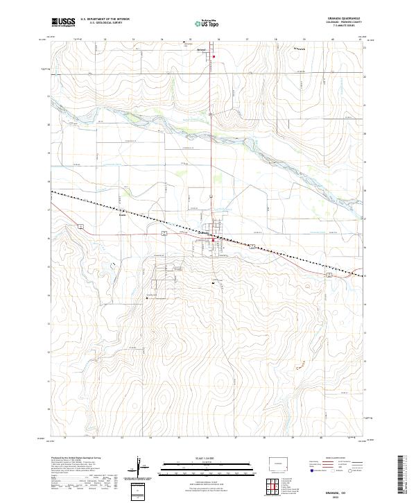
The Arkansas River corridor serves as the primary artery of travel and settlement in this late nineteenth-century landscape. Following the river's path, the Atchison Topeka & Santa Fe Railroad connects a series of stations and small outposts including Granada, Carlton, and Hollys. This rail-and-river network represents the southern economic belt of the region, while the northern section is defined by the Missouri Pacific Railroad which passes through Sheridan Lake and Towner. In the vast open spaces between these two rail lines, topographic details reveal the significance of local water sources like Big Sandy Creek and Buffalo Creek. The presence of established sites like Ellis Ranch and Watsons Ranch illustrates the transition from open range to documented land ownership along the border of Prowers and Kiowa counties near the Colorado Kansas Boundary Line.
Find a feature on this map
31 named features on this map. Tap any name to fly to it.
Don’t see what you’re looking for? This feature index may not catch every label — zoom into the map to look around manually.
Map Details
Editions of this 1890 Granada Map
This is the sole edition of this map. No revisions or reprints were ever made.
Historical Maps of Holly Through Time
9 maps found