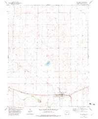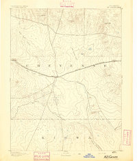
1893 Map of Kit Carson
USGS Topo · Published 1893About this map
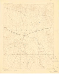
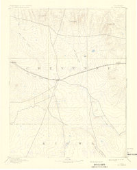
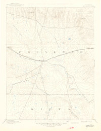
Kit Carson serves as the central hub of this 1890s survey, where the heavy line of the Union Pacific Railroad intersects the winding path of Big Sandy Creek. This high plains landscape in eastern Colorado is defined by its vital watercourses and the infrastructure of the rail era, showing the early footprints of Wild Horse and First View along the tracks. The terrain transitions from the drainage of Rush Creek in the south to prominent high points like Eureka Hill, Twin Buttes, and Landsman Hill in the north. The map clearly delineates the boundary between Cheyenne and Kiowa counties, illustrating how early settlement and transit were dictated by the availability of water at Wild Horse Creek and Big Spring Creek within the arid environment.
Find a feature on this map
13 named features on this map. Tap any name to fly to it.
Don’t see what you’re looking for? This feature index may not catch every label — zoom into the map to look around manually.
Map Details
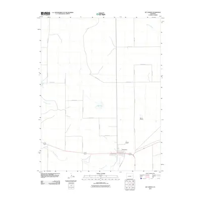
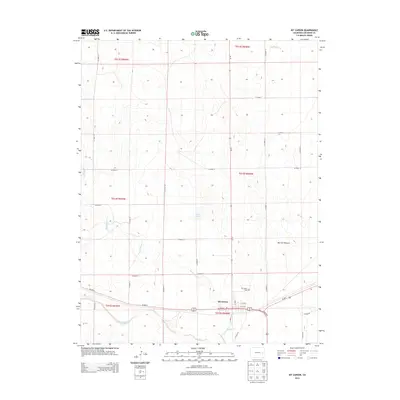
Editions of this 1893 Kit Carson Map
5 editions found
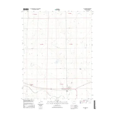
Historical Maps of Kit Carson Through Time
8 maps found