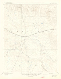
1893 Map of Kit Carson
USGS Topo · Published 1949About this map
Kit Carson stands at the heart of this high plains landscape, surveyed in the 1890s just as the rail-driven expansion was solidifying the region's geography. The town serves as a central hub where the Union Pacific Railroad intersects with several major drainage systems, including Big Sandy Creek and Rush Creek. This late 19th-century survey documents a transition from open range to a more structured network of rail stations and early ranching settlements. To the north and east, prominent topographical landmarks like Twin Buttes, Landsman Hill, and Eureka Hill rise above the flats, providing essential navigational points for travelers. Along the rail line, smaller stops such as Wild Horse and First View mark the deliberate intervals of the steam era, tracing a path across the Cheyenne and Kiowa county border lands.
Find a feature on this map
13 named features on this map. Tap any name to fly to it.
Don’t see what you’re looking for? This feature index may not catch every label — zoom into the map to look around manually.
Map Details
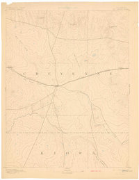
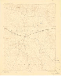
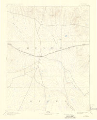
Editions of this 1893 Kit Carson Map
5 editions found
Other maps of this area

1890 · Granada
USGS Topo · 1:125,000

1891 · Arroyo
USGS Topo · 1:125,000

1891 · Kit Carson
USGS Topo · 1:125,000

1891 · Las Animas
USGS Topo · 1:125,000

1892 · Lamar
USGS Topo · 1:125,000

1892 · Cheyenne Wells
USGS Topo · 1:125,000

1892 · Granada
USGS Topo · 1:125,000

1893 · Arroyo
USGS Topo · 1:125,000

1893 · Kit Carson
USGS Topo · 1:125,000

1893 · Las Animas
USGS Topo · 1:125,000