
Loading...
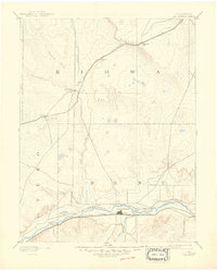
Loading map...1891 Map of Las Animas
USGS Topo · Published 1891About this map
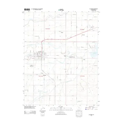
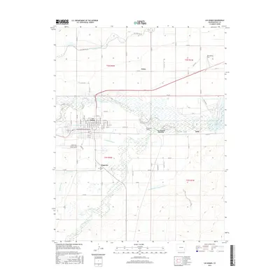
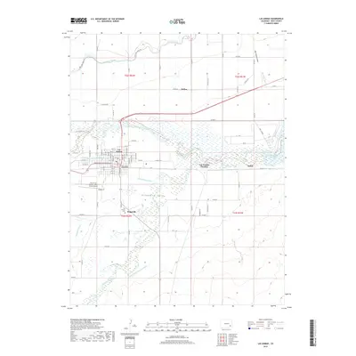
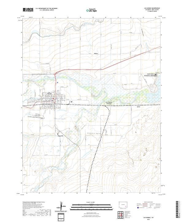
Las Animas serves as the focal point of this late 19th-century landscape where the Purgatoire River meets the Arkansas River. The map illustrates a pivotal era for Southeast Colorado, documenting the early corridor of the Atchison Topeka and Santa Fe Railroad as it follows the river valley through Bent and Otero counties. To the north, the Missouri Pacific Railroad cuts across the high plains, connecting smaller stops like Inman, Haswell, and Galatea.
Find a feature on this map
20 named features on this map. Tap any name to fly to it.
Don’t see what you’re looking for? This feature index may not catch every label — zoom into the map to look around manually.
Map Details
Date Portrayed1891
Date Published1891
PublisherU.S. Geological Survey
Map TypeTopographic
Scale1:125,000
Physical Dimensions16.5 x 20.2 inches
Editions of this 1891 Las Animas Map
This is the sole edition of this map. No revisions or reprints were ever made.
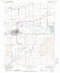
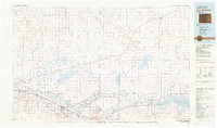
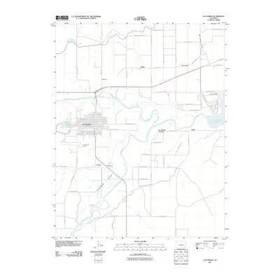
Historical Maps of Las Animas Through Time
9 maps found
Featured Locations
Source Details
SourceU.S. Geological Survey
CopyrightPublic Domain