
1892 Map of Lamar
USGS Topo · Published 1892About this map
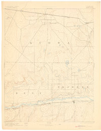
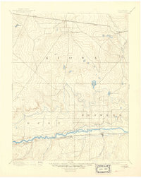
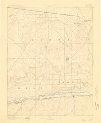
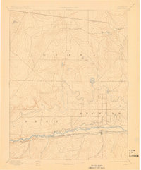
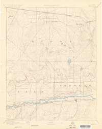
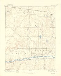
Lamar serves as a focal point in this 1892 documentation of Southeastern Colorado, situated along the Atchison Topeka and Santa Fe Railroad and the winding banks of the Arkansas River. The map illustrates a landscape undergoing transition as early irrigation efforts take shape via the Arkansas Valley Canal and the Colorado and Kansas Canal. To the north, the Missouri Pacific Railroad cuts a straight path through Kiowa County, connecting small stations like Eads and Chivington.
Find a feature on this map
27 named features on this map. Tap any name to fly to it.
Don’t see what you’re looking for? This feature index may not catch every label — zoom into the map to look around manually.
Map Details
Editions of this 1892 Lamar Map
7 editions found
Other maps of this area

1890 · Granada
USGS Topo · 1:125,000

1891 · Arroyo
USGS Topo · 1:125,000

1891 · Albany
USGS Topo · 1:125,000

1891 · Kit Carson
USGS Topo · 1:125,000

1891 · Higbee
USGS Topo · 1:125,000

1891 · Las Animas
USGS Topo · 1:125,000

1892 · Cheyenne Wells
USGS Topo · 1:125,000

1892 · Granada
USGS Topo · 1:125,000

1892 · Two Butte
USGS Topo · 1:125,000

1893 · Arroyo
USGS Topo · 1:125,000