
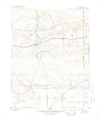
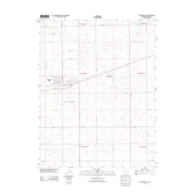
1892 Map of Cheyenne Wells
USGS Topo · Published 1892About this map
Cheyenne Wells serves as a central hub on the High Plains, situated at a critical junction of early commerce and transportation. This late 19th-century landscape is defined by the Union Pacific Railroad, which cuts a straight line through Cheyenne County, passing through the small station at Arapahoe. The map illustrates a network of wagon roads and tracks radiating from the railway, connecting isolated outposts like Water Valley to the iron rail.
Find a feature on this map
14 named features on this map. Tap any name to fly to it.
Don’t see what you’re looking for? This feature index may not catch every label — zoom into the map to look around manually.
Map Details
Editions of this 1892 Cheyenne Wells Map
This is the sole edition of this map. No revisions or reprints were ever made.
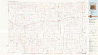
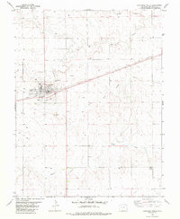
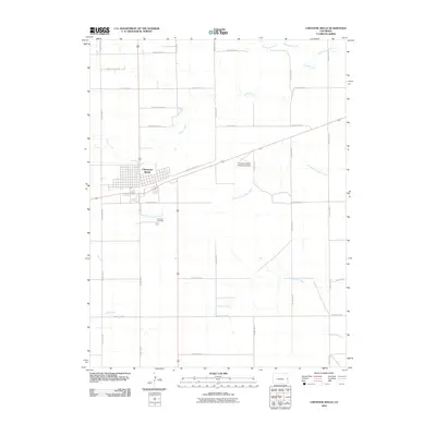
Historical Maps of Cheyenne Wells Through Time
9 maps found
1892 Cheyenne Wells
Cheyenne County, CO
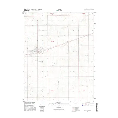
1894 Cheyenne Wells
Cheyenne County, CO
1981 Cheyenne Wells
Cheyenne County, CO
1982 Cheyenne Wells
Cheyenne County, CO
2010 Cheyenne Wells
Cheyenne County, CO
2013 Cheyenne Wells
Cheyenne County, CO
2016 Cheyenne Wells
Cheyenne County, CO
2019 Cheyenne Wells
Cheyenne County, CO
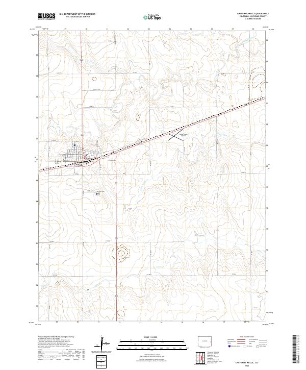
2022 Cheyenne Wells
Cheyenne County, CO