
Historical Maps of Colorado
What stories do these 8,091 old maps tell about Colorado's past? From 1885 to present day, these maps reveal the evolution of streets, neighborhoods, iconic landmarks, and natural features in stunning high-res detail. Whether you're a history enthusiast, genealogist, or professional in education, environmental work, or architecture, these maps are perfect for exploration, research, and discovery.
Discover Colorado's history through maps:
- Trace Colorado's growth: Explore earlier and latest maps and editions to uncover how the region changed over time.
- Examine technical details: Each map includes its creators, publishers, scale, dimensions, and full source information.
- Layer maps with modern tools & imagery: Compare historical maps to modern-day with high-resolution satellite imagery and detailed LiDAR layers.
- Sourced from trusted archives: Carefully preserved and digitized by institutions like the United Stated Geological Survey and the US Library of Congress.
- Access in any format: View and explore in high resolution, download for offline use, or order a museum-quality print for yourself or a loved one.
Begin your journey into Colorado's history with these remarkable must-see maps.
Colorado maps
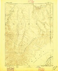
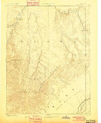
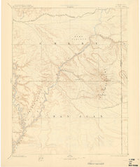
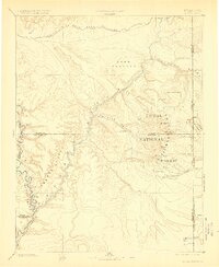
(8,091)- 1885 Map of East Tavaputs
 1885 East Tavaputs1885 Print · USGSCovers Colorado, including Dragon, Westwater, and other nearby areas
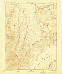
 - 1885 Map of La Sal
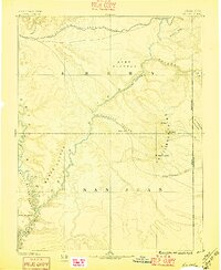
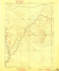
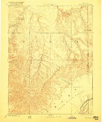
 1885 La Sal1885 Print · USGSCovers Colorado, including Moab, Castle Valley, and other nearby areas
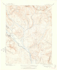
 - 1885 Map of Ashley
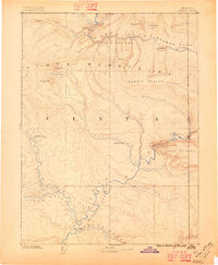
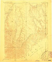
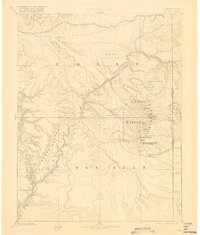
 1885 Ashley1885 Print · USGSCovers Colorado, including Vernal, Roosevelt, and other nearby areas
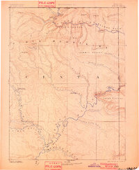
 - 1885 Map of East Tavaputs, 1896 Print
 1885 East Tavaputs1896 Print · USGSCovers Colorado, including Dragon, Westwater, and other nearby areas
 - 1885 Map of La Sal, 1896 Print
 1885 La Sal1896 Print · USGSCovers Colorado, including Moab, Castle Valley, and other nearby areas
 - 1885 Map of Ashley, 1896 Print
 1885 Ashley1896 Print · USGSCovers Colorado, including Vernal, Roosevelt, and other nearby areas
 - 1885 Map of Ashley, 1901 Print
 1885 Ashley1901 Print · USGSCovers Colorado, including Vernal, Roosevelt, and other nearby areas
 - 1885 Map of East Tavaputs, 1901 Print
 1885 East Tavaputs1901 Print · USGSCovers Colorado, including Dragon, Westwater, and other nearby areas
 - 1885 Map of La Sal, 1901 Print
 1885 La Sal1901 Print · USGSCovers Colorado, including Moab, Castle Valley, and other nearby areas
 - 1885 Map of East Tavaputs, 1908 Print
 1885 East Tavaputs1908 Print · USGSCovers Colorado, including Dragon, Westwater, and other nearby areas
 - 1885 Map of Ashley, 1909 Print
 1885 Ashley1909 Print · USGSCovers Colorado, including Vernal, Roosevelt, and other nearby areas
 - 1885 Map of La Sal, 1909 Print
 1885 La Sal1909 Print · USGSCovers Colorado, including Moab, Castle Valley, and other nearby areas
 - 1885 Map of East Tavaputs, 1917 Print
 1885 East Tavaputs1917 Print · USGSCovers Colorado, including Dragon, Westwater, and other nearby areas
 - 1885 Map of La Sal, 1918 Print
 1885 La Sal1918 Print · USGSCovers Colorado, including Moab, Castle Valley, and other nearby areas
 - 1885 Map of Ashley, 1920 Print
 1885 Ashley1920 Print · USGSCovers Colorado, including Vernal, Roosevelt, and other nearby areas
 - 1885 Map of La Sal, 1923 Print
 1885 La Sal1923 Print · USGSCovers Colorado, including Moab, Castle Valley, and other nearby areas
 - 1885 Map of East Tavaputs, 1929 Print
 1885 East Tavaputs1929 Print · USGSCovers Colorado, including Dragon, Westwater, and other nearby areas
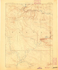
 - 1886 Map of Abajo
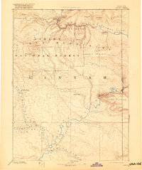
 1886 Abajo1886 Print · USGSCovers Colorado, including Shiprock Agency, Blanding, and other nearby areas
 - 1888 Map of Crested Butte
 1888 Crested Butte1888 Print · USGSCovers Colorado, including Crested Butte, Mount Crested Butte, and other nearby areas
 - 1888 Map of Anthracite, 1956 Print
 1888 Anthracite1956 Print · USGSCovers Colorado, including Baldwin, Gunnison County, and other nearby areas
 - 1888 Map of Crested Butte, 1956 Print
 1888 Crested Butte1956 Print · USGSCovers Colorado, including Crested Butte, Mount Crested Butte, and other nearby areas
 - 1889 Map of Crested Butte
 1889 Crested Butte1889 Print · USGSCovers Colorado, including Crested Butte, Mount Crested Butte, and other nearby areas
 - 1889 Map of Largo
 1889 Largo1889 Print · USGSCovers Colorado, including Bloomfield, Aztec, and other nearby areas
 - 1889 Map of Anthracite
 1889 Anthracite1889 Print · USGSCovers Colorado, including Baldwin, Gunnison County, and other nearby areas
 - 1889 Map of Canon City
 1889 Canon City1889 Print · USGSCovers Colorado, including Cañon City, Lincoln Park, and other nearby areas
Showing maps 1-25 of 8,091
Top cities in Colorado
- Denver historical maps
- Colorado Springs historical maps
- Aurora historical maps
- Fort Collins historical maps
- Lakewood historical maps
- Thornton historical maps
See more
Top counties in Colorado
- Denver historical maps
- El Paso County historical maps
- Arapahoe County historical maps
- Jefferson County historical maps
- Adams County historical maps
- Larimer County historical maps
See more
Frequently asked questions
- What are the different types of historical maps available for Colorado?
- What is the oldest map of Colorado?
- Where can I purchase historical maps of Colorado for my home or office?
- Where can I download high-res historical maps of Colorado?
- Are there historical topographic maps available for Colorado?
- Is there historical aerial imagery available for Colorado?
- Where are historical maps of Colorado sourced from?