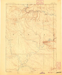
1885 Map of Ashley
USGS Topo · Published 1909About this map
The Green River carves a dramatic path through the Uinta Mountains on this late-nineteenth-century reconnaissance survey. This era of exploration reveals the landscape before modern reclamation, highlighting topographic milestones like Flaming Gorge and the narrow passage of Horseshoe Canyon. To the south, the Uinta Valley opens into the Wonsits Valley, a region of significant early administrative activity. The presence of the White Rocks Uinta Indian Agency and the early settlement of Ashley marks the intersection of indigenous lands and expanding pioneer outposts. Researchers will find a world defined by its drainage basins, from the Henry River in the north to the confluence at Ouray, during a decade when the Utah Colorado Boundary Line was being definitively mapped through Browns Park.
Find a feature on this map
43 named features on this map. Tap any name to fly to it.
Don’t see what you’re looking for? This feature index may not catch every label — zoom into the map to look around manually.
Map Details
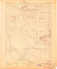
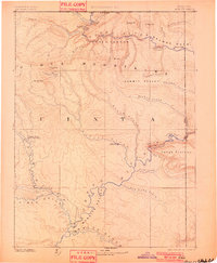
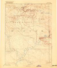
Editions of this 1885 Ashley Map
5 editions found
Other maps of this area

1885 · East Tavaputs
USGS Topo · 1:250,000

1885 · Ashley
USGS Topo · 1:250,000

1885 · Uinta
USGS Topo · 1:250,000

1886 · Price River
USGS Topo · 1:250,000

1896 · Price River
USGS Topo · 1:250,000

1905 · Gilbert Peak
USGS Topo · 1:125,000

1906 · Gilbert Peak
USGS Topo · 1:125,000

1906 · Marsh Peak
USGS Topo · 1:125,000

1907 · Rangely
USGS Topo · 1:125,000

1907 · Jensen
USGS Topo · 1:125,000