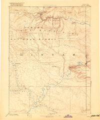
1885 Map of Ashley
USGS Topo · Published 1920About this map
White River and the Green River converge in the southern reaches of this Northeastern Utah territory, anchoring a landscape where river travel and mountain passes dictated early settlement. The White Rocks (Uinta Indian Agency) stands as a primary administrative and social hub near the western border, while the small settlement of Ashley marks an early presence in the central valley. The topography is dominated by the massive Uinta Mountains, featuring prominent summits like Marsh Peak and Leidy Peak. The map documents the dramatic path of the Green River as it carves through Flaming Gorge, Horseshoe Canyon, and Red Canyon before entering the broad Browns Park area near the Utah Colorado Boundary Line. This reconnaissance data, derived from the foundational King and Powell surveys, illustrates the region prior to widespread modern development, emphasizing the natural corridors of Summit Valley and the Wonsits Valley.
Find a feature on this map
42 named features on this map. Tap any name to fly to it.
Don’t see what you’re looking for? This feature index may not catch every label — zoom into the map to look around manually.
Map Details
Editions of this 1885 Ashley Map
5 editions found
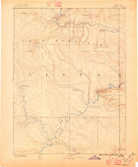
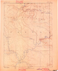
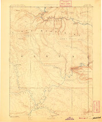
Other maps of this area

1885 · East Tavaputs
USGS Topo · 1:250,000

1885 · Ashley
USGS Topo · 1:250,000

1885 · Uinta
USGS Topo · 1:250,000

1886 · Price River
USGS Topo · 1:250,000

1896 · Price River
USGS Topo · 1:250,000

1905 · Gilbert Peak
USGS Topo · 1:125,000

1906 · Gilbert Peak
USGS Topo · 1:125,000

1906 · Marsh Peak
USGS Topo · 1:125,000

1907 · Rangely
USGS Topo · 1:125,000

1907 · Jensen
USGS Topo · 1:125,000