
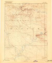
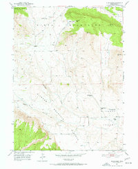
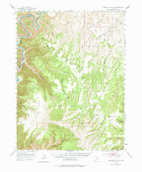
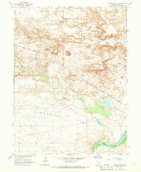
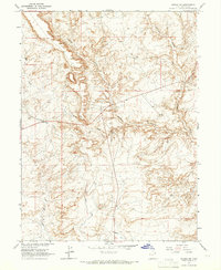
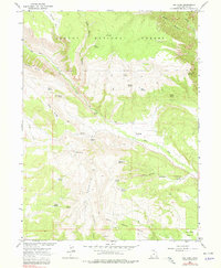
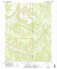
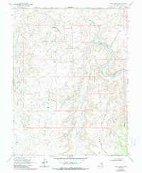
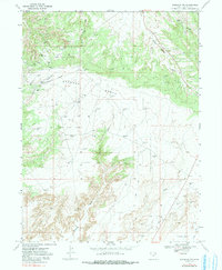
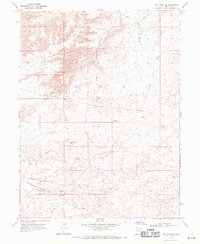
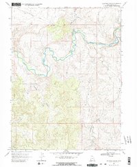
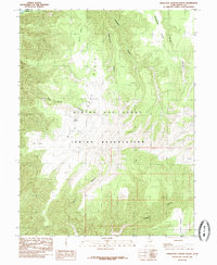
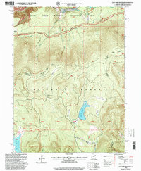
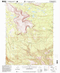
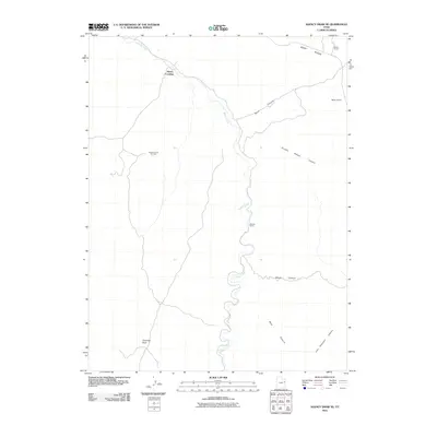
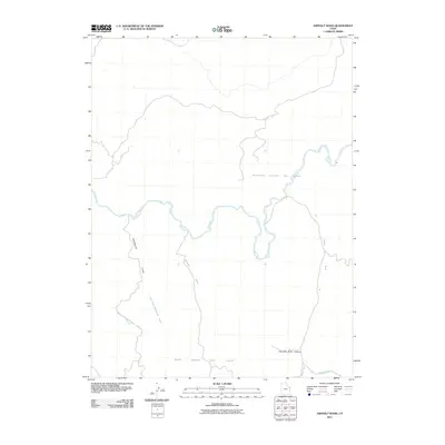
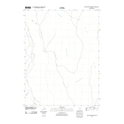
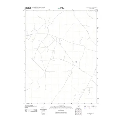
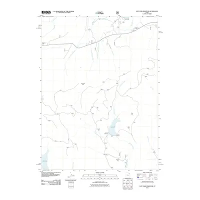
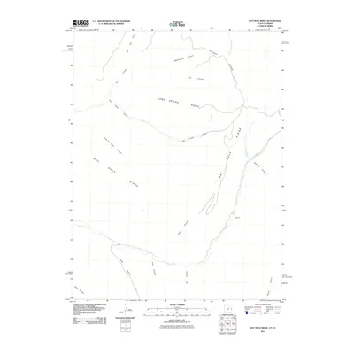
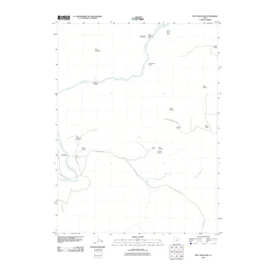
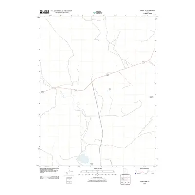
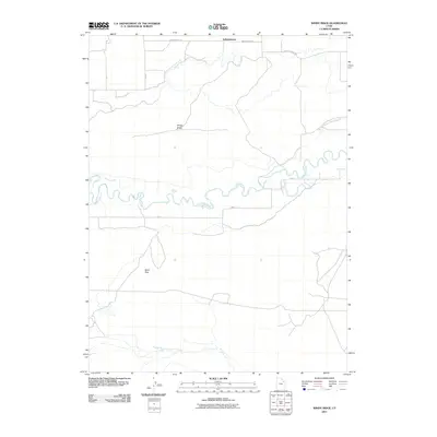
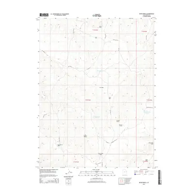
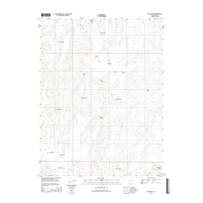
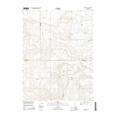
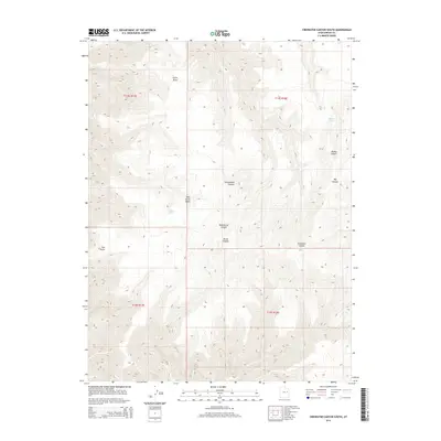
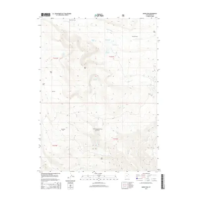
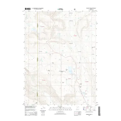
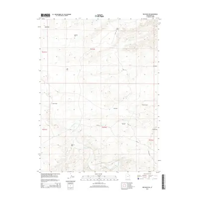
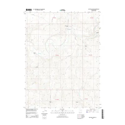
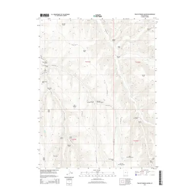
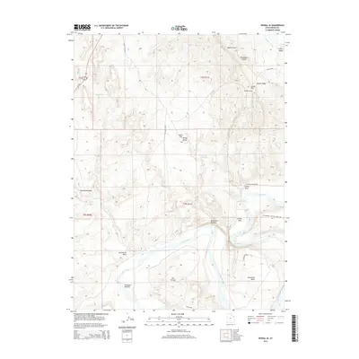
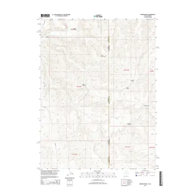
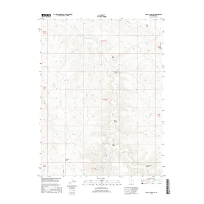
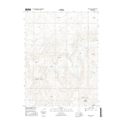
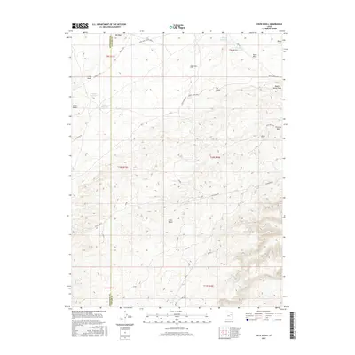
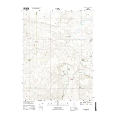
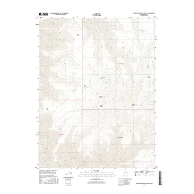
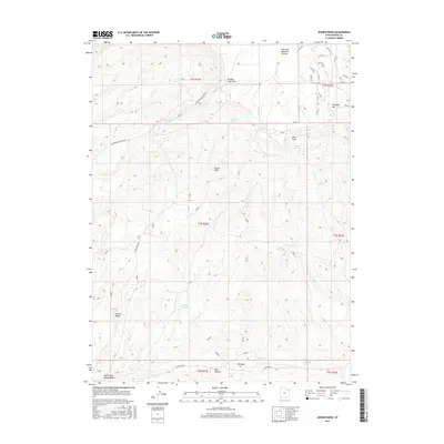
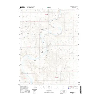
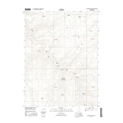
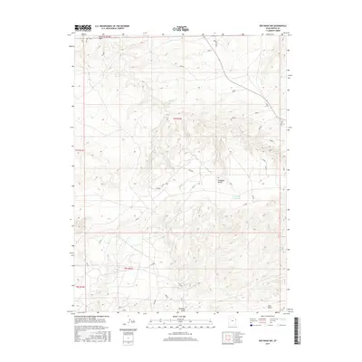
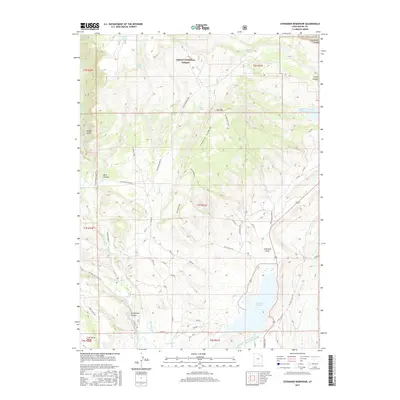
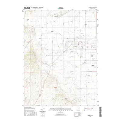
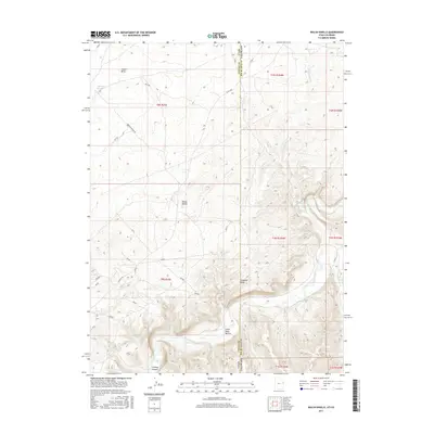
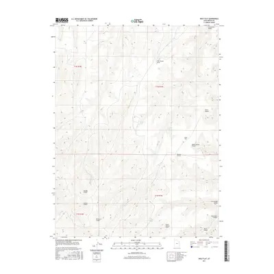
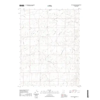
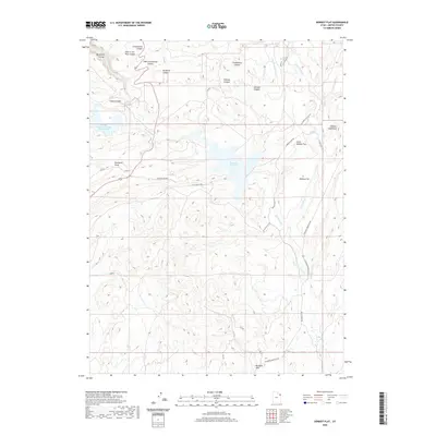
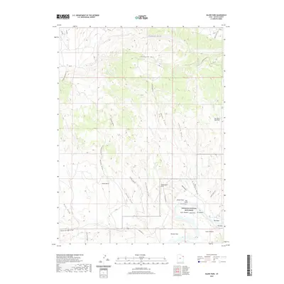
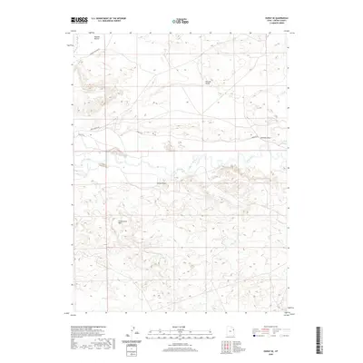
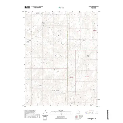
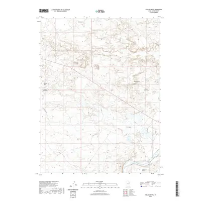
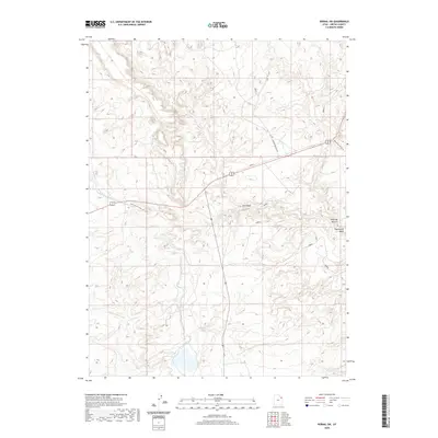
1906 Map of Marsh Peak
USGS Topo · Published 1906About this map
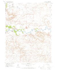
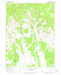
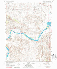
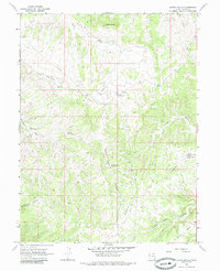
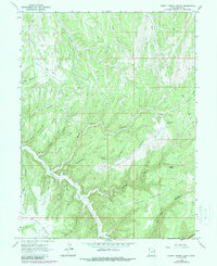
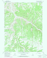
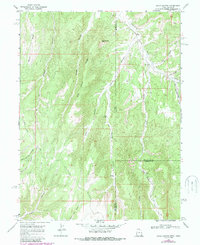
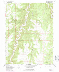
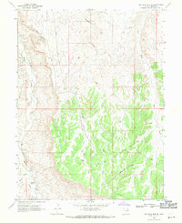
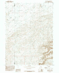
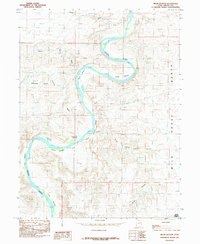
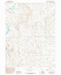
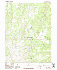
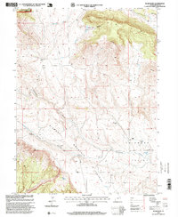
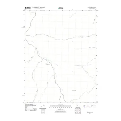
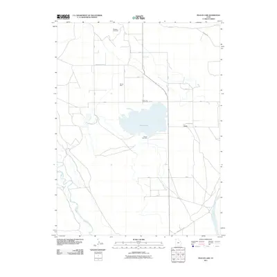
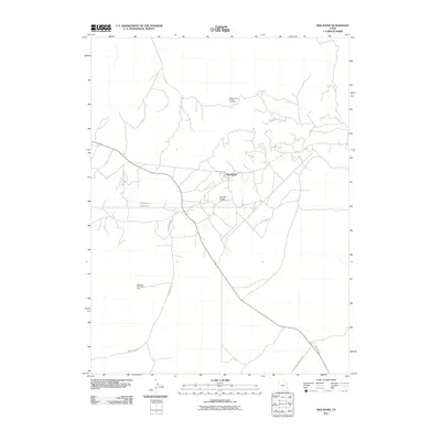
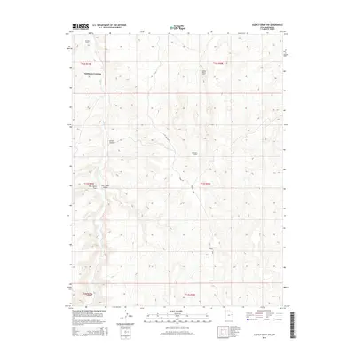
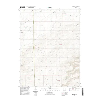
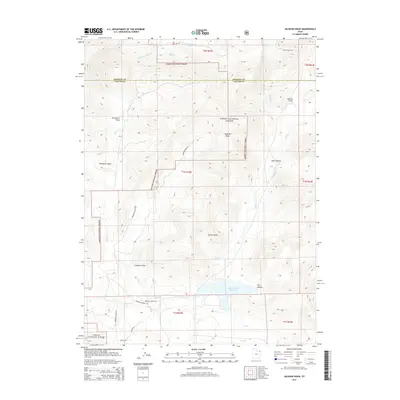
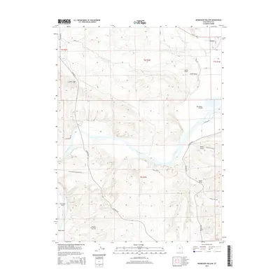
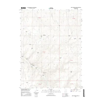
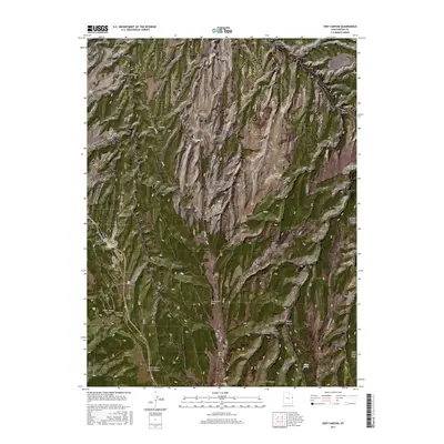
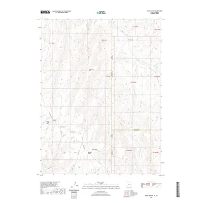
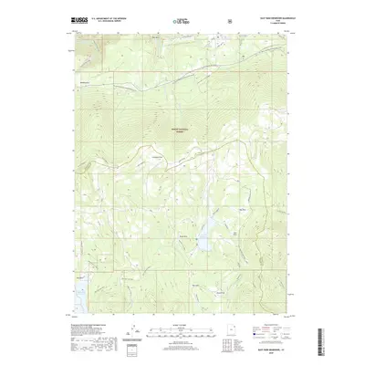
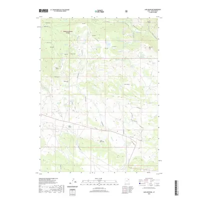
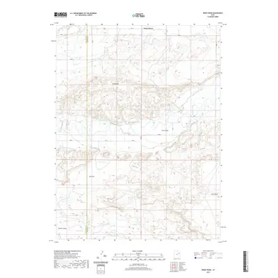
Marsh Peak and the high ridges of the Uinta Mountains dominate this early twentieth-century survey, capturing a landscape of high-altitude industry and sparse settlement before major water reclamation projects. Early resource extraction is evident through the scattered sites of Dyer Mine and various timber or ore processing centers like Griffins Mill, Johnsons Mill, and Flume Mill. The Green River carves a deep path through the northeast, winding through Horseshoe Canyon and the iconic Flaming Gorge. Settlers and stockmen established outposts in the lower elevations, marked by the fledgling communities of Manila and Linwood, as well as remote structures such as Dodds Cabin and Kings Cabin. This map documents the complex geography of the Ashley National Forest, showing the intricate network of water sources like Goose Lakes and Ashley Creek that sustained this high mountain environment.
Find a feature on this map
58 named features on this map. Tap any name to fly to it.
Don’t see what you’re looking for? This feature index may not catch every label — zoom into the map to look around manually.
Map Details
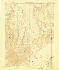
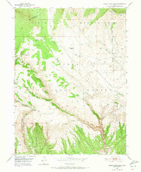
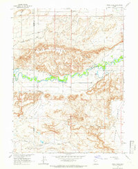
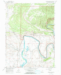
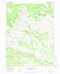
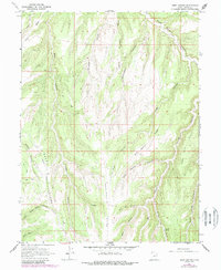
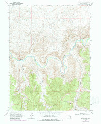
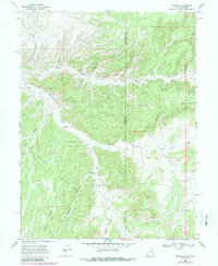
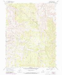
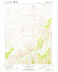
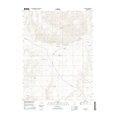
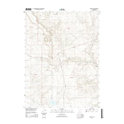
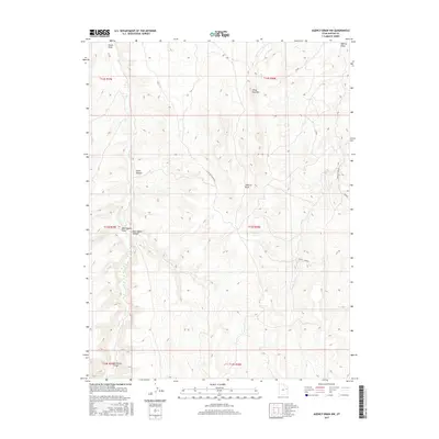
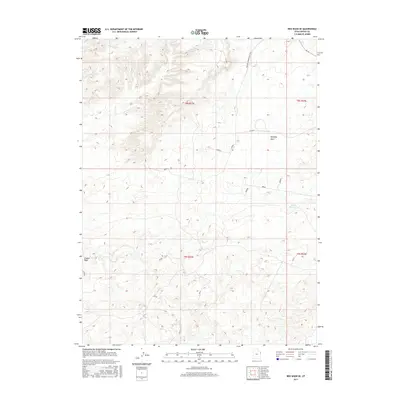
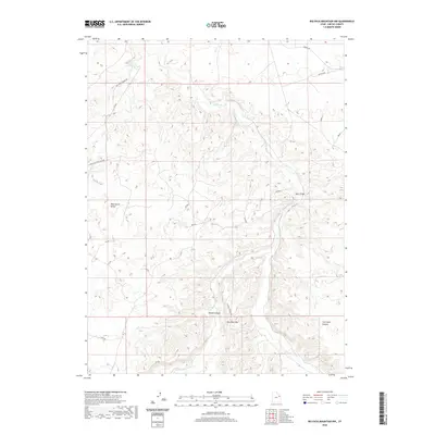
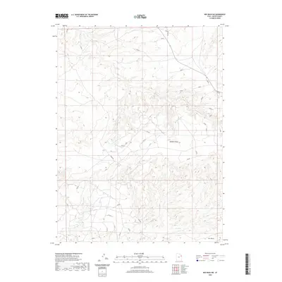
Editions of this 1906 Marsh Peak Map
2 editions found
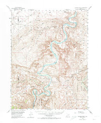
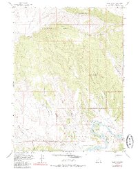
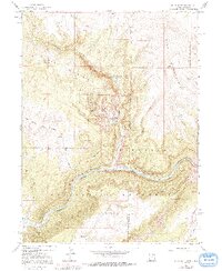
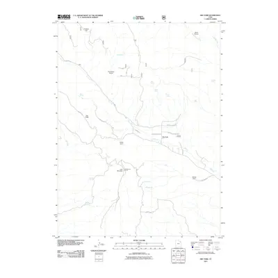
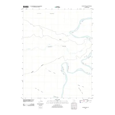
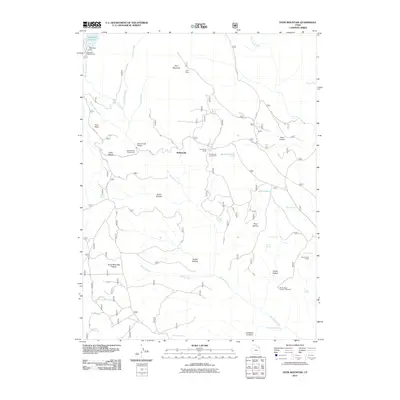
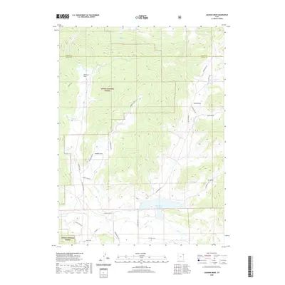
Historical Maps of Manila Through Time
452 maps found
1885 Ashley
Uintah County, UT
1885 East Tavaputs
Uintah County, UT
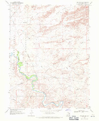
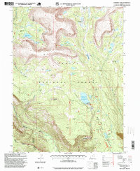
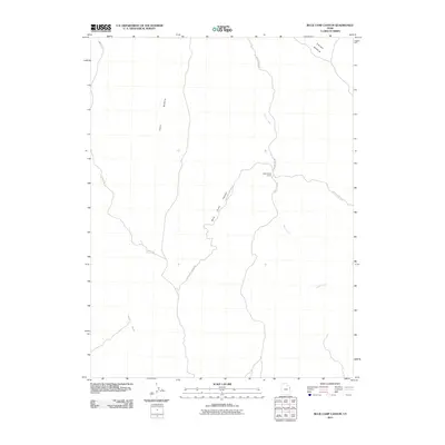
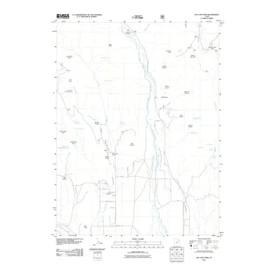
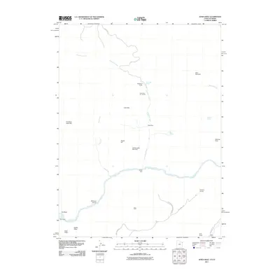
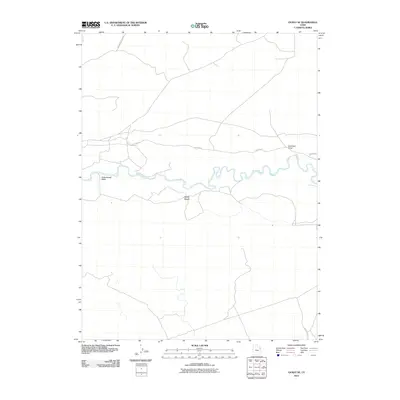
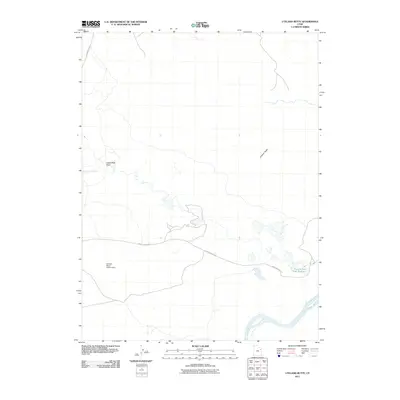
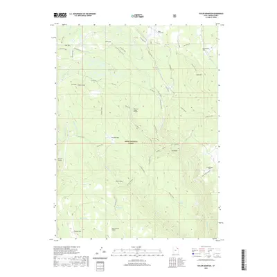
1906 Marsh Peak
Uintah County, UT
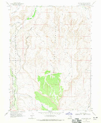
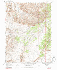
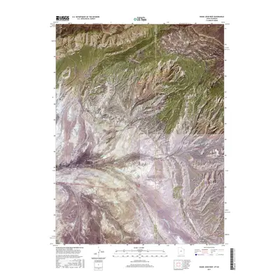
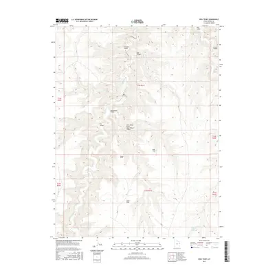
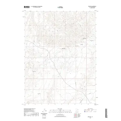
1908 Marsh Peak
Uintah County, UT
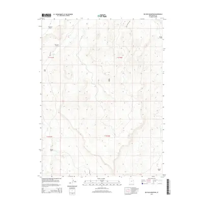
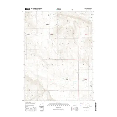
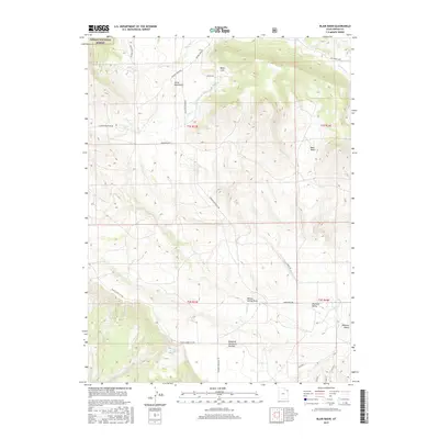
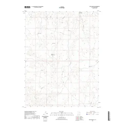
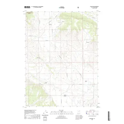
1950 Blair Basin
Uintah County, UT
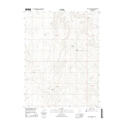
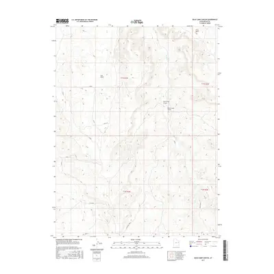
1950 Burnt Cabin Gorge
Uintah County, UT
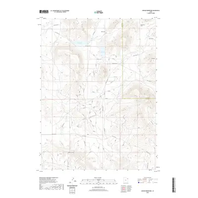
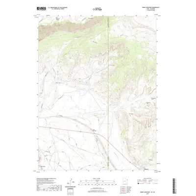
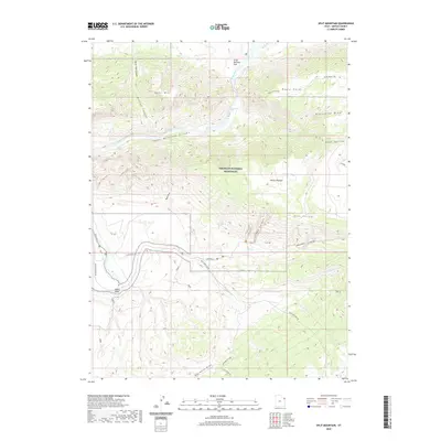
1950 Dyer Mountain
Uintah County, UT
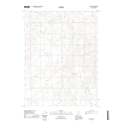
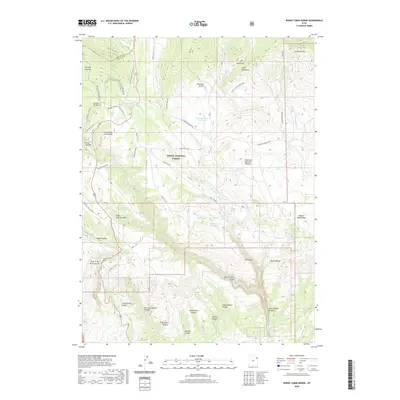
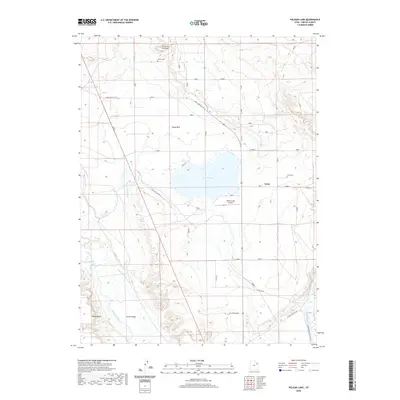
1952 Warren Draw
Uintah County, UT
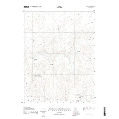
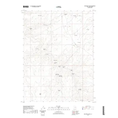
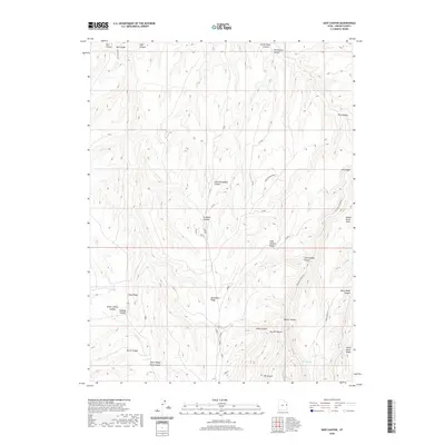
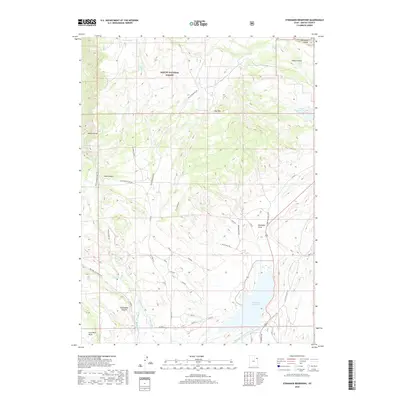
1953 Firewater Canyon
Uintah County, UT
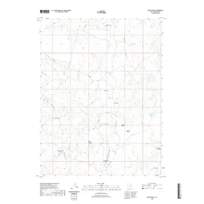
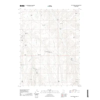
1953 Nutters Hole
Uintah County, UT
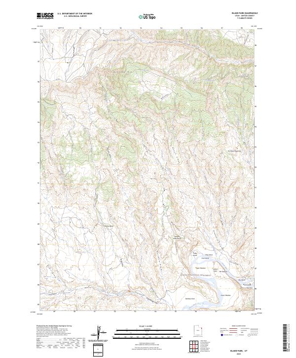
1955 Island Park
Uintah County, UT
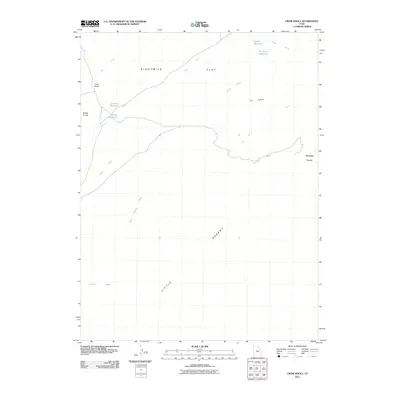
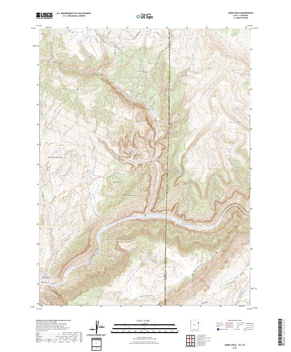
1955 Jones Hole
Uintah County, UT
1955 Split Mountain
Uintah County, UT
1955 Stuntz Reservoir
Uintah County, UT
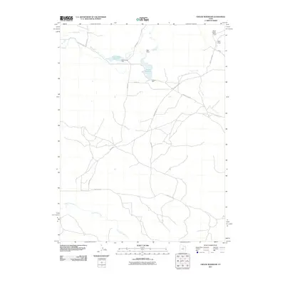
1963 East Park Reservoir
Uintah County, UT
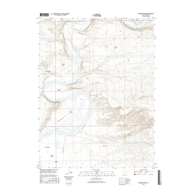
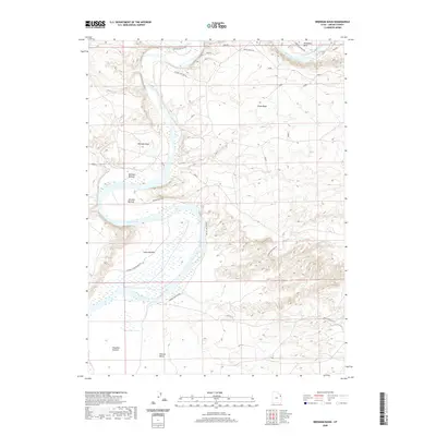
1964 Brennan Basin
Uintah County, UT
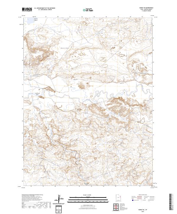
1964 Ouray SE
Uintah County, UT
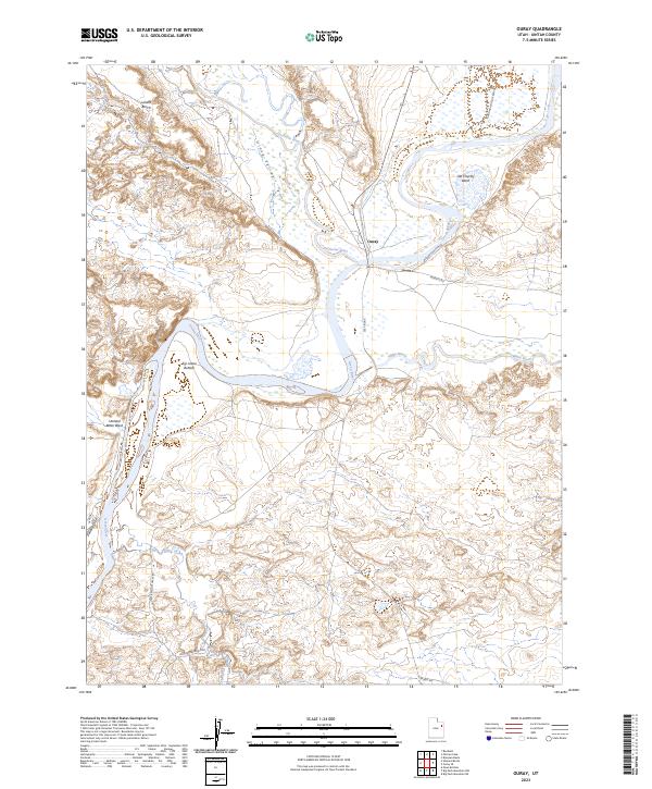
1964 Ouray
Uintah County, UT
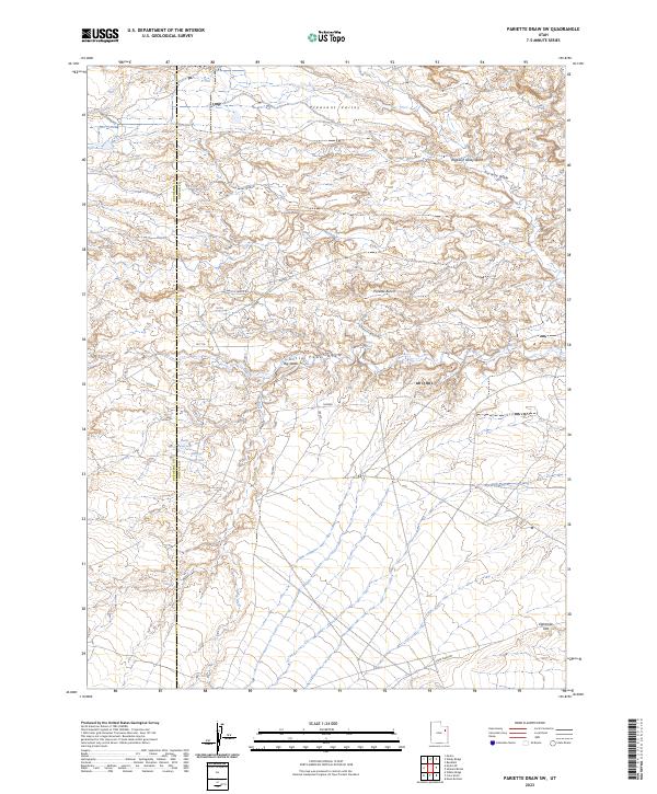
1964 Pariette Draw SW
Uintah County, UT
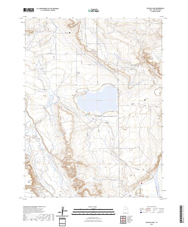
1964 Pelican Lake
Uintah County, UT
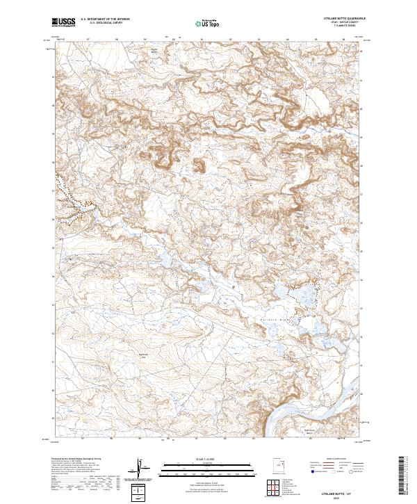
1964 Uteland Butte
Uintah County, UT
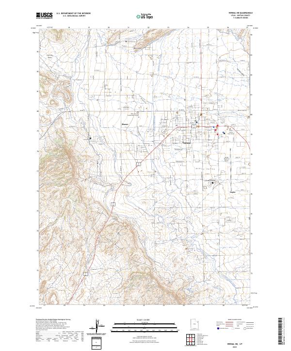
1964 Vernal NE
Uintah County, UT
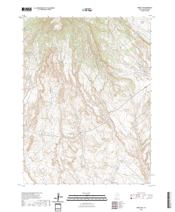
1964 Vernal NW
Uintah County, UT
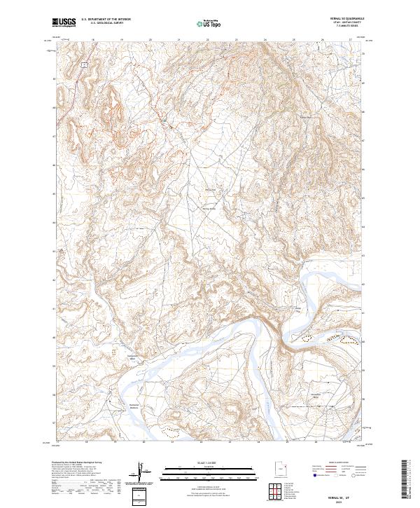
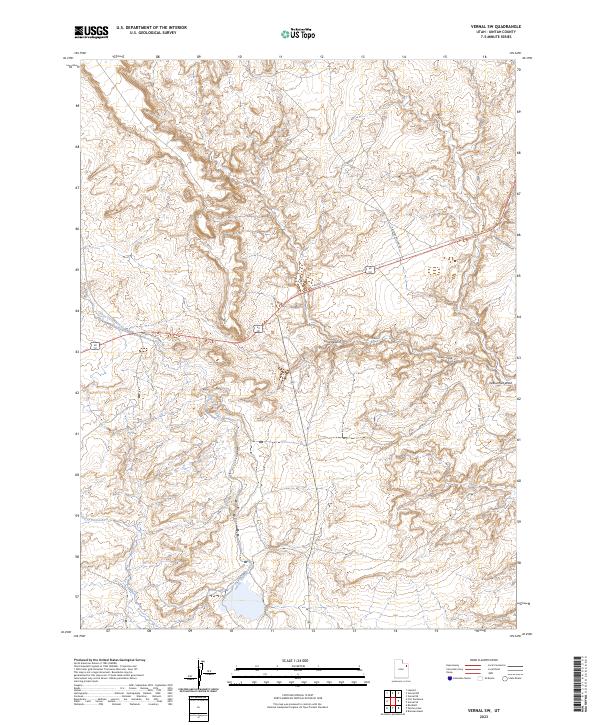
1964 Vernal SE
Uintah County, UT
1964 Vernal SW
Uintah County, UT
1964 Windy Ridge
Uintah County, UT
1965 Dinosaur Quarry
Uintah County, UT
1965 Donkey Flat
Uintah County, UT
1965 Ice Cave Peak
Uintah County, UT
1965 Lake Mountain
Uintah County, UT
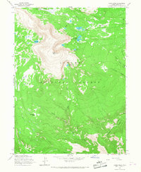
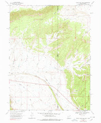
1965 Marsh Peak
Uintah County, UT
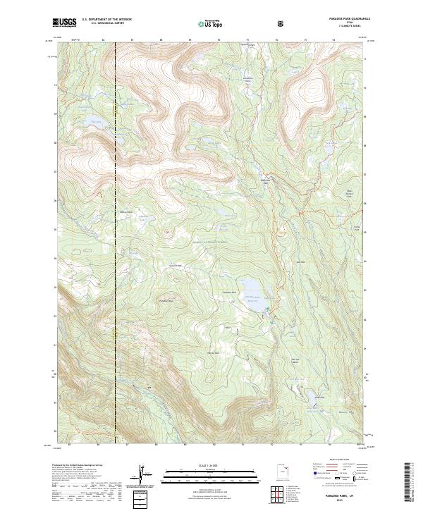
1965 Paradise Park
Uintah County, UT
1965 Rasmussen Hollow
Uintah County, UT
1965 Steinaker Reservoir
Uintah County, UT
1966 Agency Draw NE
Uintah County, UT
1966 Agency Draw NW
Uintah County, UT
1966 Bates Knolls
Uintah County, UT
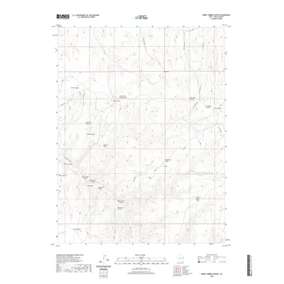
1966 Burnt Timber Canyon
Uintah County, UT
1966 Copper Canyon
Uintah County, UT
1966 Davis Canyon
Uintah County, UT
1966 Dry Fork
Uintah County, UT
1966 Flat Rock Mesa
Uintah County, UT
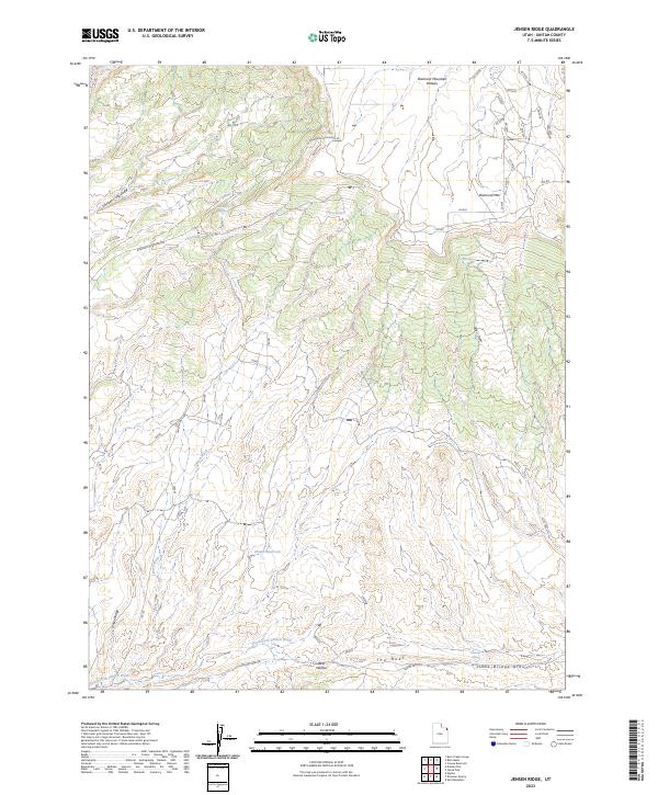
1966 Jensen Ridge
Uintah County, UT
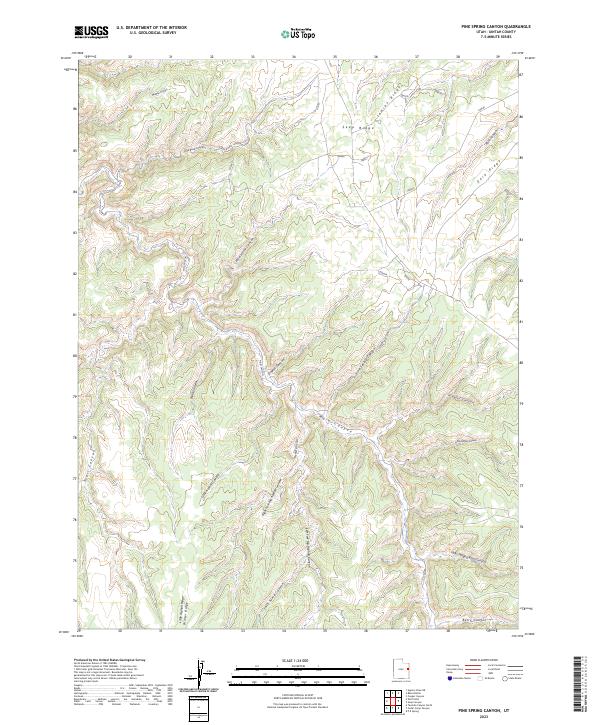
1966 Pine Spring Canyon
Uintah County, UT
1966 Rat Hole Ridge
Uintah County, UT
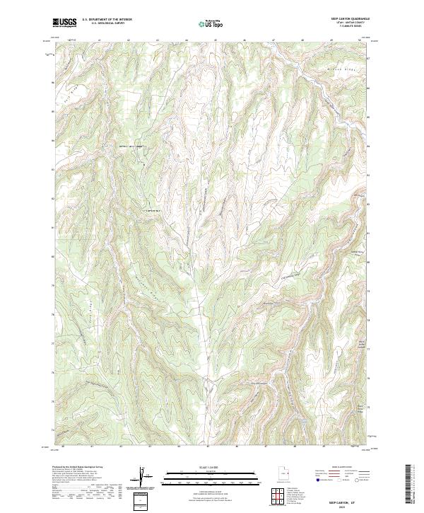
1966 Seep Canyon
Uintah County, UT
1966 Taylor Mtn
Uintah County, UT
1966 Tom Patterson Canyon
Uintah County, UT
1966 Wolf Point
Uintah County, UT
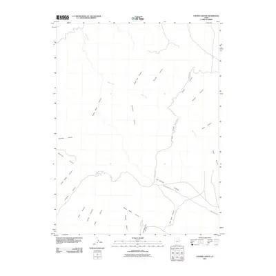
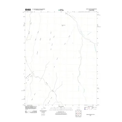
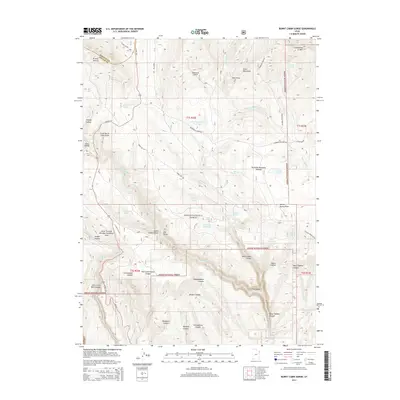
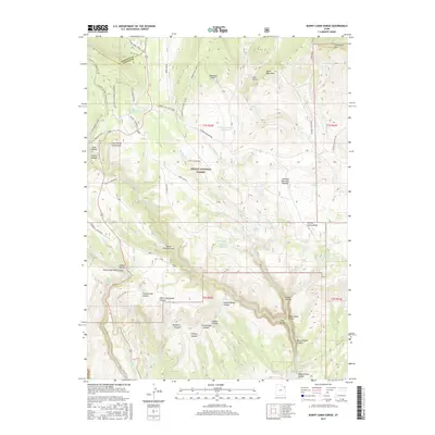
1967 Crouse Reservoir
Uintah County, UT
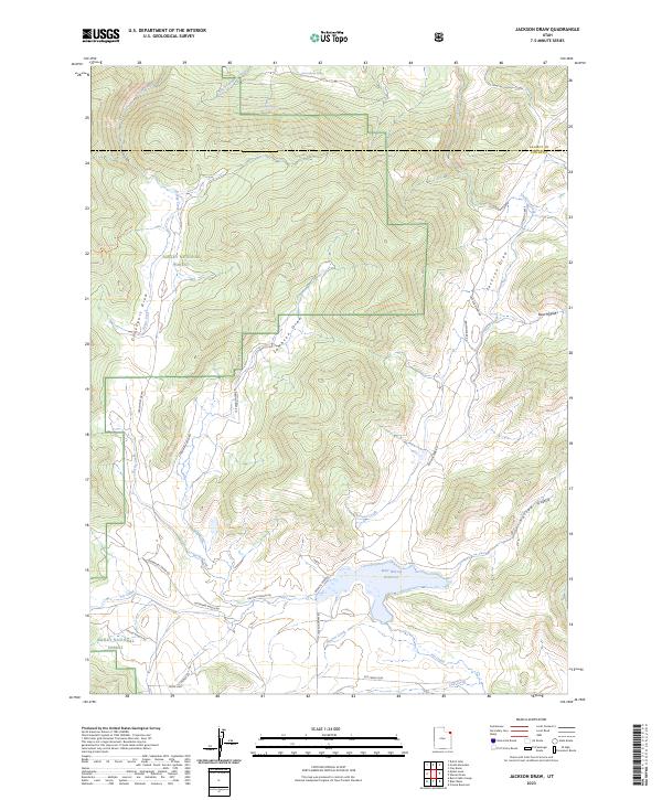
1967 Jackson Draw
Uintah County, UT
1968 Archy Bench SE
Uintah County, UT
1968 Archy Bench
Uintah County, UT
1968 Asphalt Wash
Uintah County, UT
1968 Big Pack Mtn. NE
Uintah County, UT
1968 Big Pack Mtn. NW
Uintah County, UT
1968 Big Pack Mtn. SE
Uintah County, UT
1968 Big Pack Mtn.
Uintah County, UT
1968 Buck Camp Canyon
Uintah County, UT
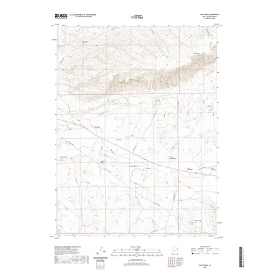
1968 Cliff Ridge
Uintah County, UT
1968 Dinosaur NW
Uintah County, UT
1968 Dragon
Uintah County, UT
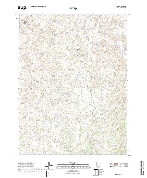
1968 Rainbow
Uintah County, UT
1968 Red Wash NW
Uintah County, UT
1968 Red Wash SE
Uintah County, UT
1968 Red Wash SW
Uintah County, UT
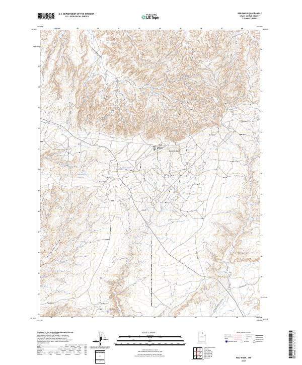
1968 Red Wash
Uintah County, UT
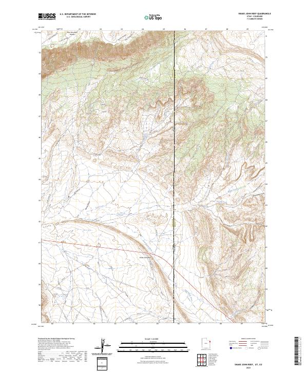
1968 Snake John Reef
Uintah County, UT
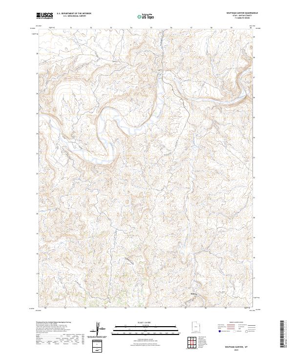
1968 Southam Canyon
Uintah County, UT
1968 Walsh Knolls
Uintah County, UT
1968 Weaver Ridge
Uintah County, UT
1981 Seep Ridge
Uintah County, UT
1985 Crow Knoll
Uintah County, UT
1985 Dog Knoll
Uintah County, UT
1985 Duches Hole
Uintah County, UT
1985 Firewater Canyon North
Uintah County, UT
1985 Firewater Canyon South
Uintah County, UT
1985 Moon Bottom
Uintah County, UT
1985 Nutters Hole
Uintah County, UT
1985 Wolf Flat
Uintah County, UT
1996 Blair Basin
Uintah County, UT
1996 Burnt Cabin Gorge
Uintah County, UT
1996 Dry Fork
Uintah County, UT
1996 Dyer Mountain
Uintah County, UT
1996 East Park Reservoir
Uintah County, UT
1996 Ice Cave Peak
Uintah County, UT
1996 Jackson Draw
Uintah County, UT
1996 Lake Mountain
Uintah County, UT
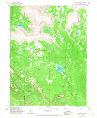
1996 Marsh Peak
Uintah County, UT
1996 Paradise Park
Uintah County, UT
1996 Steinaker Reservoir
Uintah County, UT
1996 Taylor Mountain
Uintah County, UT
2011 Agency Draw NE
Uintah County, UT
2011 Agency Draw NW
Uintah County, UT
2011 Archy Bench SE
Uintah County, UT
2011 Archy Bench
Uintah County, UT
2011 Asphalt Wash
Uintah County, UT
2011 Bates Knolls
Uintah County, UT
2011 Big Pack Mountain NE
Uintah County, UT
2011 Big Pack Mountain NW
Uintah County, UT
2011 Big Pack Mountain SE
Uintah County, UT
2011 Big Pack Mountain
Uintah County, UT
2011 Blair Basin
Uintah County, UT
2011 Brennan Basin
Uintah County, UT
2011 Buck Camp Canyon
Uintah County, UT
2011 Burnt Cabin Gorge
Uintah County, UT
2011 Burnt Timber Canyon
Uintah County, UT
2011 Cliff Ridge
Uintah County, UT
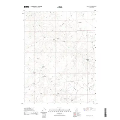
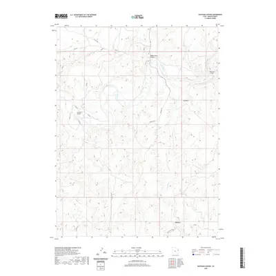
2011 Cooper Canyon
Uintah County, UT
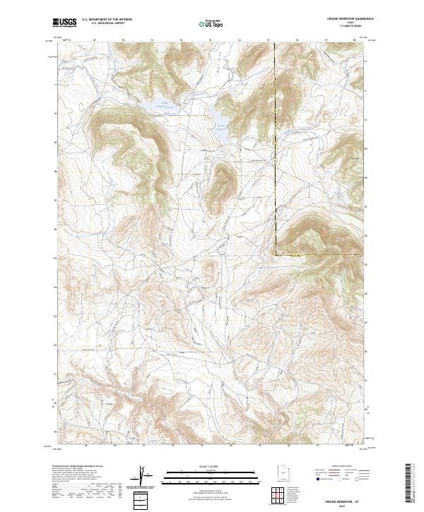
2011 Crouse Reservoir
Uintah County, UT
2011 Crow Knoll
Uintah County, UT
2011 Davis Canyon
Uintah County, UT
2011 Dinosaur NW
Uintah County, UT
2011 Dinosaur Quarry
Uintah County, UT
2011 Dog Knoll
Uintah County, UT
2011 Donkey Flat
Uintah County, UT
2011 Dragon
Uintah County, UT
2011 Dry Fork
Uintah County, UT
2011 Duches Hole
Uintah County, UT
2011 Dyer Mountain
Uintah County, UT
2011 East Park Reservoir
Uintah County, UT
2011 Firewater Canyon North
Uintah County, UT
2011 Firewater Canyon South
Uintah County, UT
2011 Flat Rock Mesa
Uintah County, UT
2011 Ice Cave Peak
Uintah County, UT
2011 Island Park
Uintah County, UT
2011 Jackson Draw
Uintah County, UT
2011 Jensen Ridge
Uintah County, UT
2011 Jones Hole
Uintah County, UT
2011 Lake Mountain
Uintah County, UT
2011 Marsh Peak
Uintah County, UT

2011 Moon Bottom
Uintah County, UT
2011 Nutters Hole
Uintah County, UT
2011 Ouray SE
Uintah County, UT
2011 Ouray
Uintah County, UT
2011 Paradise Park
Uintah County, UT
2011 Pariette Draw SW
Uintah County, UT
2011 Pelican Lake
Uintah County, UT
2011 Pine Spring Canyon
Uintah County, UT
2011 Rainbow
Uintah County, UT
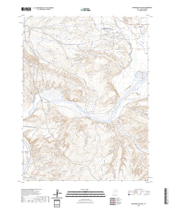
2011 Rasmussen Hollow
Uintah County, UT
2011 Rat Hole Ridge
Uintah County, UT
2011 Red Wash NW
Uintah County, UT
2011 Red Wash SE
Uintah County, UT
2011 Red Wash SW
Uintah County, UT
2011 Red Wash
Uintah County, UT
2011 Seep Canyon
Uintah County, UT
2011 Snake John Reef
Uintah County, UT
2011 Southam Canyon
Uintah County, UT
2011 Split Mountain
Uintah County, UT
2011 Steinaker Reservoir
Uintah County, UT
2011 Taylor Mountain
Uintah County, UT
2011 Tom Patterson Canyon
Uintah County, UT
2011 Uteland Butte
Uintah County, UT
2011 Vernal NE
Uintah County, UT
2011 Vernal NW
Uintah County, UT
2011 Vernal SE
Uintah County, UT
2011 Vernal SW
Uintah County, UT
2011 Walsh Knolls
Uintah County, UT
2011 Warren Draw
Uintah County, UT
2011 Weaver Ridge
Uintah County, UT
2011 Windy Ridge
Uintah County, UT
2011 Wolf Flat
Uintah County, UT
2011 Wolf Point
Uintah County, UT
2014 Agency Draw NE
Uintah County, UT
2014 Agency Draw NW
Uintah County, UT
2014 Archy Bench SE
Uintah County, UT
2014 Archy Bench
Uintah County, UT
2014 Asphalt Wash
Uintah County, UT
2014 Bates Knolls
Uintah County, UT
2014 Big Pack Mountain NE
Uintah County, UT
2014 Big Pack Mountain NW
Uintah County, UT
2014 Big Pack Mountain SE
Uintah County, UT
2014 Big Pack Mountain
Uintah County, UT
2014 Blair Basin
Uintah County, UT

2014 Brennan Basin
Uintah County, UT
2014 Buck Camp Canyon
Uintah County, UT
2014 Burnt Cabin Gorge
Uintah County, UT
2014 Burnt Timber Canyon
Uintah County, UT
2014 Cliff Ridge
Uintah County, UT
2014 Cooper Canyon
Uintah County, UT
2014 Crouse Reservoir
Uintah County, UT
2014 Crow Knoll
Uintah County, UT
2014 Davis Canyon
Uintah County, UT
2014 Dinosaur NW
Uintah County, UT
2014 Dinosaur Quarry
Uintah County, UT
2014 Dog Knoll
Uintah County, UT
2014 Donkey Flat
Uintah County, UT
2014 Dragon
Uintah County, UT
2014 Dry Fork
Uintah County, UT
2014 Duches Hole
Uintah County, UT
2014 Dyer Mountain
Uintah County, UT
2014 East Park Reservoir
Uintah County, UT
2014 Firewater Canyon North
Uintah County, UT
2014 Firewater Canyon South
Uintah County, UT
2014 Flat Rock Mesa
Uintah County, UT
2014 Ice Cave Peak
Uintah County, UT
2014 Island Park
Uintah County, UT
2014 Jackson Draw
Uintah County, UT
2014 Jensen Ridge
Uintah County, UT
2014 Jones Hole
Uintah County, UT
2014 Lake Mountain
Uintah County, UT
2014 Marsh Peak
Uintah County, UT

2014 Moon Bottom
Uintah County, UT
2014 Nutters Hole
Uintah County, UT
2014 Ouray SE
Uintah County, UT
2014 Ouray
Uintah County, UT
2014 Paradise Park
Uintah County, UT
2014 Pariette Draw SW
Uintah County, UT
2014 Pelican Lake
Uintah County, UT

2014 Pine Spring Canyon
Uintah County, UT
2014 Rainbow
Uintah County, UT
2014 Rasmussen Hollow
Uintah County, UT
2014 Rat Hole Ridge
Uintah County, UT
2014 Red Wash NW
Uintah County, UT
2014 Red Wash SE
Uintah County, UT
2014 Red Wash SW
Uintah County, UT
2014 Red Wash
Uintah County, UT
2014 Seep Canyon
Uintah County, UT
2014 Snake John Reef
Uintah County, UT
2014 Southam Canyon
Uintah County, UT
2014 Split Mountain
Uintah County, UT
2014 Steinaker Reservoir
Uintah County, UT
2014 Taylor Mountain
Uintah County, UT
2014 Tom Patterson Canyon
Uintah County, UT
2014 Uteland Butte
Uintah County, UT
2014 Vernal NE
Uintah County, UT
2014 Vernal NW
Uintah County, UT
2014 Vernal SE
Uintah County, UT
2014 Vernal SW
Uintah County, UT
2014 Walsh Knolls
Uintah County, UT
2014 Warren Draw
Uintah County, UT
2014 Weaver Ridge
Uintah County, UT
2014 Windy Ridge
Uintah County, UT
2014 Wolf Flat
Uintah County, UT
2014 Wolf Point
Uintah County, UT
2017 Agency Draw NE
Uintah County, UT
2017 Agency Draw NW
Uintah County, UT
2017 Archy Bench SE
Uintah County, UT
2017 Archy Bench
Uintah County, UT
2017 Asphalt Wash
Uintah County, UT
2017 Bates Knolls
Uintah County, UT
2017 Big Pack Mountain NE
Uintah County, UT

2017 Big Pack Mountain NW
Uintah County, UT
2017 Big Pack Mountain SE
Uintah County, UT

2017 Big Pack Mountain
Uintah County, UT
2017 Blair Basin
Uintah County, UT
2017 Brennan Basin
Uintah County, UT
2017 Buck Camp Canyon
Uintah County, UT
2017 Burnt Cabin Gorge
Uintah County, UT
2017 Burnt Timber Canyon
Uintah County, UT
2017 Cliff Ridge
Uintah County, UT
2017 Cooper Canyon
Uintah County, UT
2017 Crouse Reservoir
Uintah County, UT
2017 Crow Knoll
Uintah County, UT
2017 Davis Canyon
Uintah County, UT
2017 Dinosaur NW
Uintah County, UT
2017 Dinosaur Quarry
Uintah County, UT
2017 Dog Knoll
Uintah County, UT
2017 Donkey Flat
Uintah County, UT
2017 Dragon
Uintah County, UT
2017 Dry Fork
Uintah County, UT
2017 Duches Hole
Uintah County, UT
2017 Dyer Mountain
Uintah County, UT
2017 East Park Reservoir
Uintah County, UT
2017 Firewater Canyon North
Uintah County, UT
2017 Firewater Canyon South
Uintah County, UT

2017 Flat Rock Mesa
Uintah County, UT
2017 Ice Cave Peak
Uintah County, UT
2017 Island Park
Uintah County, UT
2017 Jackson Draw
Uintah County, UT
2017 Jensen Ridge
Uintah County, UT
2017 Jones Hole
Uintah County, UT
2017 Lake Mountain
Uintah County, UT
2017 Marsh Peak
Uintah County, UT
2017 Moon Bottom
Uintah County, UT
2017 Nutters Hole
Uintah County, UT
2017 Ouray SE
Uintah County, UT

2017 Ouray
Uintah County, UT

2017 Paradise Park
Uintah County, UT
2017 Pariette Draw SW
Uintah County, UT

2017 Pelican Lake
Uintah County, UT
2017 Pine Spring Canyon
Uintah County, UT
2017 Rainbow
Uintah County, UT
2017 Rasmussen Hollow
Uintah County, UT
2017 Rat Hole Ridge
Uintah County, UT
2017 Red Wash NW
Uintah County, UT
2017 Red Wash SE
Uintah County, UT
2017 Red Wash SW
Uintah County, UT
2017 Red Wash
Uintah County, UT
2017 Seep Canyon
Uintah County, UT
2017 Snake John Reef
Uintah County, UT
2017 Southam Canyon
Uintah County, UT
2017 Split Mountain
Uintah County, UT
2017 Steinaker Reservoir
Uintah County, UT
2017 Taylor Mountain
Uintah County, UT
2017 Tom Patterson Canyon
Uintah County, UT
2017 Uteland Butte
Uintah County, UT
2017 Vernal NE
Uintah County, UT
2017 Vernal NW
Uintah County, UT
2017 Vernal SE
Uintah County, UT
2017 Vernal SW
Uintah County, UT
2017 Walsh Knolls
Uintah County, UT
2017 Warren Draw
Uintah County, UT
2017 Weaver Ridge
Uintah County, UT
2017 Windy Ridge
Uintah County, UT
2017 Wolf Flat
Uintah County, UT
2017 Wolf Point
Uintah County, UT
2020 Agency Draw NE
Uintah County, UT
2020 Agency Draw NW
Uintah County, UT
2020 Archy Bench SE
Uintah County, UT
2020 Archy Bench
Uintah County, UT
2020 Asphalt Wash
Uintah County, UT
2020 Bates Knolls
Uintah County, UT
2020 Big Pack Mountain NE
Uintah County, UT
2020 Big Pack Mountain NW
Uintah County, UT
2020 Big Pack Mountain SE
Uintah County, UT
2020 Big Pack Mountain
Uintah County, UT
2020 Blair Basin
Uintah County, UT
2020 Brennan Basin
Uintah County, UT
2020 Buck Camp Canyon
Uintah County, UT
2020 Burnt Cabin Gorge
Uintah County, UT
2020 Burnt Timber Canyon
Uintah County, UT
2020 Cliff Ridge
Uintah County, UT
2020 Cooper Canyon
Uintah County, UT
2020 Crouse Reservoir
Uintah County, UT

2020 Crow Knoll
Uintah County, UT
2020 Davis Canyon
Uintah County, UT
2020 Dinosaur NW
Uintah County, UT
2020 Dinosaur Quarry
Uintah County, UT
2020 Dog Knoll
Uintah County, UT
2020 Donkey Flat
Uintah County, UT

2020 Dragon
Uintah County, UT
2020 Dry Fork
Uintah County, UT
2020 Duches Hole
Uintah County, UT
2020 Dyer Mountain
Uintah County, UT
2020 East Park Reservoir
Uintah County, UT
2020 Firewater Canyon North
Uintah County, UT
2020 Firewater Canyon South
Uintah County, UT
2020 Flat Rock Mesa
Uintah County, UT

2020 Ice Cave Peak
Uintah County, UT
2020 Island Park
Uintah County, UT
2020 Jackson Draw
Uintah County, UT
2020 Jensen Ridge
Uintah County, UT
2020 Jones Hole
Uintah County, UT
2020 Lake Mountain
Uintah County, UT
2020 Marsh Peak
Uintah County, UT
2020 Moon Bottom
Uintah County, UT
2020 Nutters Hole
Uintah County, UT
2020 Ouray SE
Uintah County, UT
2020 Ouray
Uintah County, UT
2020 Paradise Park
Uintah County, UT
2020 Pariette Draw SW
Uintah County, UT
2020 Pelican Lake
Uintah County, UT
2020 Pine Spring Canyon
Uintah County, UT
2020 Rainbow
Uintah County, UT
2020 Rasmussen Hollow
Uintah County, UT
2020 Rat Hole Ridge
Uintah County, UT
2020 Red Wash NW
Uintah County, UT
2020 Red Wash SE
Uintah County, UT
2020 Red Wash SW
Uintah County, UT
2020 Red Wash
Uintah County, UT
2020 Seep Canyon
Uintah County, UT
2020 Snake John Reef
Uintah County, UT
2020 Southam Canyon
Uintah County, UT
2020 Split Mountain
Uintah County, UT
2020 Steinaker Reservoir
Uintah County, UT
2020 Taylor Mountain
Uintah County, UT
2020 Tom Patterson Canyon
Uintah County, UT
2020 Uteland Butte
Uintah County, UT
2020 Vernal NE
Uintah County, UT
2020 Vernal NW
Uintah County, UT
2020 Vernal SE
Uintah County, UT
2020 Vernal SW
Uintah County, UT
2020 Walsh Knolls
Uintah County, UT
2020 Warren Draw
Uintah County, UT
2020 Weaver Ridge
Uintah County, UT
2020 Windy Ridge
Uintah County, UT
2020 Wolf Flat
Uintah County, UT
2020 Wolf Point
Uintah County, UT
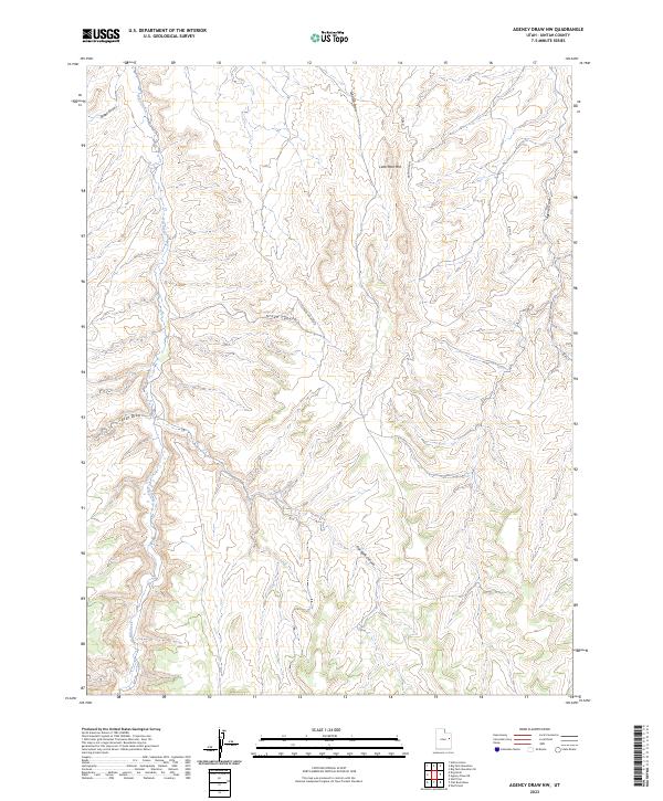
2023 Agency Draw NE
Uintah County, UT
2023 Agency Draw NW
Uintah County, UT
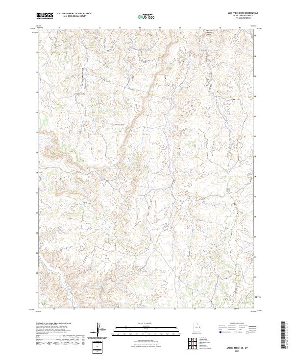
2023 Archy Bench SE
Uintah County, UT
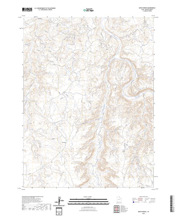
2023 Archy Bench
Uintah County, UT
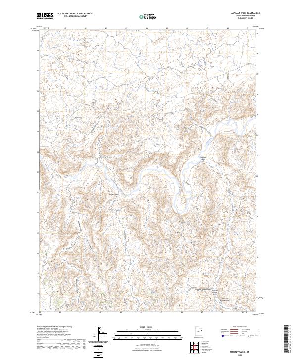
2023 Asphalt Wash
Uintah County, UT
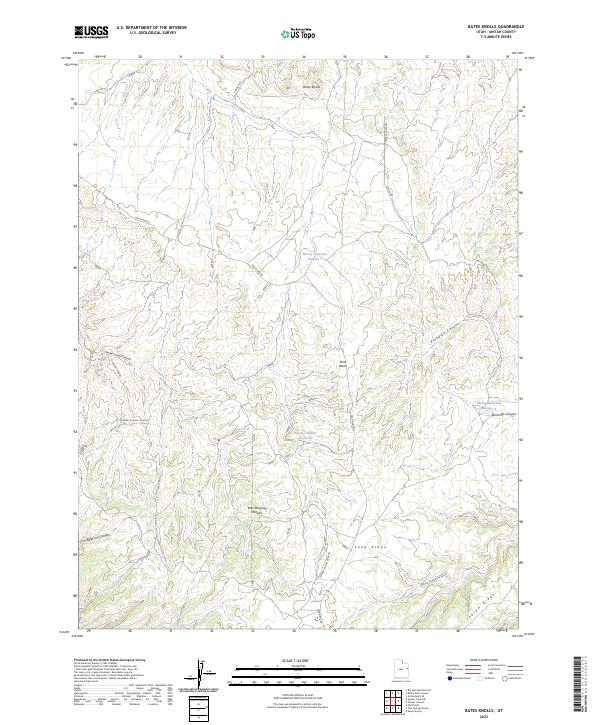
2023 Bates Knolls
Uintah County, UT
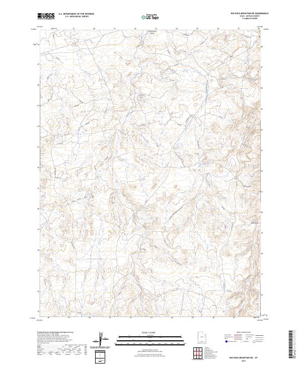
2023 Big Pack Mountain NE
Uintah County, UT
2023 Big Pack Mountain NW
Uintah County, UT
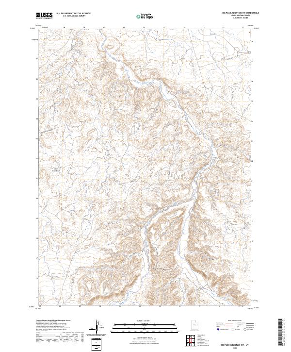
2023 Big Pack Mountain SE
Uintah County, UT
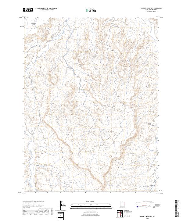
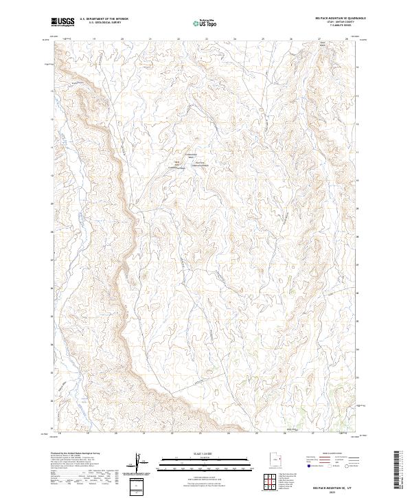
2023 Big Pack Mountain
Uintah County, UT
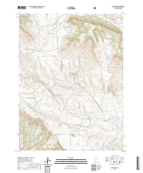
2023 Blair Basin
Uintah County, UT
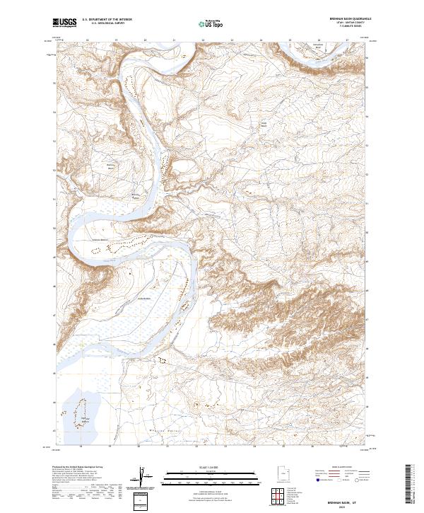
2023 Brennan Basin
Uintah County, UT
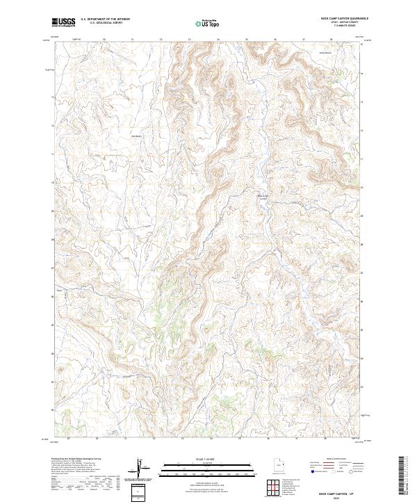
2023 Buck Camp Canyon
Uintah County, UT
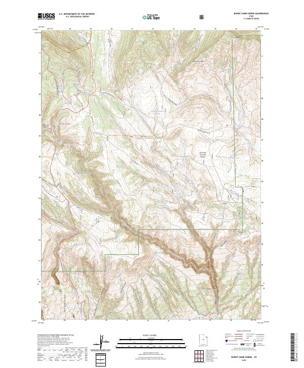
2023 Burnt Cabin Gorge
Uintah County, UT
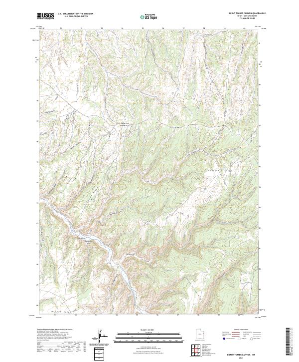
2023 Burnt Timber Canyon
Uintah County, UT
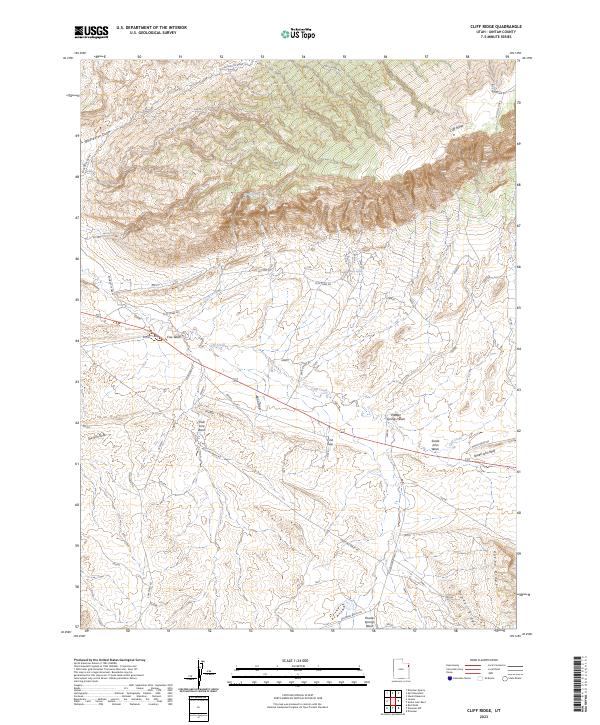
2023 Cliff Ridge
Uintah County, UT
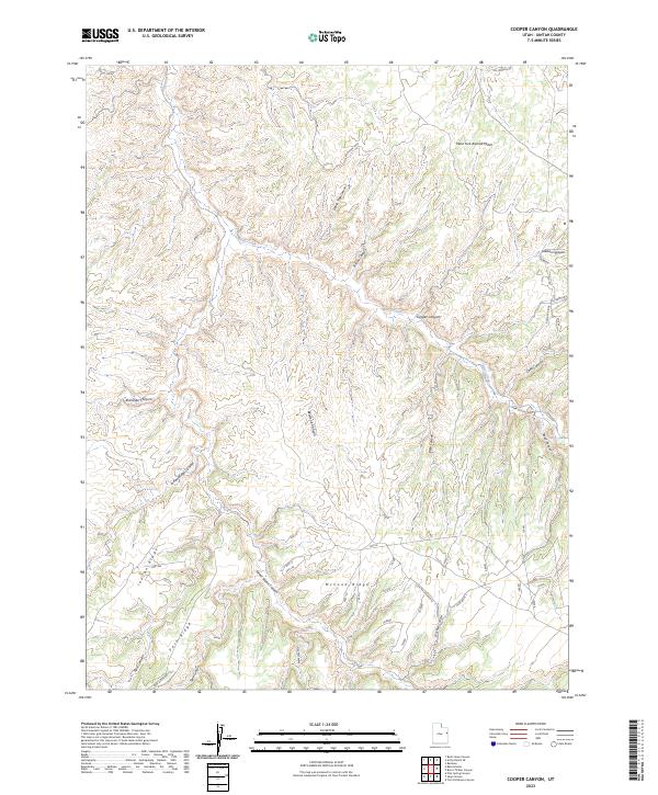
2023 Cooper Canyon
Uintah County, UT
2023 Crouse Reservoir
Uintah County, UT
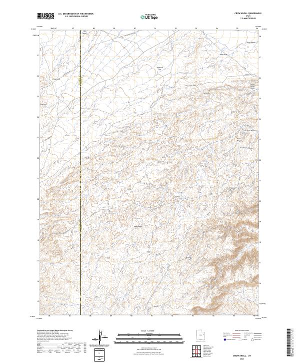
2023 Crow Knoll
Uintah County, UT
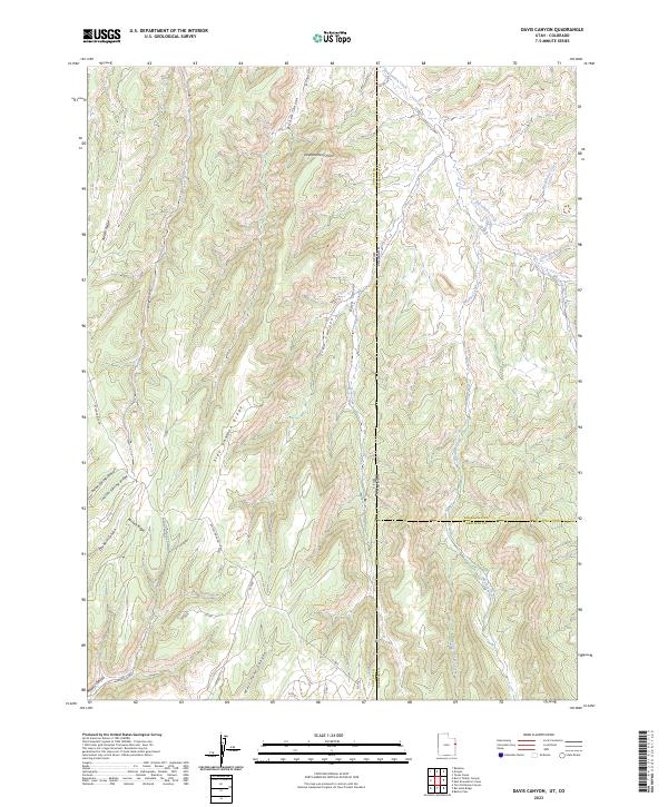
2023 Davis Canyon
Uintah County, UT
2023 Dinosaur NW
Uintah County, UT
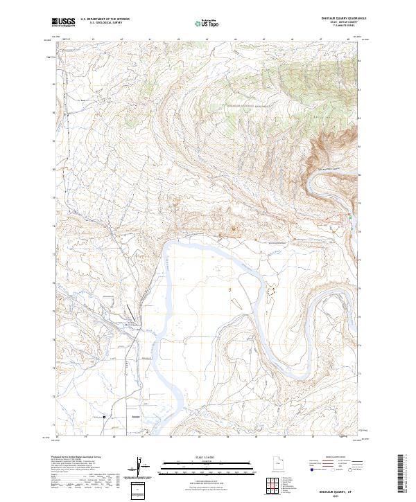
2023 Dinosaur Quarry
Uintah County, UT
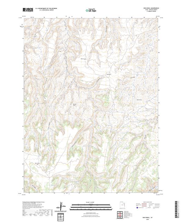
2023 Dog Knoll
Uintah County, UT
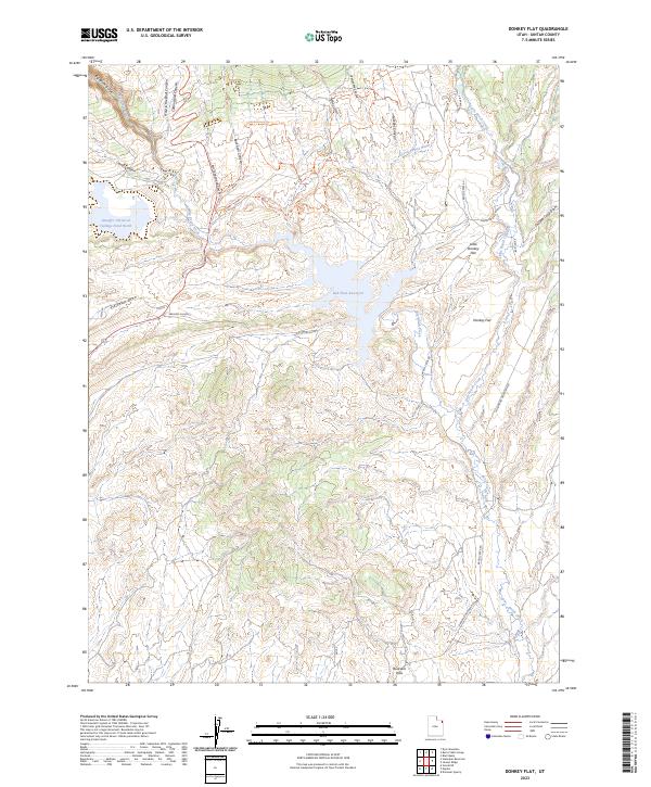
2023 Donkey Flat
Uintah County, UT
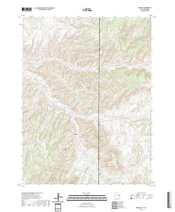
2023 Dragon
Uintah County, UT
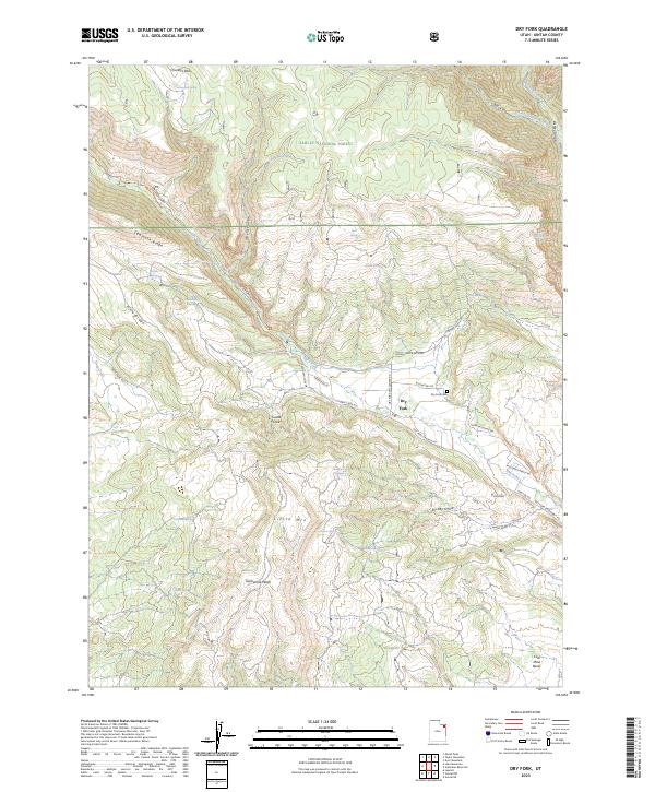
2023 Dry Fork
Uintah County, UT
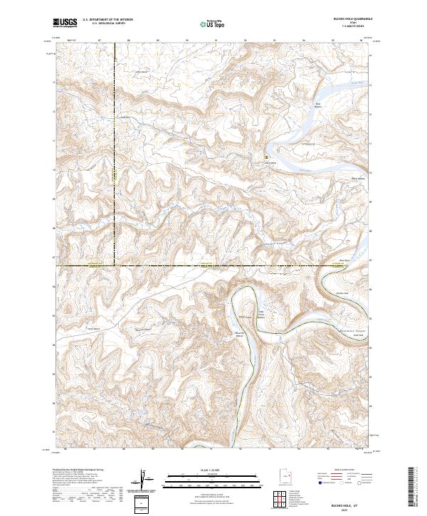
2023 Duches Hole
Uintah County, UT
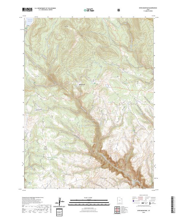
2023 Dyer Mountain
Uintah County, UT
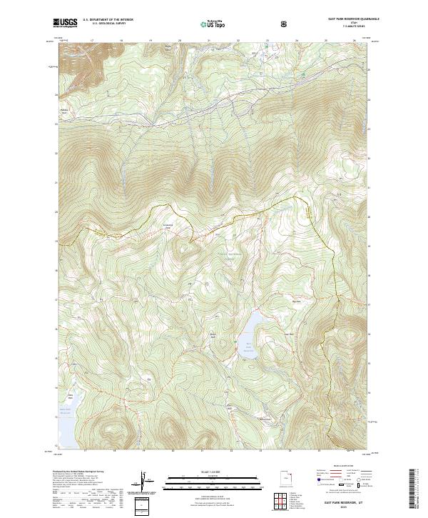
2023 East Park Reservoir
Uintah County, UT
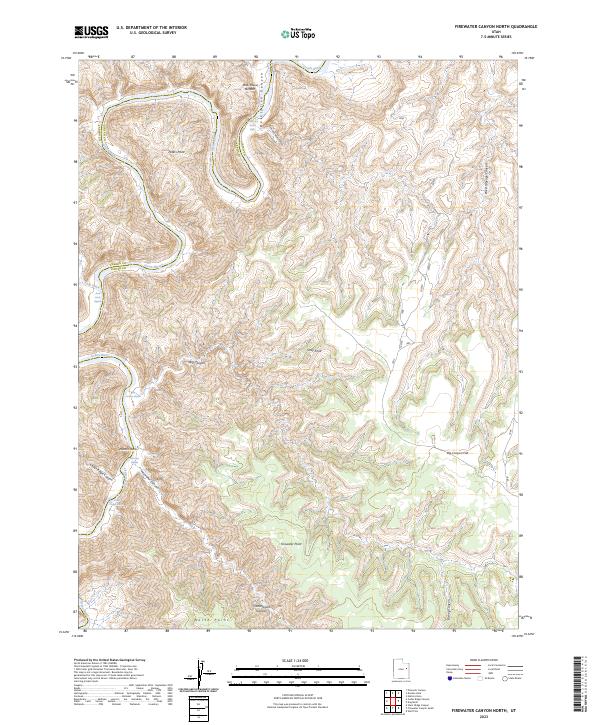
2023 Firewater Canyon North
Uintah County, UT
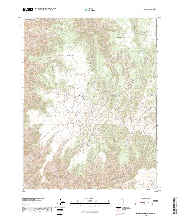
2023 Firewater Canyon South
Uintah County, UT
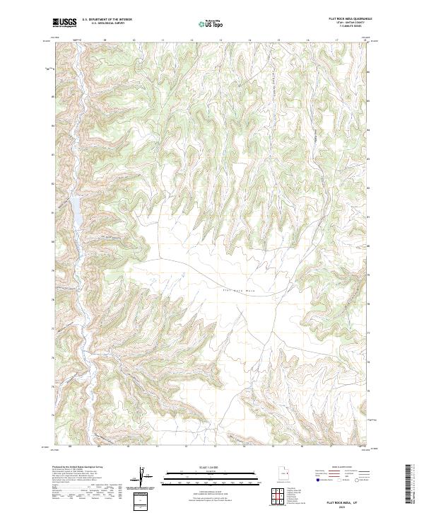
2023 Flat Rock Mesa
Uintah County, UT
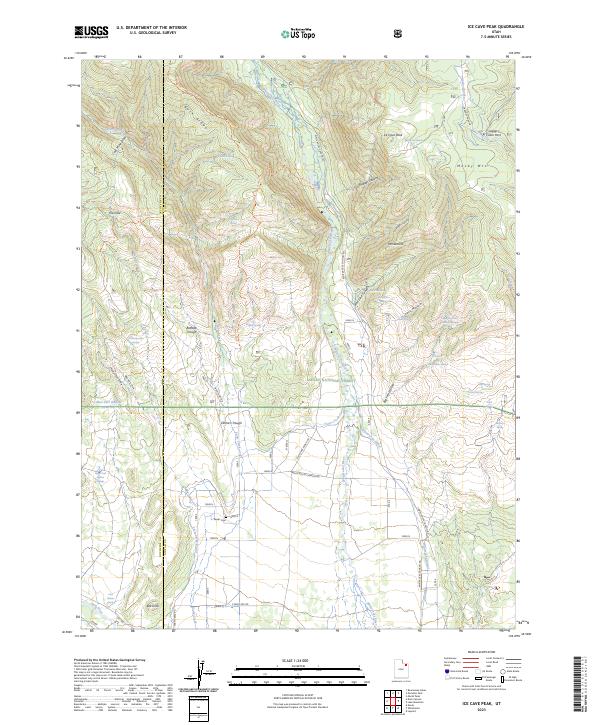
2023 Ice Cave Peak
Uintah County, UT
2023 Island Park
Uintah County, UT
2023 Jackson Draw
Uintah County, UT
2023 Jensen Ridge
Uintah County, UT
2023 Jones Hole
Uintah County, UT
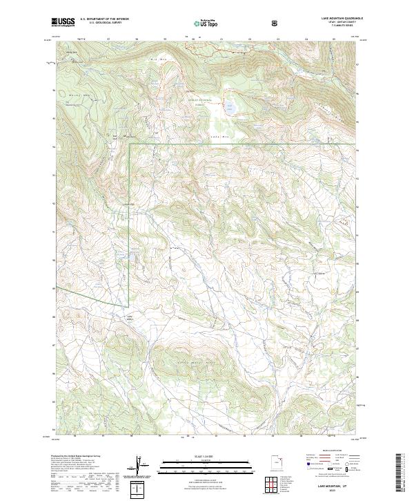
2023 Lake Mountain
Uintah County, UT
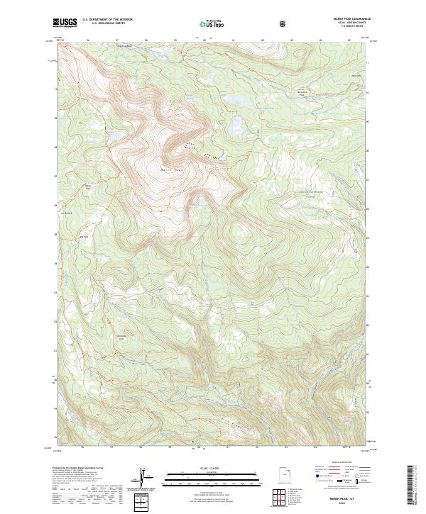
2023 Marsh Peak
Uintah County, UT
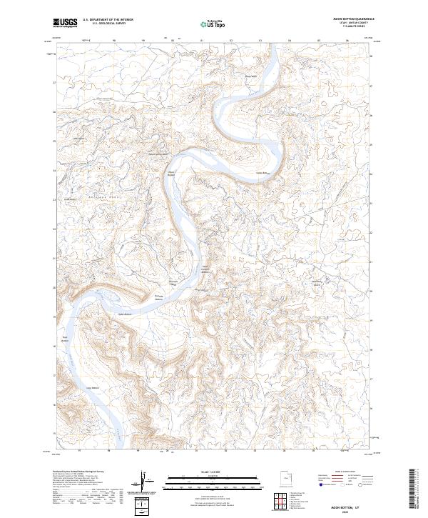
2023 Moon Bottom
Uintah County, UT
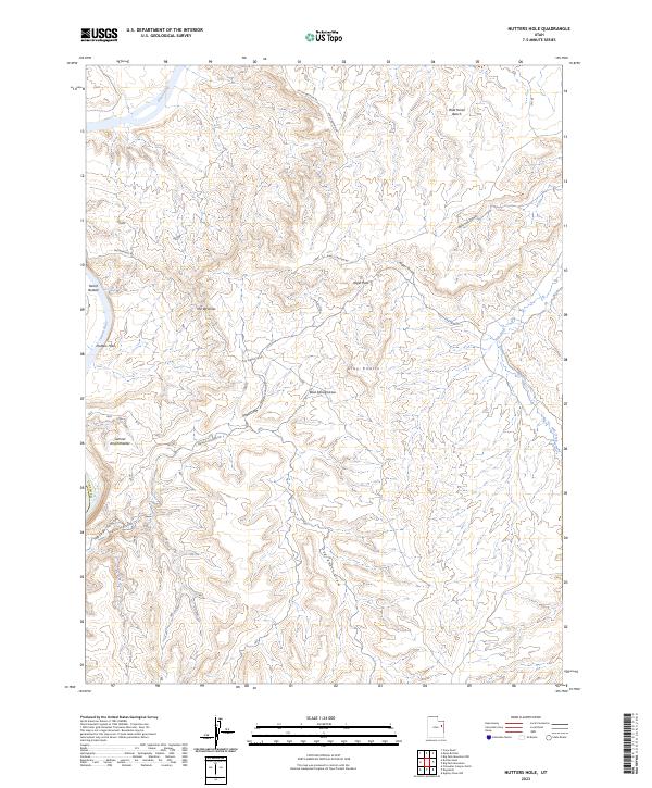
2023 Nutters Hole
Uintah County, UT
2023 Ouray SE
Uintah County, UT
2023 Ouray
Uintah County, UT
2023 Paradise Park
Uintah County, UT
2023 Pariette Draw SW
Uintah County, UT
2023 Pelican Lake
Uintah County, UT
2023 Pine Spring Canyon
Uintah County, UT
2023 Rainbow
Uintah County, UT
2023 Rasmussen Hollow
Uintah County, UT
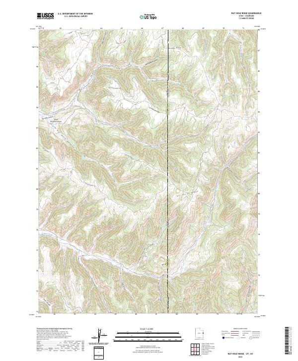
2023 Rat Hole Ridge
Uintah County, UT
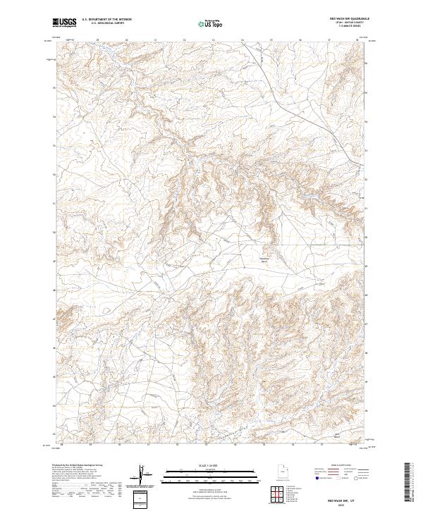
2023 Red Wash NW
Uintah County, UT
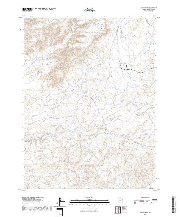
2023 Red Wash SE
Uintah County, UT
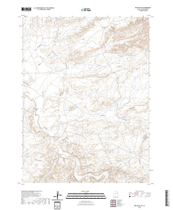
2023 Red Wash SW
Uintah County, UT
2023 Red Wash
Uintah County, UT
2023 Seep Canyon
Uintah County, UT
2023 Snake John Reef
Uintah County, UT
2023 Southam Canyon
Uintah County, UT
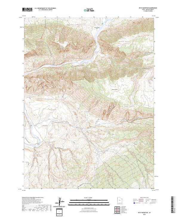
2023 Split Mountain
Uintah County, UT
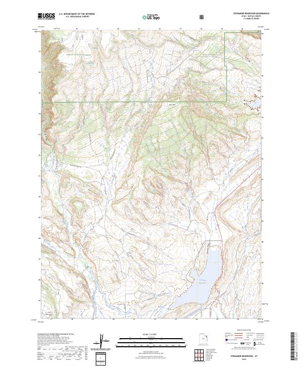
2023 Steinaker Reservoir
Uintah County, UT
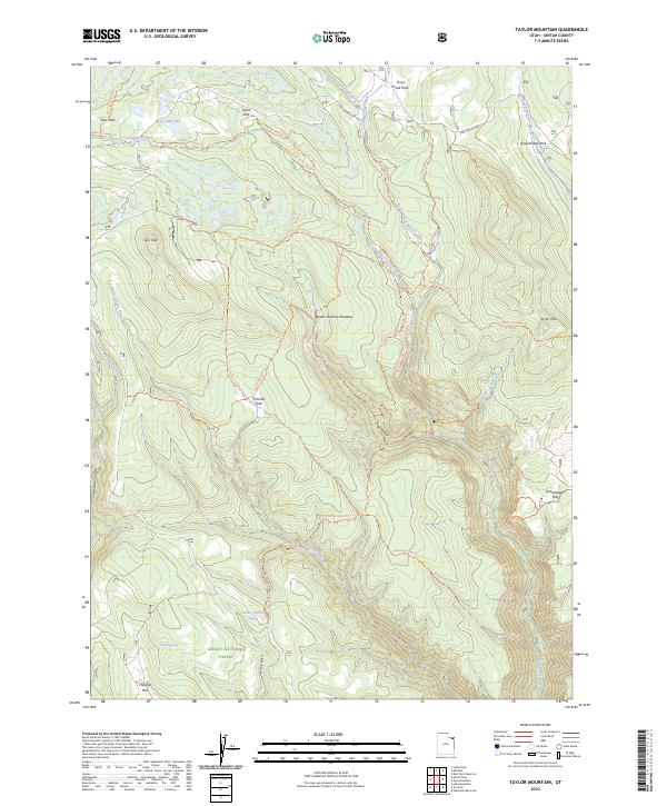
2023 Taylor Mountain
Uintah County, UT
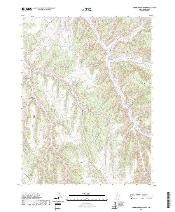
2023 Tom Patterson Canyon
Uintah County, UT
2023 Uteland Butte
Uintah County, UT
2023 Vernal NE
Uintah County, UT
2023 Vernal NW
Uintah County, UT
2023 Vernal SE
Uintah County, UT
2023 Vernal SW
Uintah County, UT
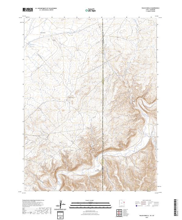
2023 Walsh Knolls
Uintah County, UT
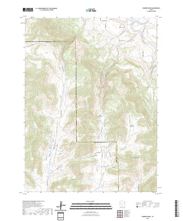
2023 Warren Draw
Uintah County, UT
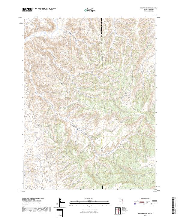
2023 Weaver Ridge
Uintah County, UT
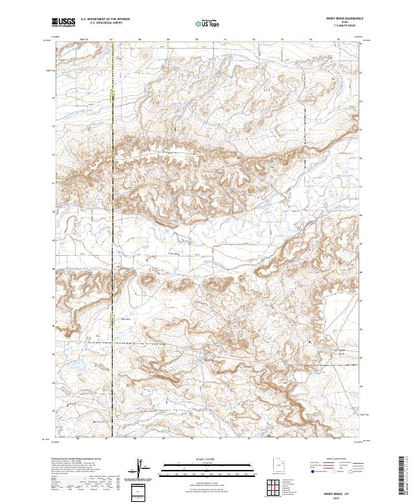
2023 Windy Ridge
Uintah County, UT
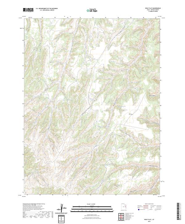
2023 Wolf Flat
Uintah County, UT
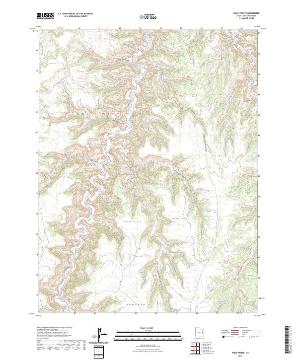
2023 Wolf Point
Uintah County, UT