
Loading...
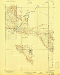
Loading map...1907 Map of Jensen
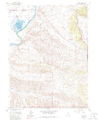
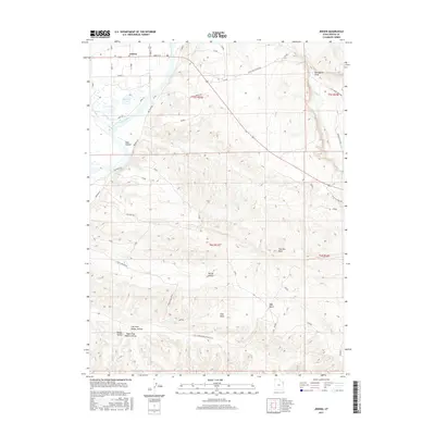
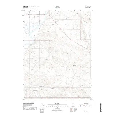
USGS Topo · Published 1957About this map
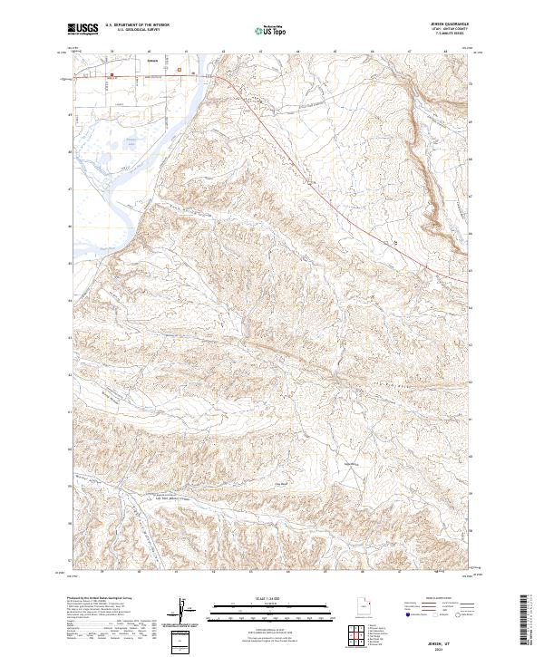
The Green River carves through the heart of this 1907 survey, defining the rugged geography of the Utah and Colorado borderlands before the era of modern water management. The small settlement of Jensen serves as a vital crossing point, anchored by a Ferry that linked the regional trails. Further west, the growing community of Vernal occupies the Ashley Valley, supported by the waters of Ashley Creek.
Find a feature on this map
27 named features on this map. Tap any name to fly to it.
Don’t see what you’re looking for? This feature index may not catch every label — zoom into the map to look around manually.
Map Details
Date Portrayed1907
Date Published1957
PublisherU.S. Geological Survey
Map TypeTopographic
Scale1:125,000
Physical Dimensions17 x 21.8 inches
Editions of this 1907 Jensen Map
This is the sole edition of this map. No revisions or reprints were ever made.
Historical Maps of Vernal Through Time
8 maps found
Featured Locations
Source Details
SourceU.S. Geological Survey
CopyrightPublic Domain