
1954 Map of Canyon of Lodore South
USGS Topo · Published 1955About this map
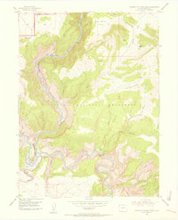
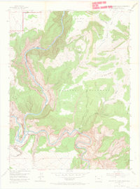
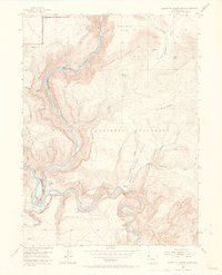
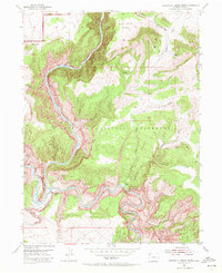
Green River and Yampa River converge in this mid-century survey of the high desert of Moffat County, dominated by the deep incisions of the Canyon of Lodore. This area within Dinosaur National Monument is defined by dramatic geological features such as the towering Steamboat Rock and the treacherous rapids of Hells Half Mile and Triplet Falls. Remote human activity is recorded through scattered landmarks like Massey Cabin and Buffham Place, which suggest the sparse ranching and exploration history of the basin. The landscape is a network of ridges and draws, including Iron Mine Ridge and Limestone Ridge, while freshwater sources such as Chokecherry Spring and Warm Springs provide vital points in an otherwise arid terrain. The map also captures local lore and geography at Echo Park (Pats Hole) and the iconic Jenny Lind Rock.
Find a feature on this map
36 named features on this map. Tap any name to fly to it.
Don’t see what you’re looking for? This feature index may not catch every label — zoom into the map to look around manually.
Map Details
Editions of this 1954 Canyon of Lodore South Map
5 editions found
Other maps of this area

1885 · Ashley
USGS Topo · 1:250,000

1907 · Rangely
USGS Topo · 1:125,000

1907 · Jensen
USGS Topo · 1:125,000

1910 · Jensen
USGS Topo · 1:125,000

1910 · Rangely
USGS Topo · 1:125,000

1954 · Hells Canyon
USGS Topo · 1:24,000

1954 · Canyon of Lodore North
USGS Topo · 1:24,000

1954 · Vernal
USGS Topo · 1:250,000

1955 · Stuntz Reservoir
USGS Topo · 1:24,000

1955 · Jones Hole
USGS Topo · 1:24,000