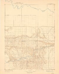
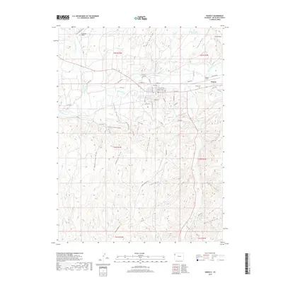
1907 Map of Rangely
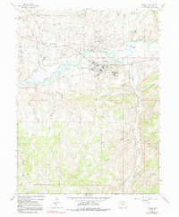
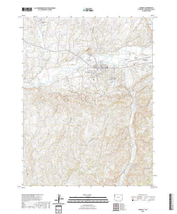
USGS Topo · Published 1955About this map
The White River and Yampa River define the hydraulic character of this western Colorado landscape as it appeared during the 1907 survey. Near the southern edge, the settlement of Rangely sits at the base of Raven Park, surrounded by a complex system of drainage and relief including Raven Ridge and the prominent Cathedral Bluffs. This early reconnaissance mapping by Hoyt S. Gale captures the high desert topography before the arrival of modern infrastructure, noting several isolated frontier outposts like Angora, Boxelder, and Three Springs. To the north, the terrain rises toward the Blue Mountain upland, which straddles the Moffat Co Rio Blanco Co Boundary Line. The presence of ephemeral drainages such as Stinking Creek, Skull Creek, and Red Wash illustrates the arid nature of the region's geography at the turn of the century.
Find a feature on this map
17 named features on this map. Tap any name to fly to it.
Don’t see what you’re looking for? This feature index may not catch every label — zoom into the map to look around manually.
Map Details
Editions of this 1907 Rangely Map
This is the sole edition of this map. No revisions or reprints were ever made.
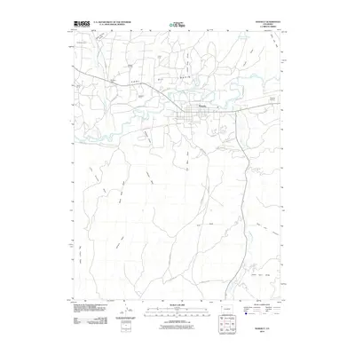
Historical Maps of Rangely Through Time
9 maps found