
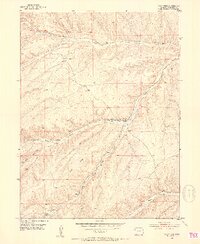
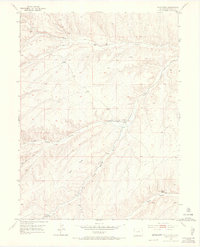
1952 Map of Wolf Ridge
USGS Topo · Published 1953About this map
Wolf Ridge and the surrounding high plateau of Rio Blanco County are defined by a network of drainage gulches and intermittent water sources as they appeared in the early 1950s. The landscape is marked by the infrastructure of western ranching, featuring the 84 Ranch and Square S Ranch, alongside essential water management tools like a Flume, Ditch, and several Well sites. These features suggest a concentrated effort to manage water in a semiarid environment where life centered on the seasonal flows of Yellow Creek and Duck Creek.
Find a feature on this map
22 named features on this map. Tap any name to fly to it.
Don’t see what you’re looking for? This feature index may not catch every label — zoom into the map to look around manually.
Map Details
Editions of this 1952 Wolf Ridge Map
7 editions found
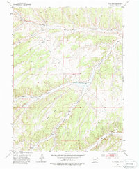
Other maps of this area

1907 · Rangely
USGS Topo · 1:125,000

1907 · White River
USGS Topo · 1:125,000

1910 · White River
USGS Topo · 1:125,000

1910 · Rangely
USGS Topo · 1:125,000

1952 · Yankee Gulch
USGS Topo · 1:24,000

1952 · Rock School
USGS Topo · 1:24,000

1952 · Square S Ranch
USGS Topo · 1:24,000

1954 · Vernal
USGS Topo · 1:250,000

1956 · Grand Junction
USGS Topo · 1:250,000

1958 · Vernal
USGS Topo · 1:250,000