
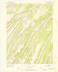
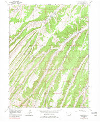
1952 Map of Yankee Gulch
USGS Topo · Published 1954About this map
Duckett Ranch and Reigle Ranch are the primary points of settlement in this remote Colorado landscape, surveyed in the early 1950s. The terrain is defined by an intricate network of drainages and ridges, where the long Wagon Road follows the height of land above Wagonroad Gulch and Swizer Gulch. This alignment demonstrates a typical early-century reliance on topographic features to navigate the high country, avoiding the steep descents into valleys like Yankee Gulch or Black Sulphur Creek. A few isolated indicators of human activity, such as a Windmill and a mining Stake, suggest the precarious nature of agriculture and prospecting in the Rio Blanco region. Surveyors from the Geological Survey utilized triangulation points like VABM Boies and VABM Fuzzy to chart this complex topography of canyons and high ridges.
Find a feature on this map
21 named features on this map. Tap any name to fly to it.
Don’t see what you’re looking for? This feature index may not catch every label — zoom into the map to look around manually.
Map Details
Editions of this 1952 Yankee Gulch Map
6 editions found
Other maps of this area

1929 · Highmore
USGS Topo · 1:62,500

1952 · Wolf Ridge
USGS Topo · 1:24,000

1952 · Rock School
USGS Topo · 1:24,000

1952 · Square S Ranch
USGS Topo · 1:24,000

1956 · Grand Junction
USGS Topo · 1:250,000

1959 · Grand Junction
USGS Topo · 1:250,000

1960 · Grand Junction
USGS Topo · 1:250,000

1962 · Grand Junction
USGS Topo · 1:250,000

1964 · Grand Junction
USGS Topo · 1:250,000

1964 · Black Cabin Gulch
USGS Topo · 1:24,000