
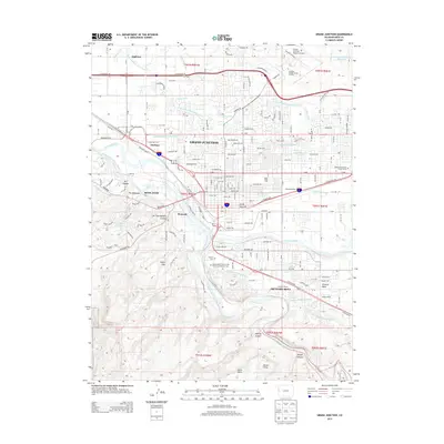
1964 Map of Grand Junction
USGS Topo · Published 1964About this map
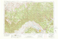
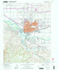
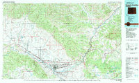
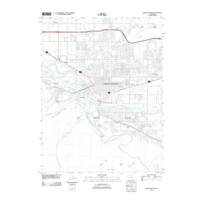
The Colorado River and Gunnison River converge at the heart of the Grand Valley, where the regional center of Grand Junction serves as a hub for the orchards and ranching of the Western Slope. This 1960s-era revision by the Army Map Service reveals the complex transportation network through the high desert and mesas, following the Denver and Rio Grande Western railroad corridor through Cameo and Fruita. To the north and west, the landscape is defined by the sharp escarpments of the Book Cliffs and Roan Cliffs, leading into the high plateaus of the Uintah Basin. Remote outposts like Atchee, Dragon, and Watson mark the legacy of narrow-gauge rail and mineral extraction in the borderlands. The geography transitions from the deep canyons of the Colorado National Monument to the timbered heights of the Grand Mesa National Forest, illustrating the varied terrain of the Colorado-Utah border.
Find a feature on this map
76 named features on this map. Tap any name to fly to it.
Don’t see what you’re looking for? This feature index may not catch every label — zoom into the map to look around manually.
Map Details
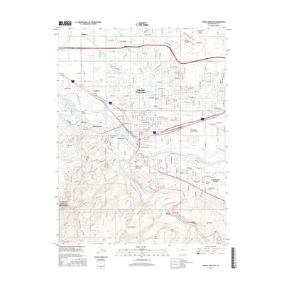
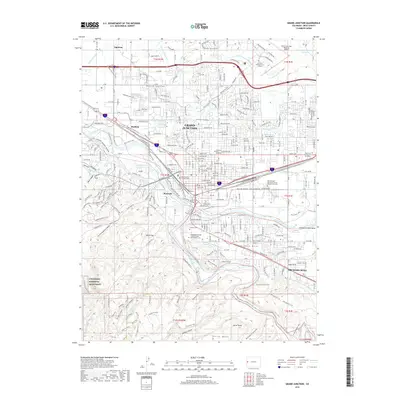
Editions of this 1964 Grand Junction Map
This is the sole edition of this map. No revisions or reprints were ever made.
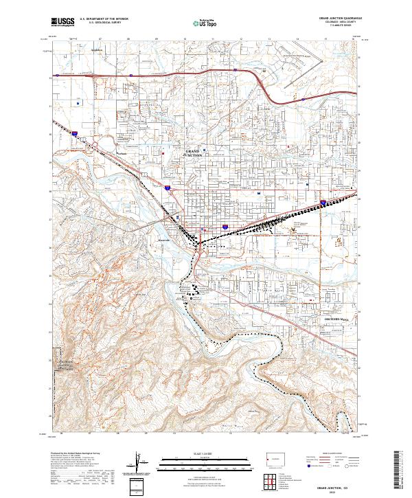
Historical Maps of Grand Junction Through Time
13 maps found
1956 Grand Junction
Mesa County, CO

1959 Grand Junction
Mesa County, CO

1960 Grand Junction
Mesa County, CO

1962 Grand Junction
Mesa County, CO
1962 Grand Junction
Mesa County, CO
1964 Grand Junction
Mesa County, CO

1965 Grand Junction
Mesa County, CO
1981 Grand Junction
Mesa County, CO
2010 Grand Junction
Mesa County, CO
2013 Grand Junction
Mesa County, CO
2016 Grand Junction
Mesa County, CO
2019 Grand Junction
Mesa County, CO
2022 Grand Junction
Mesa County, CO