
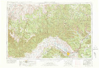
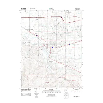
1962 Map of Grand Junction
USGS Topo · Published 1962About this map
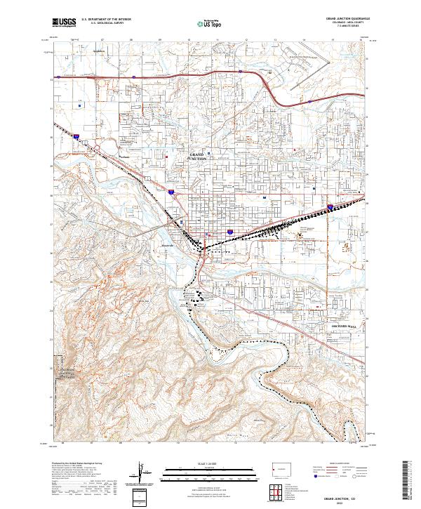
Grand Junction serves as the primary hub at the confluence of the Colorado River and the Denver and Rio Grande Western RR, anchor points for the agricultural development of the valley. This mid-century survey illustrates the vital irrigation network supporting local orchards and fields, featuring the Government Highline Canal and the Grand Valley Canal. The landscape transitions sharply from the irrigated lowlands near Fruita and Loma to the towering elevations of the Book Cliffs and Roan Cliffs. To the south, the protected terrain of Colorado National Monument overlooks the settlement corridor, while the Grand Mesa National Forest dominates the eastern horizon. Remote outposts such as Watson and Dragon are documented near the border, connected by the high desert reaches of Evacuation Creek.
Find a feature on this map
52 named features on this map. Tap any name to fly to it.
Don’t see what you’re looking for? This feature index may not catch every label — zoom into the map to look around manually.
Map Details
Editions of this 1962 Grand Junction Map
This is the sole edition of this map. No revisions or reprints were ever made.
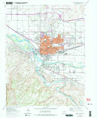
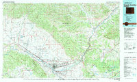
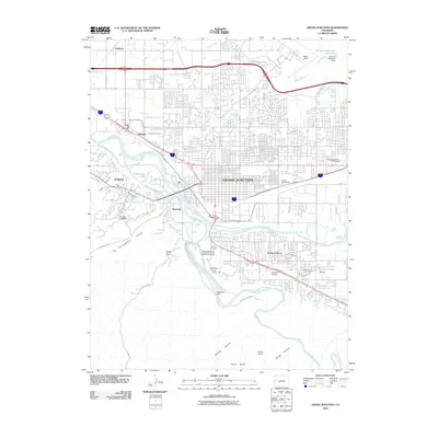
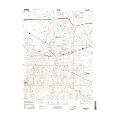
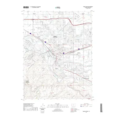
Historical Maps of Grand Junction Through Time
13 maps found
1956 Grand Junction
Mesa County, CO

1959 Grand Junction
Mesa County, CO

1960 Grand Junction
Mesa County, CO
1962 Grand Junction
Mesa County, CO
1962 Grand Junction
Mesa County, CO

1964 Grand Junction
Mesa County, CO

1965 Grand Junction
Mesa County, CO
1981 Grand Junction
Mesa County, CO
2010 Grand Junction
Mesa County, CO
2013 Grand Junction
Mesa County, CO
2016 Grand Junction
Mesa County, CO
2019 Grand Junction
Mesa County, CO
2022 Grand Junction
Mesa County, CO