
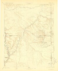
1885 Map of La Sal
USGS Topo · Published 1885About this map
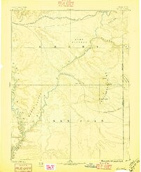
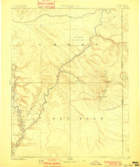
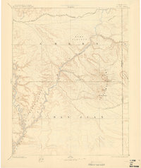
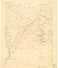
The Green River carves its way through the southwestern portion of this 1885 survey, winding through the depths of Stillwater Canyon and Cataract Canyon beneath the towering Orange Cliffs. This era of exploration, documented by the work of J.W. Powell and Hayden, captures a fledgling Moab and the nearby settlement of Plainfield within the fertile Spanish Valley. To the east, the massive peaks of the La Sal Mountains, including Mt Peale and Mt Waas, dominate the horizon above the La Sal settlement.
Find a feature on this map
25 named features on this map. Tap any name to fly to it.
Don’t see what you’re looking for? This feature index may not catch every label — zoom into the map to look around manually.
Map Details
Editions of this 1885 La Sal Map
6 editions found
Other maps of this area

1885 · San Rafael
USGS Topo · 1:250,000

1885 · East Tavaputs
USGS Topo · 1:250,000

1886 · Henry Mountains
USGS Topo · 1:250,000

1886 · Price River
USGS Topo · 1:250,000

1886 · Abajo
USGS Topo · 1:250,000

1892 · Abajo
USGS Topo · 1:250,000

1892 · Henry Mountains
USGS Topo · 1:250,000

1893 · Abajo
USGS Topo · 1:250,000

1896 · Price River
USGS Topo · 1:250,000

1916 · Paradox Valley
USGS Topo · 1:125,000