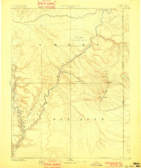
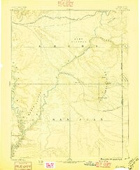
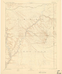
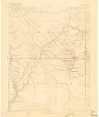
1885 Map of La Sal
USGS Topo · Published 1901About this map
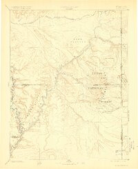
Moab and the short-lived settlement of Plainfield occupy the central corridor of this late nineteenth-century reconnaissance, where the Grand River carves through the red rock landscape of southeastern Utah. This survey, based on work by the Hayden and Powell expeditions, captures the region before the modern designation of its national parks, focusing instead on the vital river systems and the soaring peaks of the La Sal Mountains. To the north, the Denver and Rio Grande Western Railroad skirts the edge of the Dome Plateau, providing the primary industrial link for this territory.
Find a feature on this map
25 named features on this map. Tap any name to fly to it.
Don’t see what you’re looking for? This feature index may not catch every label — zoom into the map to look around manually.
Map Details
Editions of this 1885 La Sal Map
6 editions found
Other maps of this area

1885 · San Rafael
USGS Topo · 1:250,000

1885 · East Tavaputs
USGS Topo · 1:250,000

1885 · La Sal
USGS Topo · 1:250,000

1886 · Henry Mountains
USGS Topo · 1:250,000

1886 · Price River
USGS Topo · 1:250,000

1886 · Abajo
USGS Topo · 1:250,000

1892 · Abajo
USGS Topo · 1:250,000

1892 · Henry Mountains
USGS Topo · 1:250,000

1893 · Abajo
USGS Topo · 1:250,000

1896 · Price River
USGS Topo · 1:250,000