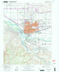
1962 Map of Grand Junction
USGS Topo · Published 1975About this map
The confluence of the Colorado River and Gunnison River serves as the focal point for this mid-century western Colorado survey. The city of Grand Junction is shown in transition, with established downtown grids centered on Main St and the Courthouse expanding into residential and industrial developments. Notable infrastructure of the era includes Walker Field to the north and the expansive Denver and Rio Grande Western rail lines that fueled the local economy.
Find a feature on this map
81 named features on this map. Tap any name to fly to it.
Don’t see what you’re looking for? This feature index may not catch every label — zoom into the map to look around manually.
Map Details
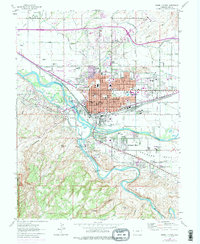
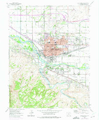
Editions of this 1962 Grand Junction Map
4 editions found

Other maps of this area

1934 · Colorado National Monument
USGS Topo · 1:24,000

1956 · Moab
USGS Topo · 1:250,000

1956 · Grand Junction
USGS Topo · 1:250,000

1959 · Grand Junction
USGS Topo · 1:250,000

1959 · Moab
USGS Topo · 1:250,000

1960 · Moab
USGS Topo · 1:250,000

1960 · Grand Junction
USGS Topo · 1:250,000

1962 · Moab
USGS Topo · 1:250,000

1962 · Grand Junction
USGS Topo · 1:250,000

1962 · Fruita
USGS Topo · 1:24,000