
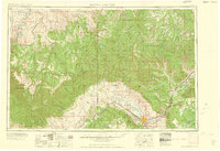
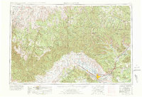
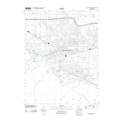
1960 Map of Grand Junction
USGS Topo · Published 1960About this map
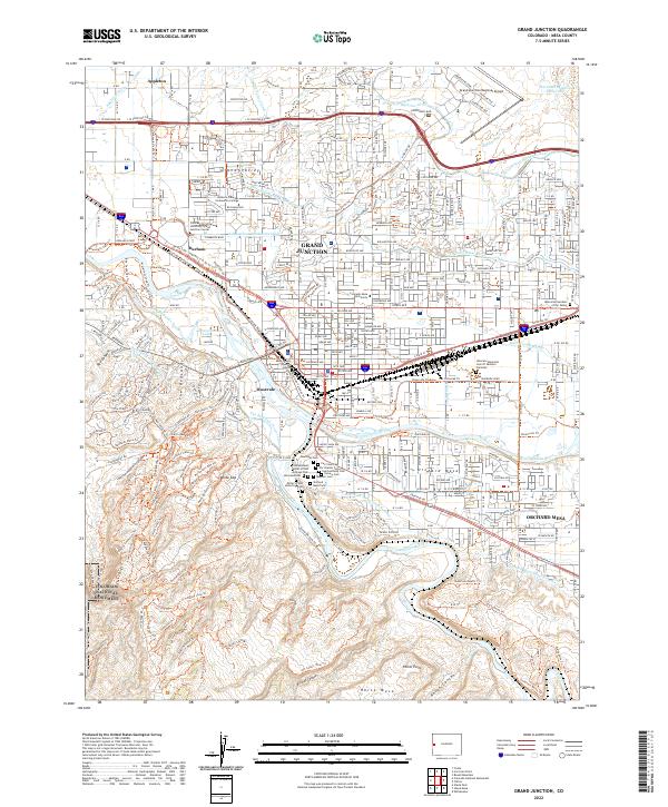
The Colorado National Monument rises south of the Colorado River, overlooking the river-valley settlements of Fruita, Loma, and Grand Junction. This 1960 survey documents a landscape defined by the intersection of agricultural development and industrial infrastructure during the mid-century uranium and oil shale era. To the north, the Roan Plateau and Book Cliffs dominate the terrain, where a dismantled railroad and early extraction efforts, such as Oil (abandoned) sites, mark the rugged transition between the high desert and the White River National Forest.
Find a feature on this map
147 named features on this map. Tap any name to fly to it.
Don’t see what you’re looking for? This feature index may not catch every label — zoom into the map to look around manually.
Map Details
Editions of this 1960 Grand Junction Map
2 editions found
Historical Maps of Grand Junction Through Time
13 maps found
1956 Grand Junction
Mesa County, CO

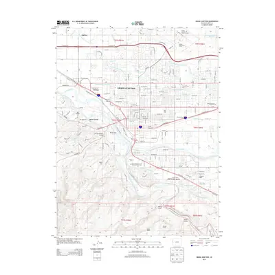
1959 Grand Junction
Mesa County, CO
1960 Grand Junction
Mesa County, CO

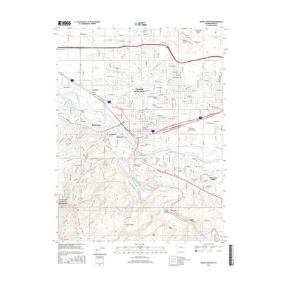
1962 Grand Junction
Mesa County, CO
1962 Grand Junction
Mesa County, CO

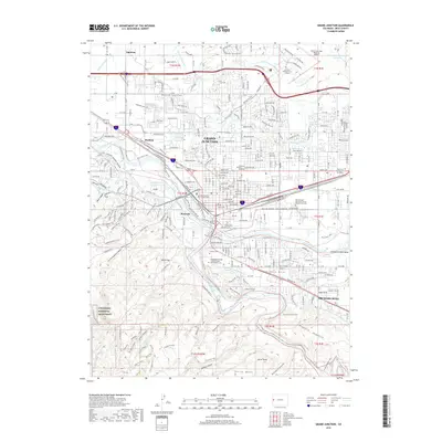
1964 Grand Junction
Mesa County, CO

1965 Grand Junction
Mesa County, CO
1981 Grand Junction
Mesa County, CO
2010 Grand Junction
Mesa County, CO
2013 Grand Junction
Mesa County, CO
2016 Grand Junction
Mesa County, CO
2019 Grand Junction
Mesa County, CO
2022 Grand Junction
Mesa County, CO