
1962 Map of Fruita
USGS Topo · Published 1964About this map
The agricultural grid of the Grand Valley defines this 1962 landscape, centered on the growing town of Fruita. Irrigation infrastructure is central to the area's development, with the Grand Valley Canal, Government Highline Canal, and Ranchmens Ditch branching across the valley floor to manage water from the Colorado River. Transport and industry follow the water and rails, with the Denver and Rio Grande Western Railroad cutting diagonally through the town center past a local High Sch and Roadside Park. Farther afield, the map documents smaller rural hubs like the Enterprise Community Center and Rhone, alongside essential local landmarks such as Elmwood Cem and the Sacred Heart Cem. The terrain shifts abruptly from the flat, canal-fed valley floor into the dissected uplands of Kodels Canyon, illustrating the sharp boundary between irrigated farmland and the arid plateau.
Find a feature on this map
29 named features on this map. Tap any name to fly to it.
Don’t see what you’re looking for? This feature index may not catch every label — zoom into the map to look around manually.
Map Details
Editions of this 1962 Fruita Map
4 editions found
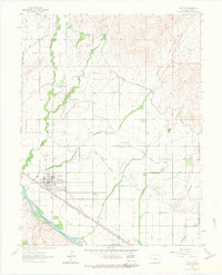
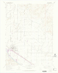
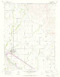
Other maps of this area

1934 · Colorado National Monument
USGS Topo · 1:24,000

1956 · Grand Junction
USGS Topo · 1:250,000

1959 · Grand Junction
USGS Topo · 1:250,000

1960 · Grand Junction
USGS Topo · 1:250,000

1962 · Grand Junction
USGS Topo · 1:250,000

1962 · Mack
USGS Topo · 1:24,000

1962 · Colorado National Monument
USGS Topo · 1:24,000
1962 · Battleship Rock
USGS Topo · 1:24,000

1962 · Grand Junction
USGS Topo · 1:24,000

1962 · Corcoran Point
USGS Topo · 1:24,000