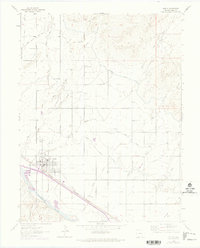
1962 Map of Fruita
USGS Topo · Published 1975About this map
Fruita sits at the heart of a complex hydraulic landscape, where the agricultural economy is defined by a dense network of irrigation works. The Grand Valley Canal, Government Highline Canal, and Independent Ranchmens Ditch represent the critical infrastructure that transformed this arid terrain near the Colorado River into productive farmland. Community life in the early 1960s was anchored by the Fruita High Sch, while outlying rural social hubs like the Star Community Center and Enterprise Community Center provided focal points for the surrounding families.
Find a feature on this map
29 named features on this map. Tap any name to fly to it.
Don’t see what you’re looking for? This feature index may not catch every label — zoom into the map to look around manually.
Map Details
Editions of this 1962 Fruita Map
4 editions found
Other maps of this area

1934 · Colorado National Monument
USGS Topo · 1:24,000

1956 · Grand Junction
USGS Topo · 1:250,000

1959 · Grand Junction
USGS Topo · 1:250,000

1960 · Grand Junction
USGS Topo · 1:250,000

1962 · Grand Junction
USGS Topo · 1:250,000

1962 · Fruita
USGS Topo · 1:24,000

1962 · Mack
USGS Topo · 1:24,000

1962 · Colorado National Monument
USGS Topo · 1:24,000
1962 · Battleship Rock
USGS Topo · 1:24,000

1962 · Grand Junction
USGS Topo · 1:24,000