
1959 Map of Grand Junction
USGS Topo · Published 1959About this map
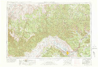
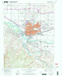
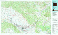
The Colorado River corridor serves as the primary artery for settlement and agriculture in this late 1950s survey, anchoring the growing hub of Grand Junction. Irrigation infrastructure, including the Government Highline Canal and Grand Valley Canal, facilitates farming around Fruita and Fruitvale, while the Denver and Rio Grande Western RR follows the river's path westward toward Mack.
Find a feature on this map
83 named features on this map. Tap any name to fly to it.
Don’t see what you’re looking for? This feature index may not catch every label — zoom into the map to look around manually.
Map Details
Editions of this 1959 Grand Junction Map
This is the sole edition of this map. No revisions or reprints were ever made.
Historical Maps of Grand Junction Through Time
13 maps found
1956 Grand Junction
Mesa County, CO
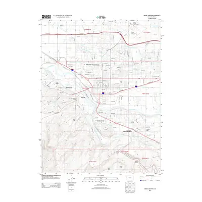
1959 Grand Junction
Mesa County, CO

1960 Grand Junction
Mesa County, CO

1962 Grand Junction
Mesa County, CO
1962 Grand Junction
Mesa County, CO

1964 Grand Junction
Mesa County, CO

1965 Grand Junction
Mesa County, CO
1981 Grand Junction
Mesa County, CO
2010 Grand Junction
Mesa County, CO
2013 Grand Junction
Mesa County, CO
2016 Grand Junction
Mesa County, CO
2019 Grand Junction
Mesa County, CO
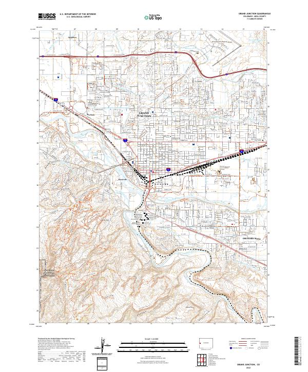
2022 Grand Junction
Mesa County, CO