
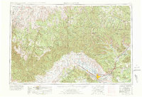
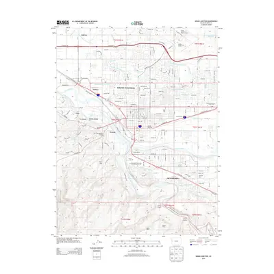
1956 Map of Grand Junction
USGS Topo · Published 1973About this map
The Colorado River and Plateau Creek converge at the foot of the Book Cliffs, anchoring a network of agricultural and industrial settlements in the Grand Valley. This 1956 survey, revised in 1969, illustrates a landscape defined by the Roan Cliffs and the expansive Tavaputs Plateau, where the transition from high mesa terrain to river-bottom orchards is clearly visible. The Denver & Rio Grande Western RR follows the river corridor, connecting Grand Junction to outlying communities like Loma, Fruita, and Cameo.
Find a feature on this map
95 named features on this map. Tap any name to fly to it.
Don’t see what you’re looking for? This feature index may not catch every label — zoom into the map to look around manually.
Map Details
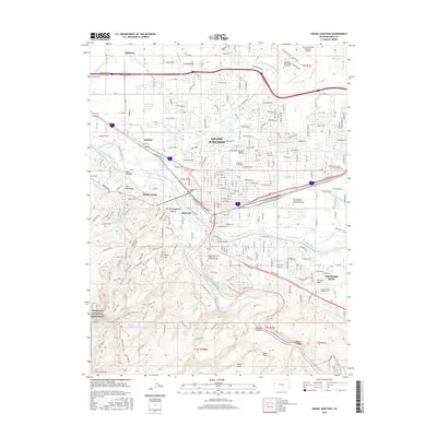
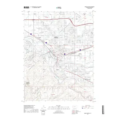
Editions of this 1956 Grand Junction Map
2 editions found
Historical Maps of Grand Junction Through Time
13 maps found
1956 Grand Junction
Mesa County, CO

1959 Grand Junction
Mesa County, CO

1960 Grand Junction
Mesa County, CO

1962 Grand Junction
Mesa County, CO
1962 Grand Junction
Mesa County, CO

1964 Grand Junction
Mesa County, CO

1965 Grand Junction
Mesa County, CO
1981 Grand Junction
Mesa County, CO
2010 Grand Junction
Mesa County, CO
2013 Grand Junction
Mesa County, CO
2016 Grand Junction
Mesa County, CO
2019 Grand Junction
Mesa County, CO
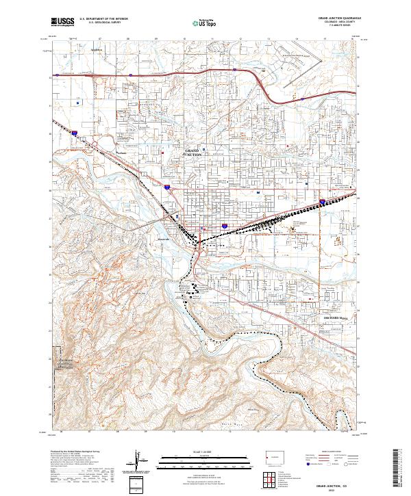
2022 Grand Junction
Mesa County, CO