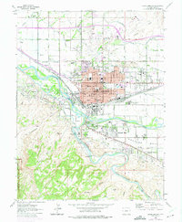
1962 Map of Grand Junction
USGS Topo · Published 1975About this map
The confluence of the Colorado River and the Gunnison River defines the landscape of Grand Junction in the mid-1960s. This survey, updated with 1970s revisions, shows a city expanding through irrigation and industrial development. The AEC Grand Junction Compound sits at the river junction, highlighting the importance of the nuclear era to the local economy, while the Denver and Rio Grande Western railroad maintains its footprint through the urban core. To the north and south, the valley is segmented by an intricate network of water infrastructure, including the Grand Valley Canal and Price Ditch, which support agricultural pockets like Appleton and Leach. Higher ground is marked by Orchard Mesa and the residential growth near Walker Field. The map also identifies several medical and social institutions such as the Veterans Hospital and the State Home and Training Sch.
Find a feature on this map
75 named features on this map. Tap any name to fly to it.
Don’t see what you’re looking for? This feature index may not catch every label — zoom into the map to look around manually.
Map Details
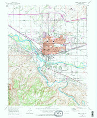
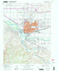
Editions of this 1962 Grand Junction Map
4 editions found

Other maps of this area

1934 · Colorado National Monument
USGS Topo · 1:24,000

1956 · Moab
USGS Topo · 1:250,000

1956 · Grand Junction
USGS Topo · 1:250,000

1959 · Grand Junction
USGS Topo · 1:250,000

1959 · Moab
USGS Topo · 1:250,000

1960 · Moab
USGS Topo · 1:250,000

1960 · Grand Junction
USGS Topo · 1:250,000

1962 · Moab
USGS Topo · 1:250,000

1962 · Grand Junction
USGS Topo · 1:250,000

1962 · Fruita
USGS Topo · 1:24,000