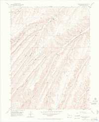
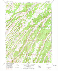
1952 Map of Yankee Gulch
USGS Topo · Published 1969About this map
Reigle Ranch and Duckett Ranch stand as the primary centers of human activity in this drainage-carved landscape of the Piceance Basin. Surveyed shortly after World War II, the map reveals a rugged ranching economy defined by intermittent water sources and a network of deep gulches, including Yankee Gulch and Ryan Gulch. The presence of the Shale Test Well near the southern boundary points to early industrial interest in the region's energy resources, predating modern large-scale extraction.
Find a feature on this map
24 named features on this map. Tap any name to fly to it.
Don’t see what you’re looking for? This feature index may not catch every label — zoom into the map to look around manually.
Map Details
Editions of this 1952 Yankee Gulch Map
6 editions found
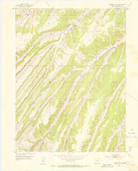
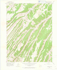
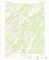
Other maps of this area

1929 · Highmore
USGS Topo · 1:62,500

1952 · Wolf Ridge
USGS Topo · 1:24,000

1952 · Yankee Gulch
USGS Topo · 1:24,000

1952 · Rock School
USGS Topo · 1:24,000

1952 · Square S Ranch
USGS Topo · 1:24,000

1956 · Grand Junction
USGS Topo · 1:250,000

1959 · Grand Junction
USGS Topo · 1:250,000

1960 · Grand Junction
USGS Topo · 1:250,000

1962 · Grand Junction
USGS Topo · 1:250,000

1964 · Grand Junction
USGS Topo · 1:250,000