
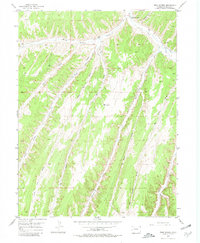
1952 Map of Rock School
USGS Topo · Published 1954About this map
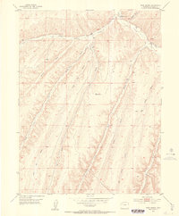
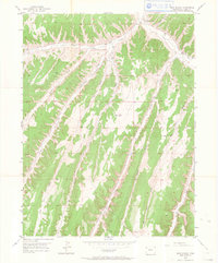
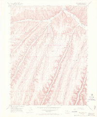
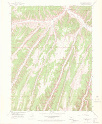
Rock School serves as the focal point for this 1952 topographic study of the canyon-and-plateau country in Rio Blanco County. Situated along the winding course of Piceance Creek, the schoolhouse is the primary landmark in a landscape defined by an intricate network of drainages. To the west, Black Sulphur Creek and Eureka Creek carve through the high ground, while the southern reaches are dominated by the deep incisions of Hunter Creek and Big Jimmy Gulch.
Find a feature on this map
14 named features on this map. Tap any name to fly to it.
Don’t see what you’re looking for? This feature index may not catch every label — zoom into the map to look around manually.
Map Details
Editions of this 1952 Rock School Map
6 editions found
Other maps of this area

1925 · Parachute Creek
USGS Topo · 1:62,500

1927 · Parachute Creek
USGS Topo · 1:62,500

1929 · Highmore
USGS Topo · 1:62,500

1952 · Wolf Ridge
USGS Topo · 1:24,000

1952 · Yankee Gulch
USGS Topo · 1:24,000

1952 · Jessup Gulch
USGS Topo · 1:24,000

1952 · Greasewood Gulch
USGS Topo · 1:24,000

1952 · Square S Ranch
USGS Topo · 1:24,000

1956 · Grand Junction
USGS Topo · 1:250,000

1959 · Grand Junction
USGS Topo · 1:250,000