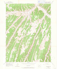
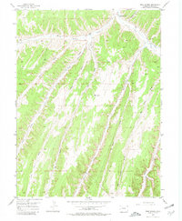
1952 Map of Rock School
USGS Topo · Published 1964About this map
Rock School sits at the northern edge of this Rio Blanco County landscape, overlooking the winding path of Piceance Creek. This 1952 field check documents a rugged drainage network where narrow canyons and steep gulches dictate the local geography. The confluence of Black Sulphur Creek and Piceance Creek provides a focal point for the scattered unimproved roads that navigate the complex terrain. The map captures the area as it was before significant modern industrial development, showing a land defined by natural watercourses like Eureka Creek and Fawn Creek. Researchers will find a high level of topographical detail across the drainage divides, including named features such as Hunter Creek and Little Dry Gulch. This survey serves as a vital record of the Piceance Basin's remote character during the mid-twentieth century.
Find a feature on this map
14 named features on this map. Tap any name to fly to it.
Don’t see what you’re looking for? This feature index may not catch every label — zoom into the map to look around manually.
Map Details
Editions of this 1952 Rock School Map
6 editions found
Other maps of this area

1925 · Parachute Creek
USGS Topo · 1:62,500

1927 · Parachute Creek
USGS Topo · 1:62,500

1929 · Highmore
USGS Topo · 1:62,500

1952 · Wolf Ridge
USGS Topo · 1:24,000

1952 · Yankee Gulch
USGS Topo · 1:24,000

1952 · Rock School
USGS Topo · 1:24,000

1952 · Jessup Gulch
USGS Topo · 1:24,000

1952 · Greasewood Gulch
USGS Topo · 1:24,000

1952 · Square S Ranch
USGS Topo · 1:24,000

1956 · Grand Junction
USGS Topo · 1:250,000