
1952 Map of Square S Ranch
USGS Topo · Published 1954About this map
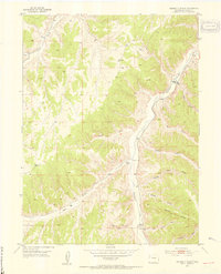
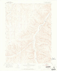
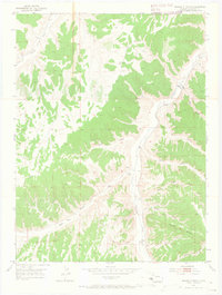
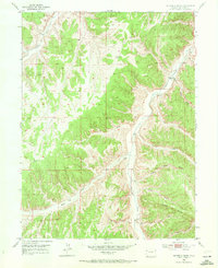
Piceance Creek winds through this 1952 topographic study, defining the drainage patterns of a landscape marked by deep gulches and high bluffs in Rio Blanco County. The Square S Ranch serves as the primary named settlement, situated near the confluence of Cole Gulch and the main creek. This map captures the region after the 1948 aerial surveys, illustrating a ranching landscape reliant on isolated water sources like the Windmill in the western hills and a Spring located at the head of a nameless draw.
Find a feature on this map
22 named features on this map. Tap any name to fly to it.
Don’t see what you’re looking for? This feature index may not catch every label — zoom into the map to look around manually.
Map Details
Editions of this 1952 Square S Ranch Map
5 editions found
Other maps of this area

1907 · White River
USGS Topo · 1:125,000

1910 · White River
USGS Topo · 1:125,000

1952 · Wolf Ridge
USGS Topo · 1:24,000

1952 · Yankee Gulch
USGS Topo · 1:24,000

1952 · Rock School
USGS Topo · 1:24,000

1952 · Jessup Gulch
USGS Topo · 1:24,000

1952 · Greasewood Gulch
USGS Topo · 1:24,000

1954 · Vernal
USGS Topo · 1:250,000

1956 · Grand Junction
USGS Topo · 1:250,000

1958 · Vernal
USGS Topo · 1:250,000