
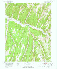
1952 Map of Jessup Gulch
USGS Topo · Published 1954About this map
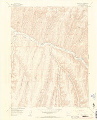
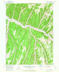
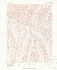
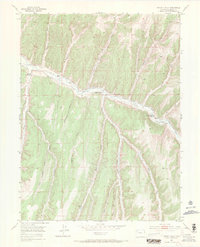
Piceance Creek meanders through this portion of Rio Blanco County, anchoring a landscape defined by isolated family ranches and complex drainage systems. Surveyed in the early 1950s, the map reveals the scattered settlement patterns of the region, including the Walter Oldland Ranch and the Gerald Oldland Ranch. The presence of the Stewart School at the confluence of several gulches indicates a small but established community center serving these remote holdings.
Find a feature on this map
25 named features on this map. Tap any name to fly to it.
Don’t see what you’re looking for? This feature index may not catch every label — zoom into the map to look around manually.
Map Details
Editions of this 1952 Jessup Gulch Map
6 editions found
Other maps of this area

1925 · Parachute Creek
USGS Topo · 1:62,500

1927 · Parachute Creek
USGS Topo · 1:62,500

1929 · Highmore
USGS Topo · 1:62,500

1952 · Rock School
USGS Topo · 1:24,000

1952 · Greasewood Gulch
USGS Topo · 1:24,000

1952 · Square S Ranch
USGS Topo · 1:24,000

1952 · No Name Ridge
USGS Topo · 1:24,000

1952 · Segar Mountain
USGS Topo · 1:24,000

1956 · Grand Junction
USGS Topo · 1:250,000

1959 · Grand Junction
USGS Topo · 1:250,000