
1952 Map of No Name Ridge
USGS Topo · Published 1954About this map
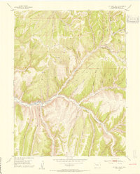
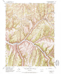
Piceance Creek cuts a vital path through this high-desert canyon country in Rio Blanco County, anchoring a series of family homesteads including Gubbins Ranch, Robinson Ranch, and Jones Ranch. This 1952 field-checked survey reveals an landscape defined by the emerging energy economy, with several Shale Prospects and a Gas Well located near Charley Earl Gulch. The terrain is characterized by deep drainage systems like Fourteenmile Creek and Thirteenmile Creek, which have carved out a complex network of ridges including No Name Ridge and Fourteenmile Ridge. High points such as VABM Oakland 7722 and Bald Knob provide triangulation markers for the rugged topography. The presence of early transportation routes like the Oldland Trail suggests the historical movement of livestock and people between the gulches and the high plateau during the mid-century period.
Find a feature on this map
76 named features on this map. Tap any name to fly to it.
Don’t see what you’re looking for? This feature index may not catch every label — zoom into the map to look around manually.
Map Details
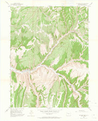
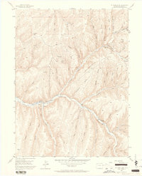
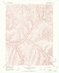
Editions of this 1952 No Name Ridge Map
6 editions found
Other maps of this area

1906 · Grand Hogback
USGS Topo · 1:125,000

1910 · Grand Hogback
USGS Topo · 1:125,000

1925 · Parachute Creek
USGS Topo · 1:62,500

1927 · Parachute Creek
USGS Topo · 1:62,500

1952 · Rio Blanco
USGS Topo · 1:24,000

1952 · Jessup Gulch
USGS Topo · 1:24,000

1952 · Greasewood Gulch
USGS Topo · 1:24,000

1952 · Segar Mountain
USGS Topo · 1:24,000

1956 · Grand Junction
USGS Topo · 1:250,000

1957 · Leadville
USGS Topo · 1:250,000