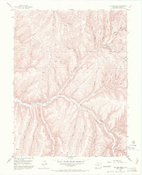
1952 Map of No Name Ridge
USGS Topo · Published 1972About this map
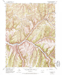
Piceance Creek winds through a landscape of deep canyons and prominent ridges in this 1952 topographic study of northwestern Colorado. The drainage pattern is exceptionally dense, defined by features like Fourteenmile Creek and Thirteenmile Creek, which feed into the main valley alongside numerous named gulches such as Story Gulch and Jacks Gulch. The settlement pattern is characterized by isolated homesteads and livestock operations, including Gubinc Ranch, Robinson Ranch, and Jones Ranch, situated along the narrow valley floors.
Find a feature on this map
55 named features on this map. Tap any name to fly to it.
Don’t see what you’re looking for? This feature index may not catch every label — zoom into the map to look around manually.
Map Details
Editions of this 1952 No Name Ridge Map
6 editions found
Other maps of this area

1906 · Grand Hogback
USGS Topo · 1:125,000

1910 · Grand Hogback
USGS Topo · 1:125,000

1925 · Parachute Creek
USGS Topo · 1:62,500

1927 · Parachute Creek
USGS Topo · 1:62,500

1952 · Rio Blanco
USGS Topo · 1:24,000

1952 · Jessup Gulch
USGS Topo · 1:24,000

1952 · Greasewood Gulch
USGS Topo · 1:24,000

1952 · No Name Ridge
USGS Topo · 1:24,000

1952 · Segar Mountain
USGS Topo · 1:24,000

1956 · Grand Junction
USGS Topo · 1:250,000