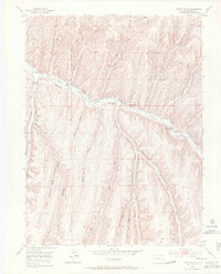
1952 Map of Jessup Gulch
USGS Topo · Published 1971About this map
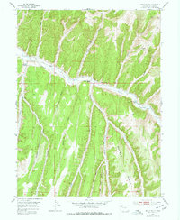
Piceance Creek carves a deep central valley through this high plateau country, serving as the primary corridor for ranching and transportation in the early 1950s. The landscape is defined by an intricate network of drainage systems, including Gardenhire Gulch, Collins Gulch, and the namesake Jessup Gulch, which feed into the main creek. Human presence is concentrated along these watercourses, evidenced by the Stewart School and several established family holdings such as the Walter Oldland Ranch and Gerald Oldland Ranch.
Find a feature on this map
26 named features on this map. Tap any name to fly to it.
Don’t see what you’re looking for? This feature index may not catch every label — zoom into the map to look around manually.
Map Details
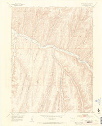
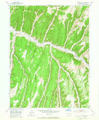
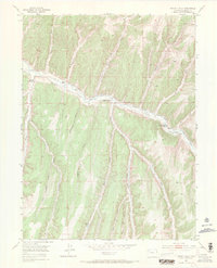
Editions of this 1952 Jessup Gulch Map
6 editions found
Other maps of this area

1925 · Parachute Creek
USGS Topo · 1:62,500

1927 · Parachute Creek
USGS Topo · 1:62,500

1929 · Highmore
USGS Topo · 1:62,500

1952 · Rock School
USGS Topo · 1:24,000

1952 · Jessup Gulch
USGS Topo · 1:24,000

1952 · Greasewood Gulch
USGS Topo · 1:24,000

1952 · Square S Ranch
USGS Topo · 1:24,000

1952 · No Name Ridge
USGS Topo · 1:24,000

1952 · Segar Mountain
USGS Topo · 1:24,000

1956 · Grand Junction
USGS Topo · 1:250,000