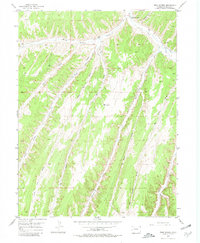
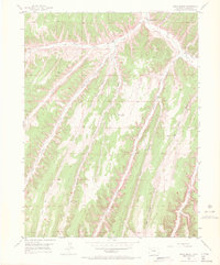
1952 Map of Rock School
USGS Topo · Published 1980About this map
Rock School stands as a primary landmark in this drainage-dominated landscape of Rio Blanco County, situated where the waters of Piceance Creek meet the surrounding hills. This 1952 field-checked survey illustrates a region defined by its complex network of watercourses and dry washes, including the significant confluence of Black Sulphur Creek and the long reaches of Big Hunter Gulch. The terrain is deeply incised by numerous named features such as Eureka Creek, Fawn Creek, and the parallel paths of Jimmy Gulch and Big Jimmy Gulch. This map provides a detailed view of the remote canyon country before modern infrastructure altered the rural character of these high-plateau drainages. Local researchers can trace the old road networks that follow the natural contours of Little Dry Gulch and Enoch Gulch, offering a clear picture of the land's utility and settlement patterns during the mid-twentieth century.
Find a feature on this map
15 named features on this map. Tap any name to fly to it.
Don’t see what you’re looking for? This feature index may not catch every label — zoom into the map to look around manually.
Map Details
Editions of this 1952 Rock School Map
6 editions found
Other maps of this area

1925 · Parachute Creek
USGS Topo · 1:62,500

1927 · Parachute Creek
USGS Topo · 1:62,500

1929 · Highmore
USGS Topo · 1:62,500

1952 · Wolf Ridge
USGS Topo · 1:24,000

1952 · Yankee Gulch
USGS Topo · 1:24,000

1952 · Rock School
USGS Topo · 1:24,000

1952 · Jessup Gulch
USGS Topo · 1:24,000

1952 · Greasewood Gulch
USGS Topo · 1:24,000

1952 · Square S Ranch
USGS Topo · 1:24,000

1956 · Grand Junction
USGS Topo · 1:250,000